Billabong Creek
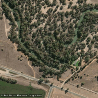
Billabong Creek
- Boat Ramps
- 1
- Access Points
- 0
- Campsites
- 9
Billabong Creek is a partly perennial stream in the Riverina region of New South Wales, forming part of the Murray River catchment within the Murray-Darling Basin. Believed to be the longest creek in the world, it stretches approximately 320 kilometres from its source near Holbrook, where the Yarra Yarra Creek and Little Billabong Creek converge, flowing generally westward before joining the Edward River at Moulamein. Over that course it descends 252 metres in elevation, passing through towns including Culcairn, Walbundrie, Rand, Jerilderie, Conargo, Wanganella, and Moulamein.
The lower reaches near Moulamein, where Billabong Creek meets the Edward River, have been paddled by kayakers, with the area noted for ring trees, scar trees, and ancient red gums of cultural and natural significance. The creek passes through flat Riverina country typical of the Murray-Darling floodplain, and its partly perennial nature means water levels can vary considerably depending on season and rainfall.
Near Conargo, a boat ramp at Forest Creek provides one documented access point, with paddlers reporting navigable water both upstream and downstream of that location. The creek supports Murray cod, common carp, and golden perch, which may be of interest to paddlers who also fish. Given its partly perennial character, prospective paddlers should verify water levels before planning a trip, as sections of the creek may be shallow or dry during drier periods.
Water access, boat ramps & amenities
Learn how to get on Billabong Creek. Uncover great paddling access points, boat ramps, and all the facilities you need for an unforgettable day on the water. Some locations shown may border or include private property. Always check property boundaries and applicable regulations before visiting. PaddleWays's Public & Private Land layer can help you plan your access with confidence.
Paddle smarter with real-time insights
Whether you're en route and conditions shift or you're looking for the best spot based on current flows, we enable you to make informed decisions on the fly.








Find Places to Paddle

Over 400,000 Places to Paddle
Every user gets free access to launch points, boat ramps, and public property parcels.


Water and weather conditions (10 day forecast)
See the best times to paddle Billabong Creek and check the forecast before you go.
Edward River At Moulamein
All Flow Stations
Paddling near Billabong Creek
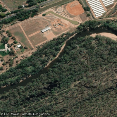
Goulburn River
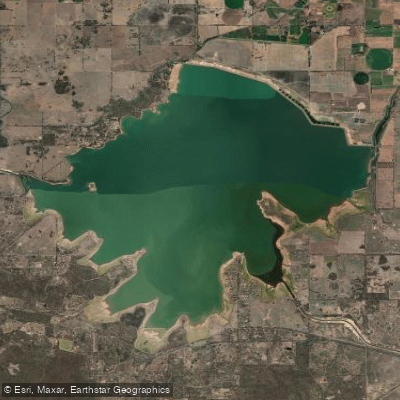
Waranga Basin

Murray River
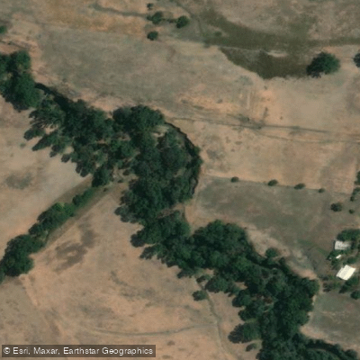
Holland Creek

Campaspe River
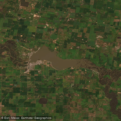
Lake Mulwala
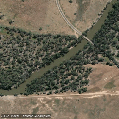
Edward River
Gulpa Creek
Hughes Creek
Ovens River
Explore New South Wales waters
Top paddling waters
No waters available right now.
Popular Cities
Loading popular cities...
Explore near Billabong Creek
Access points
Nearby waters
More in New South Wales

Smarter Paddling Starts in the App.
Paddleways gives you everything you need to plan smarter, paddle better, and own every trip from first launch to takeout.