Never Never Creek
Never Never Creek
- Boat Ramps
- 0
- Access Points
- 0
- Campsites
- 0
Never Never Creek (also referred to as the Never Never River) is a perennial stream located in the Mid North Coast region of New South Wales, within the Bellinger River catchment. It rises on the eastern slopes of the Dorrigo Plateau near Tallowood Point, east-northeast of Dorrigo, within Dorrigo National Park, and flows generally southeast and southwest before joining the Bellinger River near Gordonville, northwest of Bellingen. The river descends 64 metres over its 9-kilometre course, making it a relatively short but distinct waterway.
The creek is known for its crystal-clear water, a quality attributed to its geology and the largely intact forested catchment with minimal human interference upstream. The water runs through significant canyon terrain before reaching the more accessible lower reaches. Kayakers have noted that the paddleable section feels brief — one account describes a run at Old Crossing at a gauge reading of 1.3 metres (795 ML) in May 2025 — and that fallen trees are a notable obstacle requiring attention on the water.
The area known as the Promised Lands, near Gleniffer and close to the town of Bellingen, is a popular access point and swimming area. This section lies within Tuckers Nob State Forest on Crown Land managed by Forestry Corporation NSW. As of 2024, part of this area has been declared part of an 81,000-hectare Indigenous Protected Area (IPA) under the stewardship of the Yurruungga Aboriginal Corporation, the traditional Gumbaynggir custodians of the land. Paddlers should be aware that occasional closures of sections within the IPA are possible, and the area carries significant cultural importance to the Gumbaynggir people.
Water quality has been a documented concern. In January 2023, testing revealed elevated levels of faecal matter at the popular swimming section, attributed to the volume of visitors. Contaminants such as sunscreen, insect repellent, and similar products have also been identified as concerns given the shallow and pristine nature of the waterway. The site currently lacks public toilets, rubbish bins, and formal parking infrastructure, as it is not officially recognised as a tourist area by Forestry Corporation NSW. Visitor numbers, particularly in summer, are high, which affects both water quality and the overall experience on the water.
Water access, boat ramps & amenities
Learn how to get on Never Never Creek. Uncover great paddling access points, boat ramps, and all the facilities you need for an unforgettable day on the water. Some locations shown may border or include private property. Always check property boundaries and applicable regulations before visiting. PaddleWays's Public & Private Land layer can help you plan your access with confidence.
Paddle smarter with real-time insights
Whether you're en route and conditions shift or you're looking for the best spot based on current flows, we enable you to make informed decisions on the fly.








Find Places to Paddle

Over 400,000 Places to Paddle
Every user gets free access to launch points, boat ramps, and public property parcels.


Water and weather conditions (10 day forecast)
See the best times to paddle Never Never Creek and check the forecast before you go.
No forecast data available.
Paddling near Never Never Creek
Wyong River
Tuggerah
Tuggerah Lakes
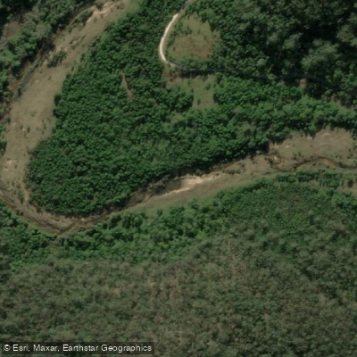
Mangrove Creek
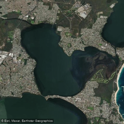
Budgewoi Lake
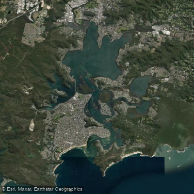
Brisbane Water
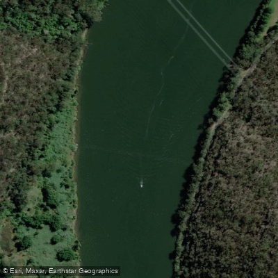
Hawkesbury River
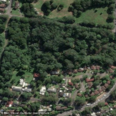
Narara Creek
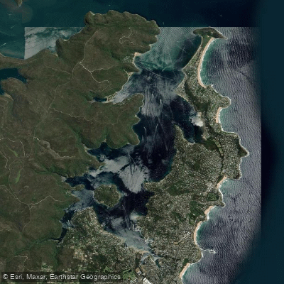
Pittwater
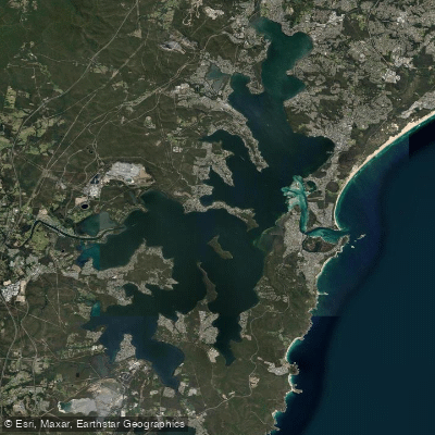
Lake Macquarie
Explore New South Wales waters
Top paddling waters
No waters available right now.
Popular Cities
Loading popular cities...
Explore near Never Never Creek

Smarter Paddling Starts in the App.
Paddleways gives you everything you need to plan smarter, paddle better, and own every trip from first launch to takeout.