Nymboida River
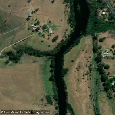
Nymboida River
- Boat Ramps
- 1
- Access Points
- 0
- Campsites
- 4
The Nymboida River flows through northern New South Wales, approximately 52 kilometres west of Grafton, passing through Nymboi-Binderay and Nymboida National Parks. The river forms the backbone of the Clarence Canoe and Kayak Trail, which covers more than 195 kilometres across the Nymboida, Mann, and Clarence river systems and is recognised as Australia's longest mapped whitewater trail. The river corridor features granite gorges, rainforest-lined banks, and dramatic granitic rock formations including outcrops and balancing tors. The water is described as crystal clear and suitable for drinking, though paddlers are advised to bring their own supply if uncertain.
The river offers a range of difficulty across its length. Upper sections from Nymboida township through to Buccarumbi run at Grade 2, suitable for intermediate paddlers, with a compulsory portage at Nymboida Weir. The section from Buccarumbi to the Nymboida River Campground in Nymboida National Park is also Grade 2, covering approximately 22–24 kilometres. The most demanding section runs 23 kilometres from the Nymboida River Campground to Jackadgery on the Mann River, rated Grade 3 with several Grade 4 rapids where portages are recommended; this stretch is suitable for experienced paddlers only. Named rapids on this section include Cunglebung Falls, Exhibition Falls, Demolition Derby, Bridal Veil Falls, and New Zealand Falls. Paddling time for this section is estimated at 6–8 hours.
Water levels for the challenging lower section are monitored via the Mann River at Jackadgery gauge, with a minimum recommended level of 0.80 metres, a good level of 1.4 metres, and a maximum of 2.0 metres. Access to the Nymboida River Campground put-in requires a 4WD vehicle. Camping is available along the river, and the campground in Nymboida National Park provides toilets, a fridge, and hot showers. Firewood should be brought in by paddlers.
Wildlife is present throughout the corridor, and the remote national park setting provides a strong sense of wilderness, particularly on the lower sections. Guided multi-day trips are available through several operators for those seeking instruction or support on the whitewater sections. The river also supports freshwater fishing, and swimming is possible at various points including the Junction area near Nymboida township.
Water access, boat ramps & amenities
Learn how to get on Nymboida River. Uncover great paddling access points, boat ramps, and all the facilities you need for an unforgettable day on the water. Some locations shown may border or include private property. Always check property boundaries and applicable regulations before visiting. PaddleWays's Public & Private Land layer can help you plan your access with confidence.
Paddle smarter with real-time insights
Whether you're en route and conditions shift or you're looking for the best spot based on current flows, we enable you to make informed decisions on the fly.








Find Places to Paddle

Over 400,000 Places to Paddle
Every user gets free access to launch points, boat ramps, and public property parcels.


Water and weather conditions (10 day forecast)
See the best times to paddle Nymboida River and check the forecast before you go.
Nymboida River At Nymboida
All Flow Stations
Paddling near Nymboida River
Bellinger River
Bobo River
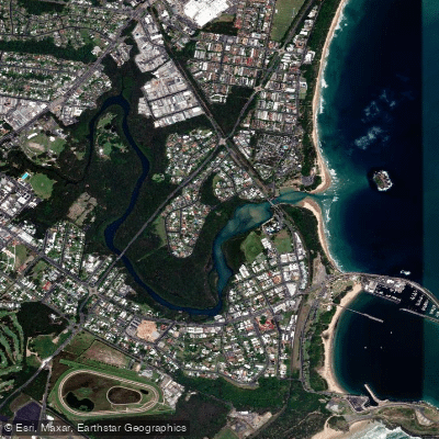
Coffs Harbour Creek
Kalang River
Little Nymboida River
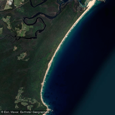
Bonville
Bonville Creek
Pine Creek
Park Beach
Coffs Creek
Explore New South Wales waters
Top paddling waters
No waters available right now.
Popular Cities
Loading popular cities...
Explore near Nymboida River
Access points
Nearby waters
More in New South Wales

Smarter Paddling Starts in the App.
Paddleways gives you everything you need to plan smarter, paddle better, and own every trip from first launch to takeout.