Stony Creek
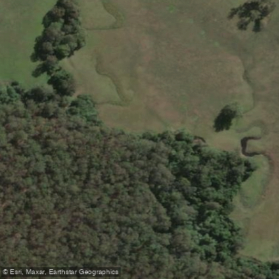
Stony Creek
- Boat Ramps
- 0
- Access Points
- 0
- Campsites
- 0
Stony Creek in New South Wales forms part of a 21-kilometre paddle route in conjunction with Burrill Lake, located near the town of Milton on the South Coast. The route is graded S02 throughout, making it accessible to a wide range of paddlers. The trip typically takes around four hours to complete and is run as a loop, with both the entry and exit point at Barker Reserve. No portages are required along the route.
The Princes Highway crosses the eastern arm of Burrill Lake, though only a small portion of the lake is visible from the road. The main body of the lake and Stony Creek extend almost to Milton. While the eastern arm has some development, the majority of the route retains a natural bushland character. Paddlers can expect views across the lake toward Pigeon House Mountain. The route can be shortened to any length desired, offering flexibility for those with less time.
The creek and lake support a variety of fish species. Anglers paddling the route have opportunities to catch bream, trevally, and flathead, with garfish possible in the shallower sections further up the creek.
Topographic maps covering the area are Tabourie 8927-2S and Milton 8927-2N. The route is managed and described by Eurobodalla Kayakers, a loose network of paddlers in the district who share information about local paddling activities via their website and email list.
Water access, boat ramps & amenities
Learn how to get on Stony Creek. Uncover great paddling access points, boat ramps, and all the facilities you need for an unforgettable day on the water. Some locations shown may border or include private property. Always check property boundaries and applicable regulations before visiting. PaddleWays's Public & Private Land layer can help you plan your access with confidence.
Paddle smarter with real-time insights
Whether you're en route and conditions shift or you're looking for the best spot based on current flows, we enable you to make informed decisions on the fly.








Find Places to Paddle

Over 400,000 Places to Paddle
Every user gets free access to launch points, boat ramps, and public property parcels.


Water and weather conditions (10 day forecast)
See the best times to paddle Stony Creek and check the forecast before you go.
No forecast data available.
Paddling near Stony Creek
Hunter River
Paterson River
Port Stephens
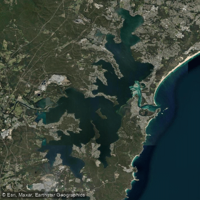
Lake Macquarie
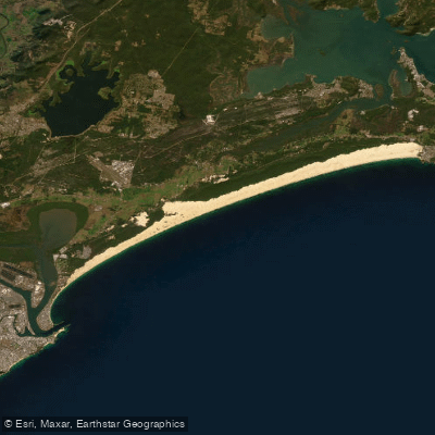
Stockton Beach
Dora Creek
Karuah River
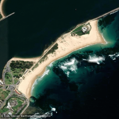
Nobbys Beach
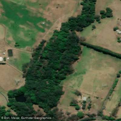
Wyong River
Explore New South Wales waters
Top paddling waters
No waters available right now.
Popular Cities
Loading popular cities...
Explore near Stony Creek
Nearby waters
More in New South Wales

Smarter Paddling Starts in the App.
Paddleways gives you everything you need to plan smarter, paddle better, and own every trip from first launch to takeout.