Pine Creek
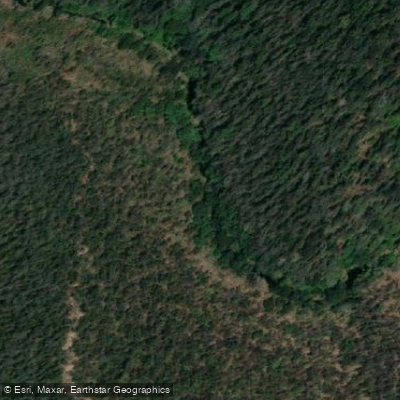
Pine Creek
- Boat Ramps
- 0
- Access Points
- 0
- Campsites
- 1
Pine Creek is a 10-kilometre one-way downstream paddle route within Bongil Bongil National Park, located near Coffs Harbour on the New South Wales North Coast. The route runs from the Burma Road launch site downstream to where Pine Creek meets Bonville Creek at Sawtell, finishing at the Bonville Creek boat ramp off Lyons Road. The Burma Road put-in is accessible by 4WD only, with limited turnaround space for vehicles towing trailers. Paddlers must arrange a car shuffle or pickup at the end, as the route is one-way. Parking is available at the Bonville boat ramp and at Bongil picnic area.
The route is graded medium and is recommended for fit, experienced, and self-reliant paddlers. The suggested time is 3 to 4 hours. The upper section of Pine Creek is stained brown by melaleuca and lined by towering eucalypts and pines, transitioning downstream into mangrove-lined channels and eventually reaching coastal dunes near the Bonville boat ramp. The creek passes through what has been described as "everglade-type" riparian vegetation, with tree ferns visible along the banks in places.
The best conditions for paddling are at high tide on the outgoing tide, which helps avoid obstacles such as fallen tree branches. Depending on water levels, paddlers may need to carry their craft over fallen branches, particularly near the start of the route. The creek is a designated low-speed waterway with a maximum 4-knot speed limit; motorboats, jet skis, and waterskiing are not permitted.
Paddlers should carry a hat, sunscreen, snacks, drinking water, suitable clothing, a first aid kit, and a personal locator beacon. The nearest toilets to the launch point are at Sid Burke Forest Park, off Pine Creek Way west of the highway. Toilet, barbecue, and picnic facilities are available at Bongil picnic area and in Sawtell. Paddlers with remaining energy after completing the main route can continue upstream along Bonville Creek to Bongil picnic area. The area supports abundant birdlife and wildlife, and the creek corridor is a recognised wildlife haven within the national park. Fenced areas protecting endangered Floyd's grass are present along the route and must not be crossed.
Water access, boat ramps & amenities
Learn how to get on Pine Creek. Uncover great paddling access points, boat ramps, and all the facilities you need for an unforgettable day on the water. Some locations shown may border or include private property. Always check property boundaries and applicable regulations before visiting. PaddleWays's Public & Private Land layer can help you plan your access with confidence.
Paddle smarter with real-time insights
Whether you're en route and conditions shift or you're looking for the best spot based on current flows, we enable you to make informed decisions on the fly.








Find Places to Paddle

Over 400,000 Places to Paddle
Every user gets free access to launch points, boat ramps, and public property parcels.


Water and weather conditions (10 day forecast)
See the best times to paddle Pine Creek and check the forecast before you go.
No forecast data available.
Paddling near Pine Creek
Bellinger River
Bobo River
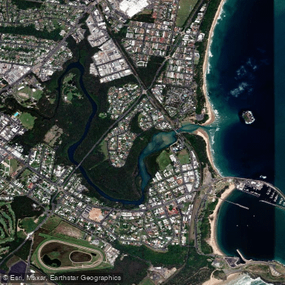
Coffs Harbour Creek
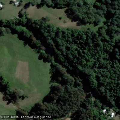
Kalang River
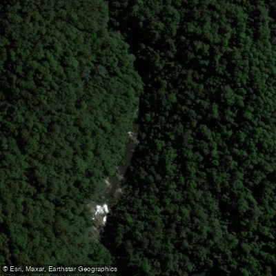
Little Nymboida River
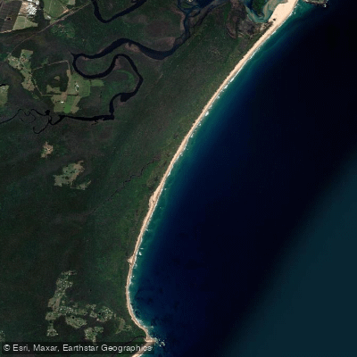
Bonville
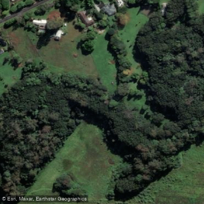
Bonville Creek
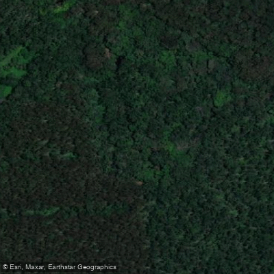
Pine Creek
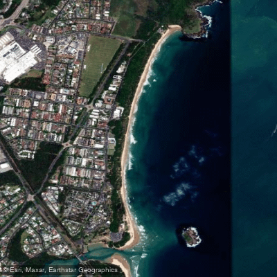
Park Beach
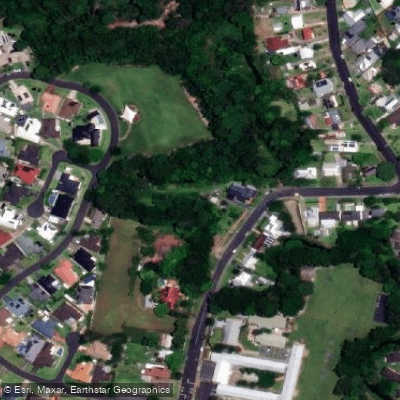
Coffs Creek
Explore New South Wales waters
Top paddling waters
No waters available right now.
Popular Cities
Loading popular cities...
Explore near Pine Creek
Access points
Nearby waters
More in New South Wales

Smarter Paddling Starts in the App.
Paddleways gives you everything you need to plan smarter, paddle better, and own every trip from first launch to takeout.