Pipers Creek
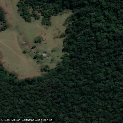
Pipers Creek
- Boat Ramps
- 0
- Access Points
- 0
- Campsites
- 0
Pipers Creek near Kundabung on the NSW Mid North Coast rises within Ballengarra State Forest and flows east-southeast before reaching its confluence with the Maria River. It descends 177 metres over its 32-kilometre course. The creek is accessed via a dirt road at the end of the hamlet of Kundabung, which sits in a quiet rural setting lined with large trees.
The paddling character of this creek varies by direction from the access point. Paddling upstream to the north is considered the more scenic option, with tall trees on both sides, cascading vines reaching to the waterline, elk ferns visible on tree trunks, and a diverse range of vegetation. The canopy and surrounding forest create an isolated, atmospheric quality, particularly under overcast conditions. Downstream, the creek connects to the Maria River, and this section also links to Connection Creek and the Upper Maria River, offering options for longer multi-waterway routes.
The creek is a popular destination for the Port Macquarie Hastings Canoe Club, and the access point at Kundabung includes space for camping, which means the put-in area can be occupied by other users. Once on the water, paddlers typically have the creek to themselves. The surrounding landscape includes remnants of historical lime kilns associated with convict-era industry, and heritage tours of these kilns are occasionally conducted by NSW National Parks and Wildlife.
The creek is also noted in the context of the NSW Mid North Coast paddling trail on Global Paddler, suggesting it is a recognised destination along that regional paddling network. No specific restrictions on paddling apply.
Water access, boat ramps & amenities
Learn how to get on Pipers Creek. Uncover great paddling access points, boat ramps, and all the facilities you need for an unforgettable day on the water. Some locations shown may border or include private property. Always check property boundaries and applicable regulations before visiting. PaddleWays's Public & Private Land layer can help you plan your access with confidence.
Paddle smarter with real-time insights
Whether you're en route and conditions shift or you're looking for the best spot based on current flows, we enable you to make informed decisions on the fly.








Find Places to Paddle

Over 400,000 Places to Paddle
Every user gets free access to launch points, boat ramps, and public property parcels.


Water and weather conditions (10 day forecast)
See the best times to paddle Pipers Creek and check the forecast before you go.
No forecast data available.
Paddling near Pipers Creek
Hastings River
Herons Creek
Lake Cathie/Innes
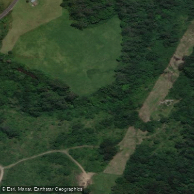
Camden Haven River
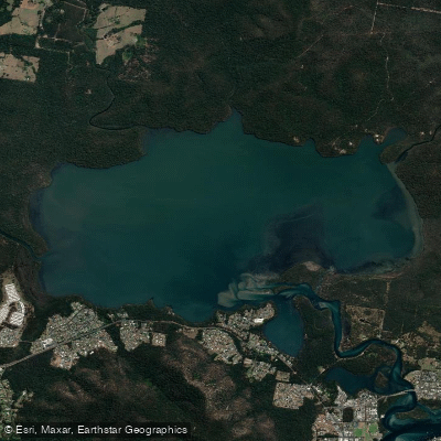
Queens Lake
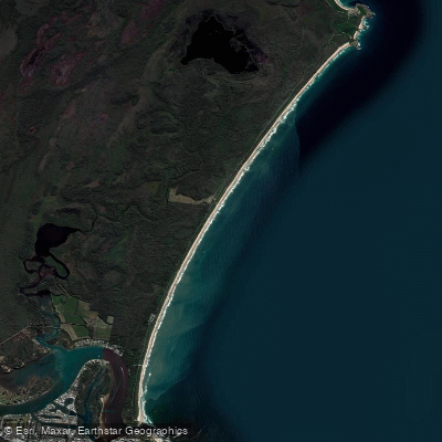
North Shore Beach
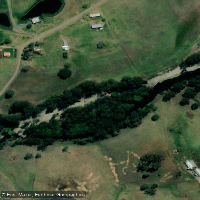
Wilson River
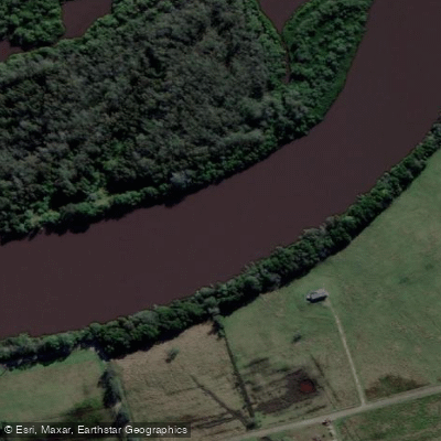
Maria River
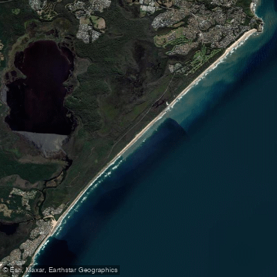
Lighthouse Beach
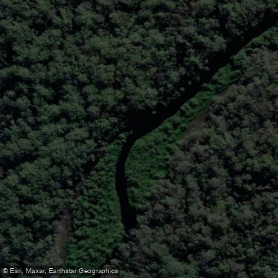
Limeburners Creek
Explore New South Wales waters
Top paddling waters
No waters available right now.
Popular Cities
Loading popular cities...
Explore near Pipers Creek

Smarter Paddling Starts in the App.
Paddleways gives you everything you need to plan smarter, paddle better, and own every trip from first launch to takeout.