South Smoky Beach
- Saltwater
- Beach
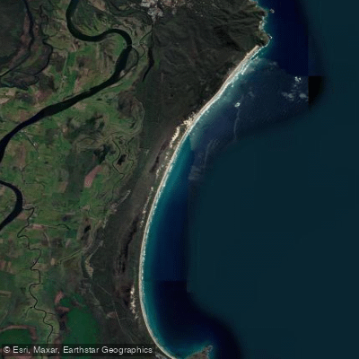
South Smoky Beach
- Saltwater
- Beach
- Sq. miles
- 0.3
- Boat Ramps
- 0
- Access Points
- 0
- Campsites
- 1
South Smoky Beach is a long, wide sandy beach stretching approximately 14.5 kilometers from Hat Head north to Smoky Cape on the Macleay Valley Coast. It is characterized by its glistening white sands and is the longest beach drive in the area. Access for paddlers launching from the shore requires a National Parks Pass, as the beach is located within Hat Head National Park. The primary vehicle access point for the beach is via a 4WD trail, and a permit system for beach driving is in place, though a specific beach driving permit is not required. The beach faces the open ocean, making it exposed to prevailing winds and swell, which can generate surf and shore-break conditions. These conditions, along with the potential for strong ebb tides noted in the broader region, are significant safety considerations for paddlers launching and landing through the surf zone.
Notable sights from the water include the historic Smoky Cape Lighthouse, situated on the headland at the beach's northern terminus. The lighthouse provides a spectacular vantage point, and the area is known for seasonal whale watching between May and November. The beach is part of a region with significant natural heritage, including habitat for endangered species like the Green and Golden Bell Frog in the adjacent dunes, which paddlers should be mindful to avoid disturbing. For a day trip, paddlers can explore the coastline from the beach launch point north towards the dramatic Smoky Cape headland or south towards Hat Head, taking in the extensive sandy vistas. The beach's length and openness mean it can be subject to strong onshore winds, which paddlers should factor into trip planning, particularly for longer excursions.
Water access, boat ramps & amenities
Learn how to get on South Smoky Beach. Uncover great paddling access points, boat ramps, and all the facilities you need for an unforgettable day on the water. Some locations shown may border or include private property. Always check property boundaries and applicable regulations before visiting. PaddleWays's Public & Private Land layer can help you plan your access with confidence.
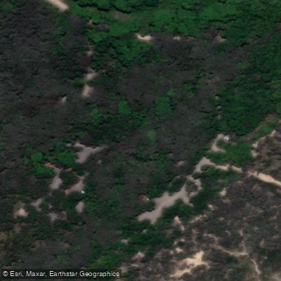
Paddle smarter with real-time insights
Whether you're en route and conditions shift or you're looking for the best spot based on current flows, we enable you to make informed decisions on the fly.








Find Places to Paddle

Over 400,000 Places to Paddle
Every user gets free access to launch points, boat ramps, and public property parcels.


Tides, wind & water conditions (10 day forecast)
On open water, wind and tide matter as much as the weather. See the best times to paddle South Smoky Beach and check the marine forecast before you launch.
Loading tide predictions…
Paddling near South Smoky Beach
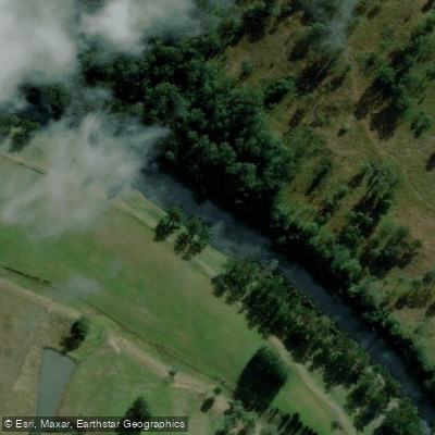
Hastings River
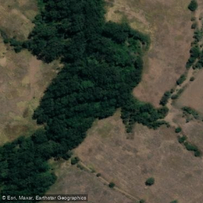
Herons Creek
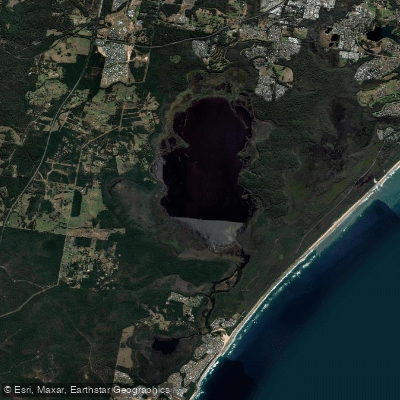
Lake Cathie/Innes
Camden Haven River
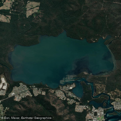
Queens Lake
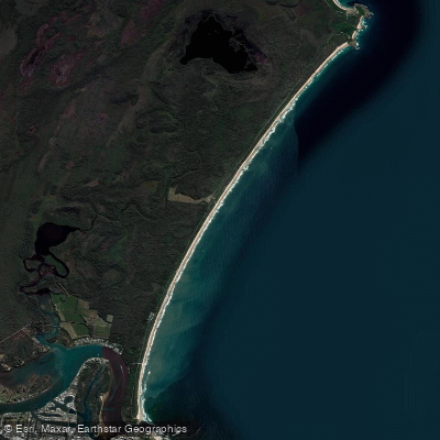
North Shore Beach
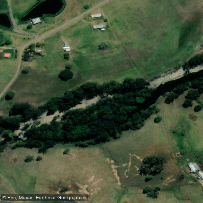
Wilson River
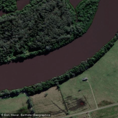
Maria River
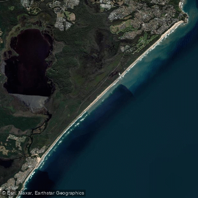
Lighthouse Beach
Limeburners Creek
Explore New South Wales waters
Top paddling waters
No waters available right now.
Popular Cities
Loading popular cities...
Explore near South Smoky Beach
Access points
Nearby waters
More in New South Wales

Smarter Paddling Starts in the App.
Paddleways gives you everything you need to plan smarter, paddle better, and own every trip from first launch to takeout.