Stewarts River
Stewarts River
- Boat Ramps
- 0
- Access Points
- 0
- Campsites
- 0
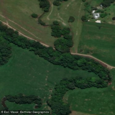
Stewarts River is a perennial stream located in the Camden Haven area of New South Wales' Mid North Coast. It rises on the northern slopes of Big Nellie within Coorabakh National Park, west of Hannam Vale, flowing east by south and then east before joining the Camden Haven River and reaching its mouth at Watson Taylor Lake. The river descends 132 metres over its 62-kilometre course.
Access is via Wharf Road at Johns River, where the highway crosses the river. The approach along Wharf Road takes paddlers away from the Pacific Highway and through an avenue of pine trees to the riverbank. The access point is described as somewhat awkward, though the reward is a largely undisturbed stretch of water.
The paddleable section meanders gently for approximately 5 kilometres through rural land before opening into Watson Taylor Lake. Heading upstream from the put-in toward the railway bridge, the river narrows and trees lean across the water. Water levels can be lower in this upper section, which may produce a swampy odour, though this dissipates further downstream. The river's course through rural land and riparian vegetation means it is not visible from the highway, contributing to its low profile as a paddling destination.
Wildlife is a notable feature of the river. Azure kingfishers are present in good numbers — sightings of several together have been reported, which is considered unusual. Fish are active throughout the river, and birdsong is prominent in the tree canopy. The dappled light through the riverside vegetation creates strong reflections on the water's surface.
Watson Taylor Lake, which the river flows into, opens into a broad panoramic expanse and can be incorporated into a day trip as an extension of the river paddle. The combination of the narrow, tree-lined river and the expansive lake makes for a varied outing.
Stewarts River is considered the least-known paddling destination in the Camden Haven area, and paddlers can generally expect to have the water to themselves. No specific restrictions or regulations on paddling are noted for this waterway.
Water access, boat ramps & amenities
Learn how to get on Stewarts River. Uncover great paddling access points, boat ramps, and all the facilities you need for an unforgettable day on the water. Some locations shown may border or include private property. Always check property boundaries and applicable regulations before visiting. PaddleWays's Public & Private Land layer can help you plan your access with confidence.
Paddle smarter with real-time insights
Whether you're en route and conditions shift or you're looking for the best spot based on current flows, we enable you to make informed decisions on the fly.








Find Places to Paddle

Over 400,000 Places to Paddle
Every user gets free access to launch points, boat ramps, and public property parcels.


Water and weather conditions (10 day forecast)
See the best times to paddle Stewarts River and check the forecast before you go.
Stewarts River At Stewarts River
All Flow Stations
Paddling near Stewarts River
Hastings River
Herons Creek
Lake Cathie/Innes
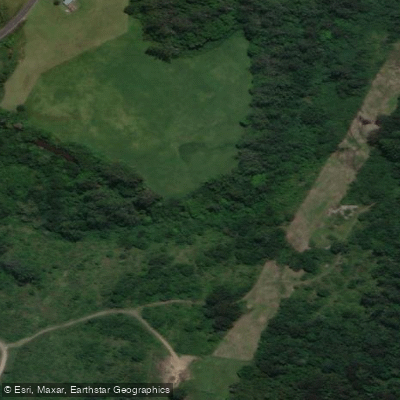
Camden Haven River
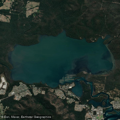
Queens Lake
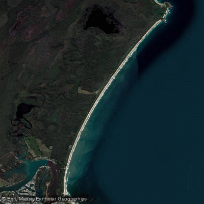
North Shore Beach
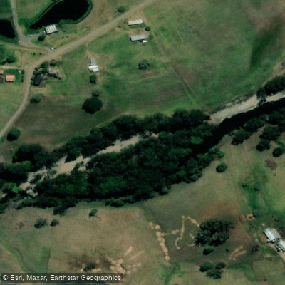
Wilson River
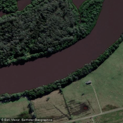
Maria River
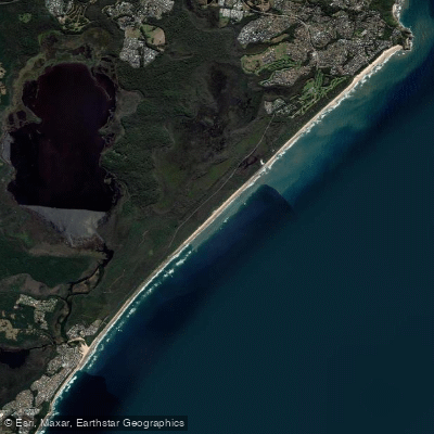
Lighthouse Beach
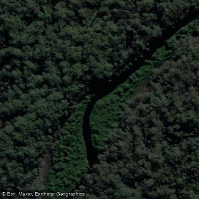
Limeburners Creek
Explore New South Wales waters
Top paddling waters
No waters available right now.
Popular Cities
Loading popular cities...
Explore near Stewarts River

Smarter Paddling Starts in the App.
Paddleways gives you everything you need to plan smarter, paddle better, and own every trip from first launch to takeout.