Warrell Creek
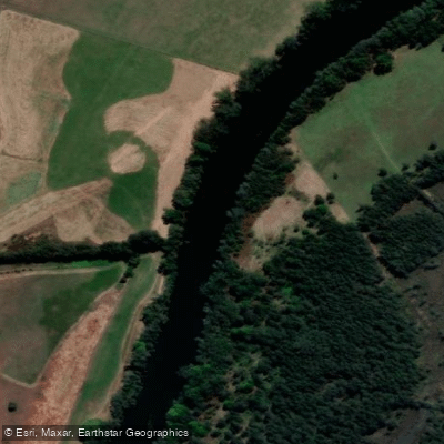
Warrell Creek
- Boat Ramps
- 4
- Access Points
- 0
- Campsites
- 3
Warrell Creek runs along the western boundary of Gaagal Wanggaan (South Beach) National Park on the NSW Mid North Coast. Its name translates to "Black Duck Creek" in the local language, a fitting reference to the wildlife that inhabits the area. The waterway is known for being a quiet and relaxed paddle, often shaded, and is regarded as a local favourite due to its straightforward access despite feeling remote once on the water.
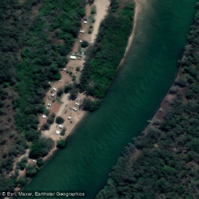
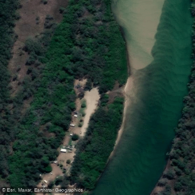
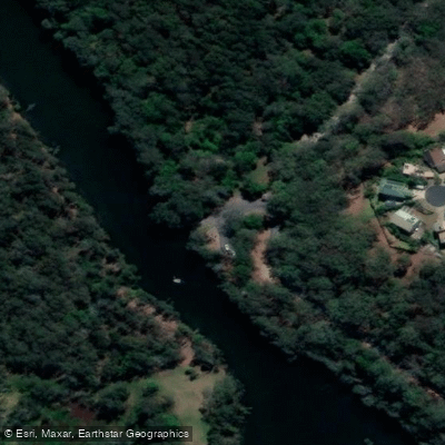
There are three canoe access points reachable by vehicle. Parking is available at Weir Reserve at Scotts Head, Boultons Crossing campground, and the Warrell Creek picnic area, though no designated disabled parking is provided. A separate paddle trail covers Upper Warrell Creek, which takes in the creek upstream of the Pacific Highway and is similarly accessible and easy to navigate.
Mobile phone reception is limited throughout the park, so paddlers should download the Emergency Plus app before visiting, as it uses smartphone GPS to assist emergency services in locating users. In any emergency, Triple Zero (000) is the number to call.
Fishing is permitted with a current NSW recreational fishing licence. Pets and domestic animals are not allowed within the national park, with the exception of certified assistance animals. Gathering firewood and smoking are also prohibited.
Spring and summer are highlighted as good times to visit the broader Gaagal Wanggaan National Park, with beach walking and exploration of the waterways among the seasonal activities available to visitors.
Water access, boat ramps & amenities
Learn how to get on Warrell Creek. Uncover great paddling access points, boat ramps, and all the facilities you need for an unforgettable day on the water. Some locations shown may border or include private property. Always check property boundaries and applicable regulations before visiting. PaddleWays's Public & Private Land layer can help you plan your access with confidence.
Paddle smarter with real-time insights
Whether you're en route and conditions shift or you're looking for the best spot based on current flows, we enable you to make informed decisions on the fly.








Find Places to Paddle

Over 400,000 Places to Paddle
Every user gets free access to launch points, boat ramps, and public property parcels.


Water and weather conditions (10 day forecast)
See the best times to paddle Warrell Creek and check the forecast before you go.
No forecast data available.
Paddling near Warrell Creek
Bellinger River
Bobo River
Coffs Harbour Creek
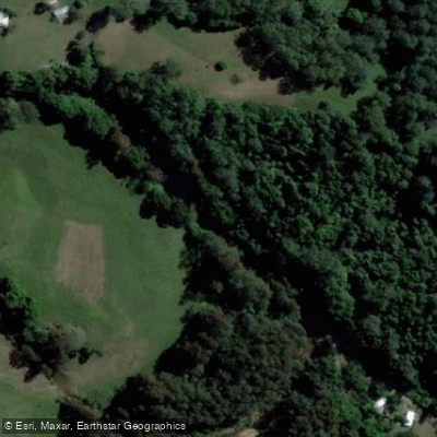
Kalang River
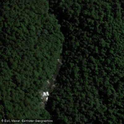
Little Nymboida River
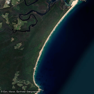
Bonville
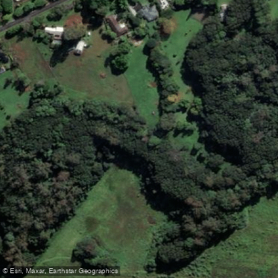
Bonville Creek
Pine Creek
Park Beach
Coffs Creek
Explore New South Wales waters
Top paddling waters
No waters available right now.
Popular Cities
Loading popular cities...
Explore near Warrell Creek
Access points
Nearby waters
More in New South Wales

Smarter Paddling Starts in the App.
Paddleways gives you everything you need to plan smarter, paddle better, and own every trip from first launch to takeout.