Watson Taylors Lake
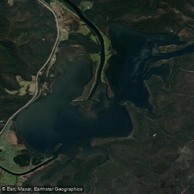
Watson Taylors Lake
- Boat Ramps
- 0
- Access Points
- 0
- Campsites
- 0
Watson Taylors Lake is an expansive lake located in New South Wales on the Mid North Coast, positioned roughly midway between Port Macquarie and Taree at coordinates 31°42′32.5″S 152°44′48.4″E. It sits within the Camden Haven waterway system, which connects the Camden Haven River to Queens Lake and Gogleys Lagoon before the system reaches the Pacific Ocean at Laurieton, Dunbogan, and North Haven. Despite its size, the lake's forested shoreline keeps it relatively well screened from the nearby Pacific Highway, giving it a distinctly natural character.
The lake forms part of a broader estuarine network, making it well suited to multi-lake paddling routes. A popular circuit involves exploring Queens Lake, passing through Stingray Creek, and continuing into Watson Taylors Lake before connecting with the Camden Haven River. This route can be done by kayak or boat, and kayak hire is available through the Dunbogan Boatshed, which also offers boat hire and fishing gear. The Apex Park Boat Ramp in Laurieton and the Dunbogan Reserve Boat Ramp are among the access points in the broader Camden Haven area.
The lake is an estuarine environment, meaning water conditions can be affected by rainfall events. After heavy rain, the lake and surrounding river system can carry significant volumes of muddy freshwater along with debris and other hazards washed downstream, which is worth factoring into trip planning. The Three Brothers mountains provide a backdrop to the lake's setting.
Wildlife interest in the area includes dusky flathead and surf bream, which are the most commonly encountered fish species. The broader Camden Haven system is also noted for prawns and crabs during the warmer months, with fishing activity peaking between October and June, particularly around Christmas and Easter. Paddlers sharing the water with fishing and recreational boating activity should be aware that the waterway sees increased use during these periods. The lake connects to a wider network of national parks and reserves in the region, including Dooragan National Park and Crowdy Bay National Park, both accessible within a short distance of the lake.
Water access, boat ramps & amenities
Learn how to get on Watson Taylors Lake. Uncover great paddling access points, boat ramps, and all the facilities you need for an unforgettable day on the water. Some locations shown may border or include private property. Always check property boundaries and applicable regulations before visiting. PaddleWays's Public & Private Land layer can help you plan your access with confidence.
Paddle smarter with real-time insights
Whether you're en route and conditions shift or you're looking for the best spot based on current flows, we enable you to make informed decisions on the fly.








Find Places to Paddle

Over 400,000 Places to Paddle
Every user gets free access to launch points, boat ramps, and public property parcels.


Water and weather conditions (10 day forecast)
See the best times to paddle Watson Taylors Lake and check the forecast before you go.
No forecast data available.
Paddling near Watson Taylors Lake
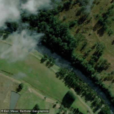
Hastings River
Herons Creek
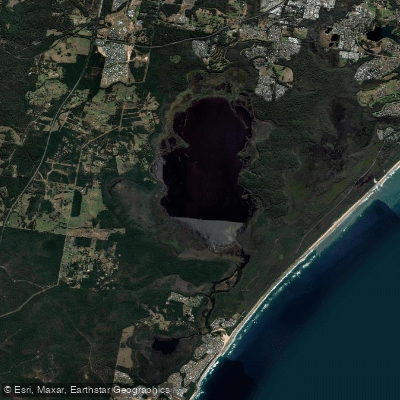
Lake Cathie/Innes
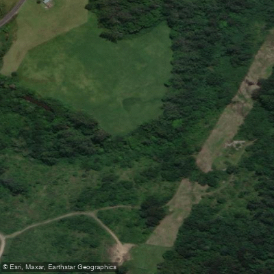
Camden Haven River
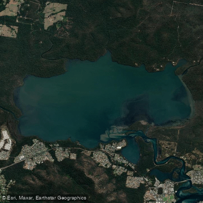
Queens Lake
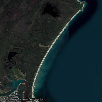
North Shore Beach
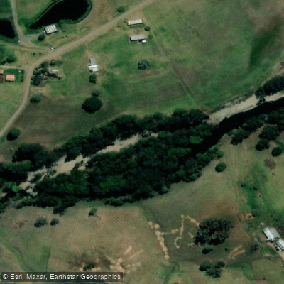
Wilson River
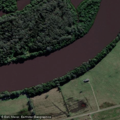
Maria River
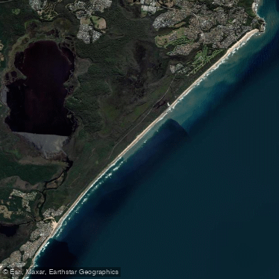
Lighthouse Beach
Limeburners Creek
Explore New South Wales waters
Top paddling waters
No waters available right now.
Popular Cities
Loading popular cities...
Explore near Watson Taylors Lake

Smarter Paddling Starts in the App.
Paddleways gives you everything you need to plan smarter, paddle better, and own every trip from first launch to takeout.