South Alligator River
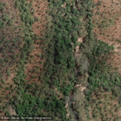
South Alligator River
- Boat Ramps
- 0
- Access Points
- 0
- Campsites
- 0
The South Alligator River flows through Kakadu National Park in Australia's Northern Territory, roughly a two-hour drive from Darwin via the Arnhem Highway. It is the first major feature encountered when approaching Kakadu from that direction, and the river serves as both a fishing destination and a waterway for general boating and cruising.
The river is a tidal system with significant mud banks and sandbars that extend into the channel. Paddlers need to pay close attention to tidal cycles, as getting stranded on a sandbar or mud bank at low tide is a genuine risk. The waterway is also home to saltwater crocodiles — a serious and constant hazard — and all visitors are strongly advised to follow Crocwise safety practices near and on the water at all times.
The surrounding landscape is characterized by expansive wetlands, monsoon forest, and woodland. Birdlife is abundant throughout the region, and the billabongs connected to the river system — including Alligator Billabong, Bucket Billabong, Red Lily Billabong, Two Mile Hole, and Four Mile Hole — offer additional wildlife viewing opportunities. Mosquitoes can be extremely intense, particularly around dusk, and adequate insect protection is essential.
Barramundi fishing is the primary draw for many visitors, with the season running from February to November. The river is accessible year-round from the main boat ramp, though a 4WD track leading to more remote billabongs in the region is open during the dry season only. The dry season generally aligns with the cooler months and is considered the more practical time for extended trips on the water.
Facilities at the South Alligator area include a boat ramp. The broader South Alligator region within Kakadu National Park also offers camping options. Visitors should be aware that Kakadu National Park requires an entry pass.
Water access, boat ramps & amenities
Learn how to get on South Alligator River. Uncover great paddling access points, boat ramps, and all the facilities you need for an unforgettable day on the water. Some locations shown may border or include private property. Always check property boundaries and applicable regulations before visiting. PaddleWays's Public & Private Land layer can help you plan your access with confidence.
Paddle smarter with real-time insights
Whether you're en route and conditions shift or you're looking for the best spot based on current flows, we enable you to make informed decisions on the fly.







Northern Territory licenses and regulations

Find Places to Paddle

Over 400,000 Places to Paddle
Every user gets free access to launch points, boat ramps, and public property parcels.


Water and weather conditions (10 day forecast)
See the best times to paddle South Alligator River and check the forecast before you go.
No forecast data available.
Paddling near South Alligator River
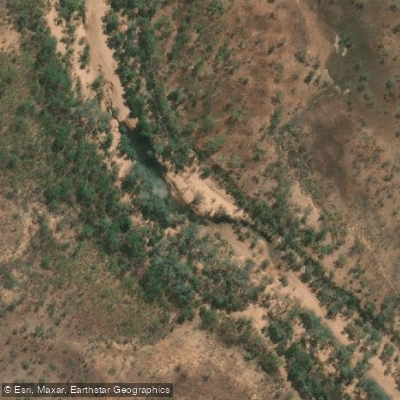
Katherine River
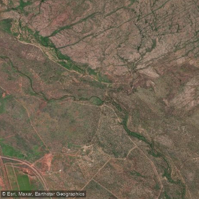
Leight Creek
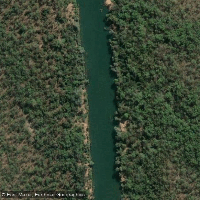
Daly River
King River
Flora River
Ironbark Creek
Mullens Creek
Explore Northern Territory waters
Top paddling waters
No waters available right now.
Popular Cities
Loading popular cities...
Explore near South Alligator River
More in Northern Territory

Smarter Paddling Starts in the App.
Paddleways gives you everything you need to plan smarter, paddle better, and own every trip from first launch to takeout.