Wickham River
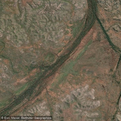
Wickham River
- Boat Ramps
- 0
- Access Points
- 0
- Campsites
- 1
The Wickham River is an ephemeral river located in the Victoria Bonaparte bioregion of the Northern Territory, in the west of the region. It originates at an elevation of approximately 330 metres and descends to around 74 metres where it merges with the Victoria River, dropping roughly 256 metres over its 198-kilometre length. Along its course, the river passes through Johnston Billabong at an elevation of 117 metres. Because it is ephemeral, flow conditions are seasonal and paddlers should plan accordingly.
The river is accessible via private cattle station land, and guided tours typically involve a four-wheel drive transfer to the put-in point. Gecko Canoeing & Trekking is one of the established operators running tours on the Wickham, offering multi-day canoe trips through what is described as remote, pristine wilderness. The surrounding landscape includes pandanus-lined channels, waterholes, sandy beaches, and billabongs. Wildlife and birdwatching opportunities are noted as significant features of the experience.
Given its remote location in the Northern Territory, paddlers should be aware that crocodiles are present in Top End waterways generally, which is a standard and serious safety consideration for any river paddling in this region. The terrain surrounding the river includes river crossings, boggy wet country, open plains, and occasional steep terrain, suggesting that access and egress can be challenging.
The river is best suited to those seeking an extended wilderness experience in a genuinely remote setting. Guided tours covering the Wickham typically span multiple days, with camping along the river. The combination of fishing, birdwatching, and paddling makes it a multi-activity destination, though the paddling itself through the remote outback landscape is the central draw. Given its ephemeral nature, the river's paddleability is tied to seasonal rainfall patterns, and prospective paddlers should confirm conditions and water levels with local operators before planning a trip.
Water access, boat ramps & amenities
Learn how to get on Wickham River. Uncover great paddling access points, boat ramps, and all the facilities you need for an unforgettable day on the water. Some locations shown may border or include private property. Always check property boundaries and applicable regulations before visiting. PaddleWays's Public & Private Land layer can help you plan your access with confidence.
Paddle smarter with real-time insights
Whether you're en route and conditions shift or you're looking for the best spot based on current flows, we enable you to make informed decisions on the fly.







Northern Territory licenses and regulations

Find Places to Paddle

Over 400,000 Places to Paddle
Every user gets free access to launch points, boat ramps, and public property parcels.


Water and weather conditions (10 day forecast)
See the best times to paddle Wickham River and check the forecast before you go.
Victoria River - Dashwood Xng
All Flow Stations
Paddling near Wickham River
Katherine River
Leight Creek
Daly River
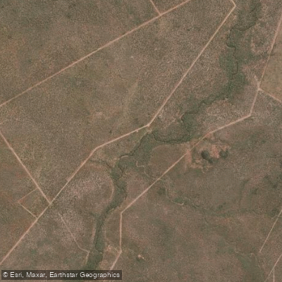
King River
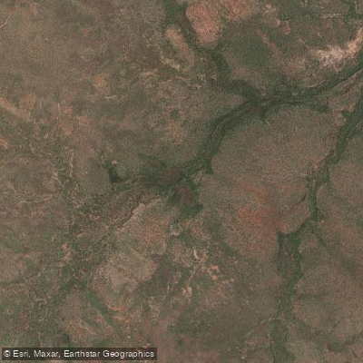
Flora River
Ironbark Creek
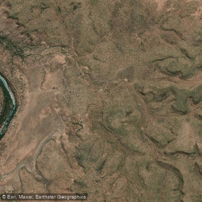
Mullens Creek
Explore Northern Territory waters
Top paddling waters
No waters available right now.
Popular Cities
Loading popular cities...
Explore near Wickham River
Access points
More in Northern Territory

Smarter Paddling Starts in the App.
Paddleways gives you everything you need to plan smarter, paddle better, and own every trip from first launch to takeout.