Paddling in Alpine National Park
- National Park
- Lakes
- 6
- Rivers
- 272
- Access
- 0
- Boat Ramps
- 1
- Shops
- 0
Alpine National Park holds the headwaters of some of Victoria's most significant river systems.
Sprawling across the high country of northeastern Victoria, it's where the Great Dividing Range wrings out the rainfall that feeds rivers running north, south, and east — and where paddlers find water ranging from technical mountain whitewater to long multi-day wilderness runs.
The Snowy River is the park's signature paddle.
Rising near Mount Kosciuszko and cutting through remote gorge country in the park's east, it draws paddlers looking for serious commitment: days of continuous water, limited road access, and a river that reads very differently at different levels.
The upper Snowy runs best after good rainfall, typically autumn through spring. The Macalister, draining the southern ranges, and the Dargo River offer further options in the park's southern reaches, with character that shifts sharply with seasonal flow.
In the north and northeast, the Kiewa River — both its East and West branches — and the Buckland River East Branch flow out of alpine terrain toward the valleys around Bright and Mount Beauty.
The Ovens River, accessible near Bright at the park's edge, is noted for fast, high winter flows suited to whitewater and a gentler summer current. The King River and Cobungra River add to the network of mountain tributaries that drain this part of the range.
The Murray River begins its long journey near the park's northern boundary.
Paddling inside a national park here means operating in country where road access is genuinely sparse, mobile phone coverage is unreliable across much of the area, and self-rescue is the default assumption.
Parks Victoria advises checking river levels and weather with the Bureau of Meteorology before any trip, leaving a detailed itinerary with someone onshore, and — for those without experienced river paddlers in the group — connecting with a licensed tour operator before heading out.
The rivers here don't forgive poor timing or poor preparation. Get the levels right, and this is some of the most consequential mountain river paddling in southeastern Australia.
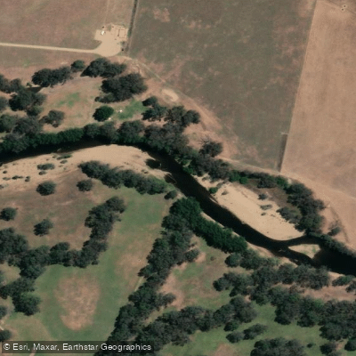
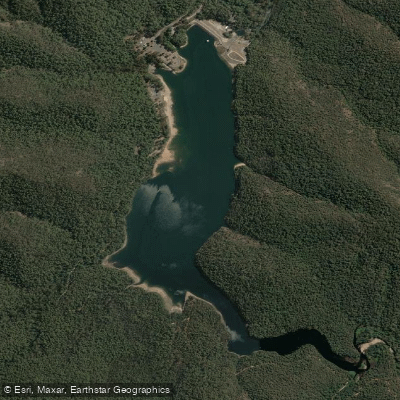
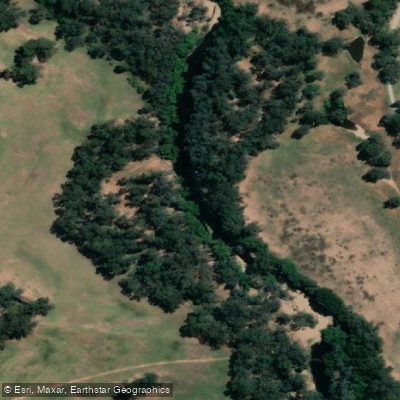
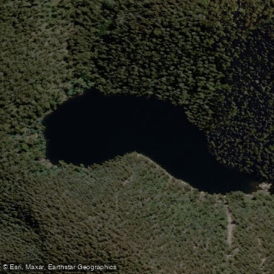
Top waters to paddle near Alpine National Park
Water and weather conditions (10 day forecast)
See the best times to paddle Alpine National Park and check the forecast before you go.
No forecast data available.
Paddle smarter with real-time insights
Whether you're en route and conditions shift or you're looking for the best spot based on current flows, we enable you to make informed decisions on the fly.







Paddling near Alpine National Park
Loading...
Gateway towns
Where to base yourself for paddling in Alpine National Park.
- TawongaVictoria
Small town near the park's northern reaches with the closest accommodation listed for Alpine National Park visitors.
- Mount BullerVictoria
Alpine resort village on the park's western edge offering lodging and services for park visitors year-round.
Explore Alpine National Park
Top paddling waters
Popular Cities
Loading popular cities...

Smarter Paddling Starts in the App.
Paddleways gives you everything you need to plan smarter, paddle better, and own every trip from first launch to takeout.