King River
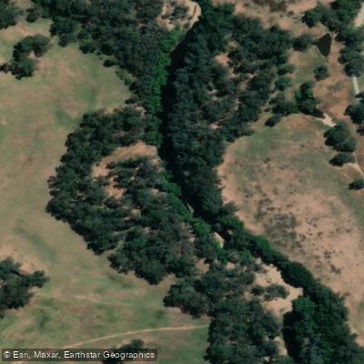
King River
- Boat Ramps
- 1
- Access Points
- 0
- Campsites
- 9
The King River in northeast Victoria is one of the state's most popular whitewater destinations, flowing through the King Valley region near Whitfield and Cheshunt. The river drains into the Ovens system and is regulated by Lake William Hovell, which provides a degree of flow reliability compared to purely rain-dependent rivers.
The most frequently paddled section runs from the Lake William Hovell dam wall to a take-out near Cheshunt South, covering approximately 5 to 6.5 kilometres with a gradient of around 6 metres per kilometre. This reach is characterised by continuous bouncy whitewater rated predominantly Grade 2 to 3, with the first two drops below the spillway among the largest on the run. There is little flat water between rapids, and numerous surf waves and play spots allow paddlers to spend anywhere from 30 minutes to several hours on the water. The shuttle is short — roughly 4 to 5 kilometres on sealed road — making it practical to run the section more than once in a day.
The put-in is at the car park immediately below the dam spillway on Lake William Hovell, accessed via King River Road from Cheshunt. A walking track leads from the car park to the pool below the spillway; this track can be slippery. The take-out is at an open area where the river meets the road back toward Cheshunt. Facilities are available at the car park above the dam but not at the put-in itself. Camping is available at the take-out area, though without facilities, and a caravan park is located at Whitfield.
The key gauge is at Cheshunt, with a minimum recommended level of 0.6 metres, a good level around 1.0 metre, and 2.0 metres considered high. The Lake William Hovell gauge reads approximately 40 centimetres higher than the Cheshunt gauge. Below 1.0 metre the river becomes rocky and more suitable for beginners; above 1.8 metres conditions become fast and demanding. A small hydroelectric plant at the spillway can raise the Cheshunt gauge reading by around 10 centimetres when operating.
The weir, reached roughly 750 metres below the put-in, is a significant hazard and should be scouted at every level. It can be paddled but is dangerous in high or very low conditions; portage on river left is straightforward. The river can rise quickly following rainfall or dam releases. The nearest hospitals are at Mansfield or Wangaratta, and the nearest police are at Whitfield or Mansfield.
An upper section from Pineapple Flat to Lake William Hovell also exists, rated Grade 2 to 3 at moderate levels but reportedly Grade 4 at higher flows. This section has no intermediate access, a long 4WD shuttle, and a very difficult walk-out, making it a more committing undertaking requiring careful preparation.
Water access, boat ramps & amenities
Learn how to get on King River. Uncover great paddling access points, boat ramps, and all the facilities you need for an unforgettable day on the water. Some locations shown may border or include private property. Always check property boundaries and applicable regulations before visiting. PaddleWays's Public & Private Land layer can help you plan your access with confidence.
Paddle smarter with real-time insights
Whether you're en route and conditions shift or you're looking for the best spot based on current flows, we enable you to make informed decisions on the fly.








Find Places to Paddle

Over 400,000 Places to Paddle
Every user gets free access to launch points, boat ramps, and public property parcels.


Water and weather conditions (10 day forecast)
See the best times to paddle King River and check the forecast before you go.
King River @ Docker Road Bridge
All Flow Stations
Paddling near King River
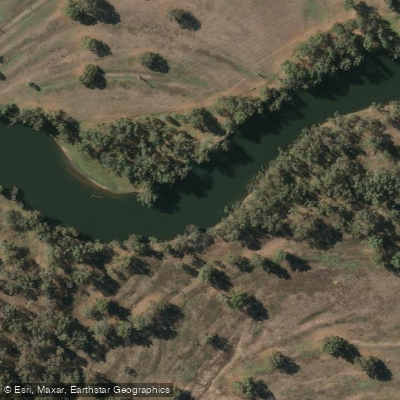
Murray River
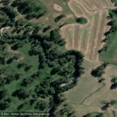
Kiewa River
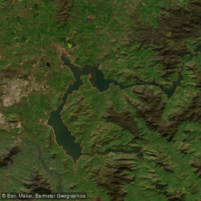
Lake Hume
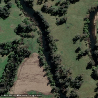
Mitta Mitta River
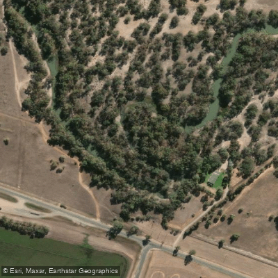
Billabong Creek
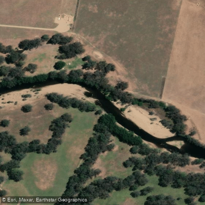
Ovens River
Buffalo Creek
Murray River
Back Creek
Murray River
Explore Victoria waters
Top paddling waters
No waters available right now.
Popular Cities
Loading popular cities...
Explore near King River
Access points
Nearby waters
More in Victoria

Smarter Paddling Starts in the App.
Paddleways gives you everything you need to plan smarter, paddle better, and own every trip from first launch to takeout.