Buchan River
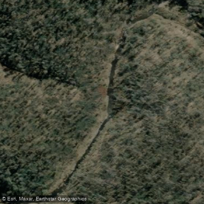
Buchan River
- Boat Ramps
- 0
- Access Points
- 0
- Campsites
- 4
The Buchan River is located in East Gippsland, Victoria, Australia, flowing through largely undisturbed forested reaches before joining the Snowy River at a confluence known as Balley Hooley. The river is perhaps best known to paddlers as the take-out point for the popular McKillops Bridge to Buchan River junction section of the Snowy River, a 76-kilometre journey that typically takes three to four days to complete.
The junction of the Buchan and Snowy Rivers at Balley Hooley serves as the primary take-out point for paddlers completing the McKillops Bridge run on the Snowy. A bush camping area is available at Balley Hooley, at the confluence of the two rivers, providing basic facilities for paddlers finishing multi-day trips. The rural township of Buchan, situated in the Buchan Valley, is nearby and offers accommodation and services including the Buchan Caves Hotel.
The Buchan River itself flows through predominantly forested country upstream of the township, with the headwaters originating in the Alpine National Park at elevations around 1,400 metres. The upper reaches near Native Dog Flat campground are surrounded by dense forest. A rock ramp fishway was constructed between Lousadas Road bridge and the Buchan water supply log weir in the township area, which has opened up an additional 127 kilometres of upstream river habitat. The river supports a range of native fish species including Australian bass, eels, galaxiids, gudgeon, and the nationally threatened Australian grayling, which is also found in the Snowy River.
The broader Buchan district is known for its limestone cave systems, and the surrounding landscape reflects this geology. The area sits approximately 70 kilometres from Bairnsdale and is accessed via roads connecting to the Princes Highway. The Snowy River National Park, through which the lower Buchan River flows before its confluence with the Snowy, is located approximately 390 kilometres north-east of Melbourne.
Paddlers using the Buchan River junction as a take-out for Snowy River trips should be aware that the final day of the Snowy River approach involves mostly flat water through cleared grazing land, covering approximately 25 kilometres, with the junction roughly two to three hours' paddling time from the last gorge section.
Water access, boat ramps & amenities
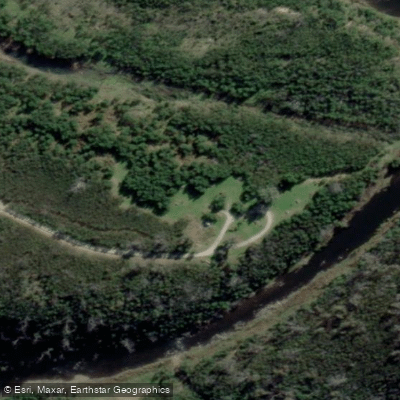
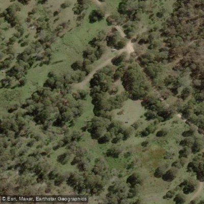
Learn how to get on Buchan River. Uncover great paddling access points, boat ramps, and all the facilities you need for an unforgettable day on the water. Some locations shown may border or include private property. Always check property boundaries and applicable regulations before visiting. PaddleWays's Public & Private Land layer can help you plan your access with confidence.
Paddle smarter with real-time insights
Whether you're en route and conditions shift or you're looking for the best spot based on current flows, we enable you to make informed decisions on the fly.








Find Places to Paddle

Over 400,000 Places to Paddle
Every user gets free access to launch points, boat ramps, and public property parcels.


Water and weather conditions (10 day forecast)
See the best times to paddle Buchan River and check the forecast before you go.
Buchan River @ Buchan
All Flow Stations
Paddling near Buchan River
Murray River
Kiewa River
Lake Hume
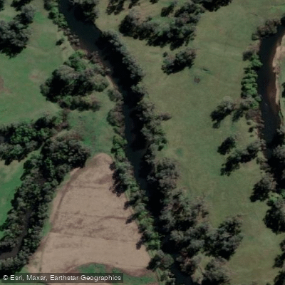
Mitta Mitta River
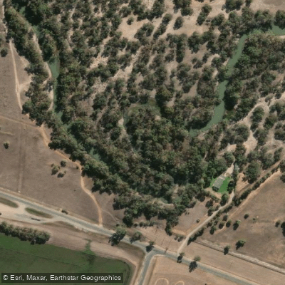
Billabong Creek
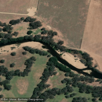
Ovens River
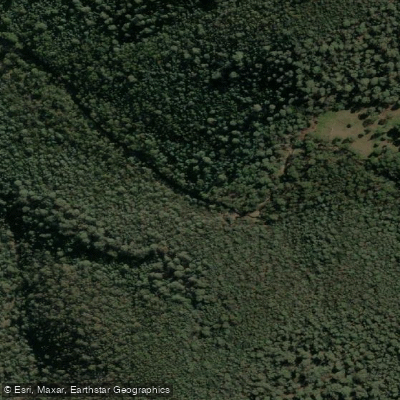
Buffalo Creek
Murray River
Back Creek
Murray River
Explore Victoria waters
Top paddling waters
No waters available right now.
Popular Cities
Loading popular cities...
Explore near Buchan River
Access points
Nearby waters
More in Victoria

Smarter Paddling Starts in the App.
Paddleways gives you everything you need to plan smarter, paddle better, and own every trip from first launch to takeout.