Paddling in Barrington Tops National Park
- National Park
- Lakes
- 1
- Rivers
- 106
- Access
- 0
- Boat Ramps
- 0
- Shops
- 0
Barrington Tops National Park sits on a high basalt plateau in the ranges north of the Hunter Valley, New South Wales — one of the few places in Australia where rivers are born rather than merely passing through.
The Manning, Williams, Barrington, and Karuah all originate here, dropping sharply off the plateau through gorges and rainforest before spreading into the lowlands. For paddlers, that topography means one thing: gradient, and plenty of it in the upper reaches.
The Barrington River is the anchor. It forms near Edwards Swamp below Mount Barrington and runs eastward for 93 kilometres, descending 1,370 metres before reaching Gloucester.
The upper section, still close to the park, moves through gorges with whitewater graded from Class 1 up to Class 3 — enough to keep an intermediate paddler honest and to demand respect from beginners.
Lower down, as the river passes through farmland, it settles into calm pools more suited to canoes and touring kayaks. The Karuah River also originates on the plateau. The plateau's elevation shapes the season.
Snow gums and Antarctic beech grow at the tops, and winter brings cold temperatures and snow. Spring snowmelt and autumn rainfall tend to push the best whitewater flows; summer can see levels drop.
The Barrington has a reputation for reliable water relative to other coastal NSW rivers, but conditions still vary — check flows before committing to the upper gorge sections.
Access into the park is via unsealed roads that can close after heavy rain, so road conditions matter as much as river levels when planning a trip.
Local adventure operators based near Gloucester hire kayaks and run guided trips on the Barrington, which is worth knowing if you're arriving without gear or want local knowledge of current conditions on the upper rapids.
Barrington Tops is a World Heritage-listed park, and that status carries weight on the water. Treat it accordingly — pack out everything, minimise bank disturbance, and give the river the same care you'd want the next paddler to find.
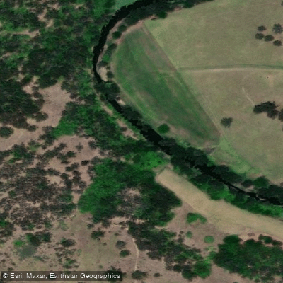
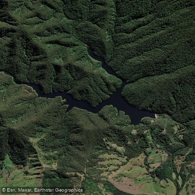
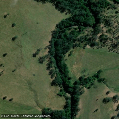
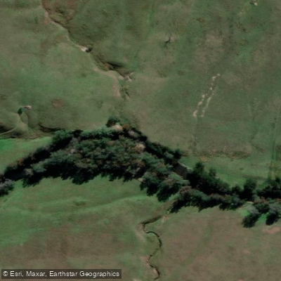
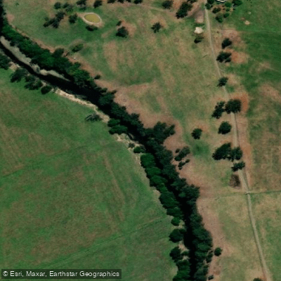
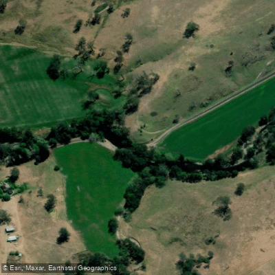
Top waters to paddle near Barrington Tops National Park
Water and weather conditions (10 day forecast)
See the best times to paddle Barrington Tops National Park and check the forecast before you go.
No forecast data available.
Paddle smarter with real-time insights
Whether you're en route and conditions shift or you're looking for the best spot based on current flows, we enable you to make informed decisions on the fly.







Paddling near Barrington Tops National Park
Loading...
Gateway towns
Where to base yourself for paddling in Barrington Tops National Park.
- GloucesterNew South Wales
Closest town to the park and the recommended base; stop at the Visitor Information Centre for maps and local advice.
- DungogNew South Wales
Southern gateway town for the park; pick up self-guided walking maps at the Dungog Visitor Information Centre.
Explore Barrington Tops National Park
Top paddling waters
Popular Cities
Loading popular cities...

Smarter Paddling Starts in the App.
Paddleways gives you everything you need to plan smarter, paddle better, and own every trip from first launch to takeout.