Moppy River
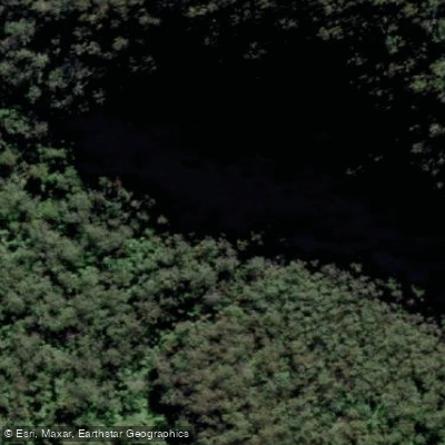
Moppy River
- Boat Ramps
- 0
- Access Points
- 0
- Campsites
- 0
The Moppy River is a perennial river in New South Wales, Australia, forming part of the Manning River catchment. It rises in the Barrington Tops National Park on the eastern slopes of the Mount Royal Range, near Thunderbolts Lookout, at an elevation of approximately 1,500 metres. Over its 22-kilometre course, the river descends 1,140 metres before reaching its confluence with the Barrington River near the village of Moppy. This dramatic elevation drop defines the river's character as a fast, continuously dropping waterway.
The primary paddled section runs from Moppy to Cobark on the upper Barrington River. This is a demanding trip, estimated at around 40 minutes under typical conditions, featuring near-continuous grade 2 and grade 3 rapids. The river is notably narrow throughout, with few eddies, and the channel runs through trees, which adds to the technical challenge and requires attentive navigation. The surrounding bush is considered very attractive and imparts a strong sense of wilderness.
A low-level bridge located after the halfway point may require portaging depending on river height. At flood levels, the bridge becomes submerged and the river becomes significantly more dangerous — with few eddies and the current running through the trees, only very experienced paddlers should consider entering the river under those conditions. Because of the river's small size and narrow width, paddling in small groups is strongly advised.
There are no specific restrictions or regulations for paddling this section, but the technical nature of the water demands appropriate whitewater skills. The combination of continuous rapids, limited recovery zones, and tree-lined banks means that swimmers face real hazards, and paddlers should be competent in self-rescue. The section is best suited to those with solid grade 3 whitewater experience, and caution is warranted whenever the river is running high or in flood.
Water access, boat ramps & amenities
Learn how to get on Moppy River. Uncover great paddling access points, boat ramps, and all the facilities you need for an unforgettable day on the water. Some locations shown may border or include private property. Always check property boundaries and applicable regulations before visiting. PaddleWays's Public & Private Land layer can help you plan your access with confidence.
Paddle smarter with real-time insights
Whether you're en route and conditions shift or you're looking for the best spot based on current flows, we enable you to make informed decisions on the fly.








Find Places to Paddle

Over 400,000 Places to Paddle
Every user gets free access to launch points, boat ramps, and public property parcels.


Water and weather conditions (10 day forecast)
See the best times to paddle Moppy River and check the forecast before you go.
No forecast data available.
Paddling near Moppy River
Hunter River
Paterson River
Port Stephens
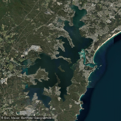
Lake Macquarie
Stony Creek
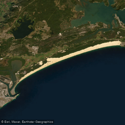
Stockton Beach
Dora Creek
Karuah River
Nobbys Beach
Wyong River
Explore New South Wales waters
Top paddling waters
No waters available right now.
Popular Cities
Loading popular cities...
Explore near Moppy River

Smarter Paddling Starts in the App.
Paddleways gives you everything you need to plan smarter, paddle better, and own every trip from first launch to takeout.