Barrington River
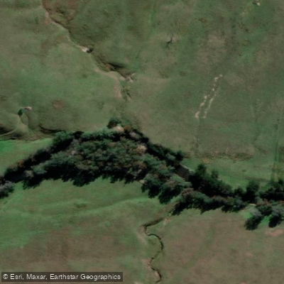
Barrington River
- Boat Ramps
- 3
- Access Points
- 0
- Campsites
- 3
The Barrington River is located in New South Wales, Australia, rising in the valley below Mount Barrington near Edwards Swamp and flowing eastwards for 93 kilometres before joining the Gloucester River at the town of Gloucester. Over that distance it descends 1,370 metres, which produces a marked contrast in character between the upper and lower sections. The upper river moves through scenic gorges and generates whitewater rapids, while the lower section transitions to calm, flowing pools as it passes through farmland. The river is generally regarded as offering reliable water levels for canoeing and kayaking.
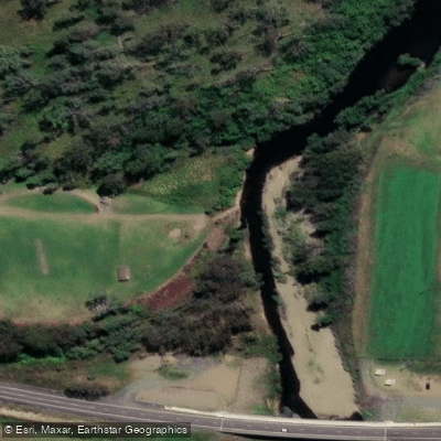
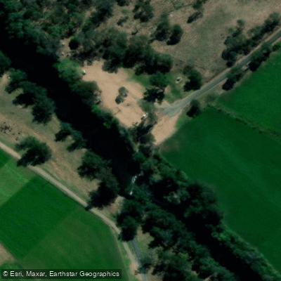
Several access points are documented for paddlers. Rawdon Vale bridge, located on Rawdon Vale Road at Rawdon Vale, is one noted put-in. Cobark serves as another launch point, with paddlers taking out at a location known as The Steps. The Bindera to Rocky Crossing section is a frequently paddled stretch, recorded at a gauge reading of 0.78 metres and rated Grade 2, with up to four rapids on that run. Rocky Crossing to the Barrington Reserve is approximately 11 kilometres and is considered suitable for beginners, offering a mix of flatwater and introductory whitewater. A campsite is available at the Barrington Reserve beside the river.
The Bindera to Rocky Crossing section carries Grade 2 rapids that can present a challenge for inexperienced paddlers. Cold water has been noted by paddlers, and at least one account describes losing a paddle in the current, which underscores the importance of carrying a spare or breakdown paddle. Water at 0.6 metres on the gauge has been described as running well for paddling.
The river flows through visually striking terrain, with gorges in the upper reaches and verdant farmland in the lower sections. The Barrington, Manning, Gloucester, and Karuah Rivers all originate on Barrington Tops, and the Barrington's crystal-clear water is a frequently noted characteristic. The broader Barrington Tops area is a significant natural region in New South Wales, and the river corridor reflects that landscape quality throughout its length.
Water access, boat ramps & amenities
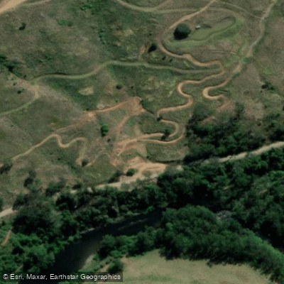
Learn how to get on Barrington River. Uncover great paddling access points, boat ramps, and all the facilities you need for an unforgettable day on the water. Some locations shown may border or include private property. Always check property boundaries and applicable regulations before visiting. PaddleWays's Public & Private Land layer can help you plan your access with confidence.
Paddle smarter with real-time insights
Whether you're en route and conditions shift or you're looking for the best spot based on current flows, we enable you to make informed decisions on the fly.








Find Places to Paddle

Over 400,000 Places to Paddle
Every user gets free access to launch points, boat ramps, and public property parcels.


Water and weather conditions (10 day forecast)
See the best times to paddle Barrington River and check the forecast before you go.
Barrington River At Bobs Crossing
All Flow Stations
Paddling near Barrington River
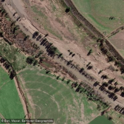
Hunter River
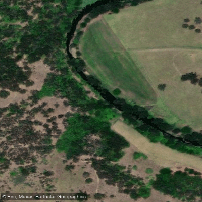
Paterson River
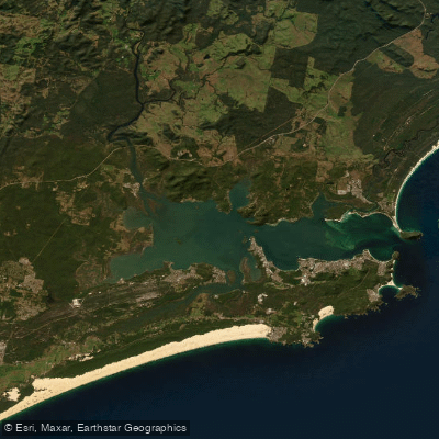
Port Stephens
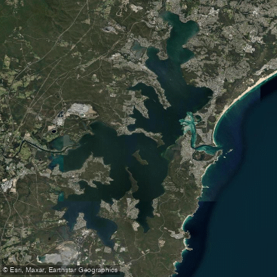
Lake Macquarie
Stony Creek
Stockton Beach
Dora Creek
Karuah River
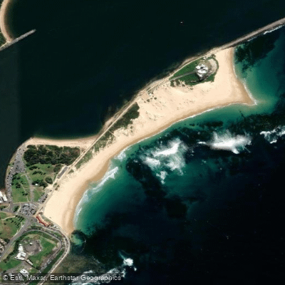
Nobbys Beach
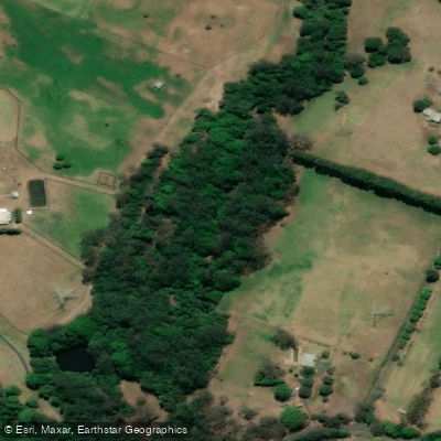
Wyong River
Explore New South Wales waters
Top paddling waters
No waters available right now.
Popular Cities
Loading popular cities...
Explore near Barrington River
Access points
Nearby waters
More in New South Wales

Smarter Paddling Starts in the App.
Paddleways gives you everything you need to plan smarter, paddle better, and own every trip from first launch to takeout.