Paddling in Baw Baw National Park
- National Park
- Lakes
- 0
- Rivers
- 22
- Access
- 0
- Boat Ramps
- 0
- Shops
- 0
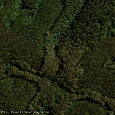
Baw Baw National Park sits on the southern edge of the Victorian Alps, about 120 km east of Melbourne. The park's rivers drain off the Baw Baw Plateau through steep, forested country before opening into the broader Gippsland catchments.
The water here is cold, clear, and moving — this is not flatwater country. The Thomson River is the centrepiece. Parks Victoria describes it as excellent for both canoeing and rafting, running Grade 3 water through the park.
Canoes can be launched at Beardmores, and commercial rafting operators run the river year-round, which tells you something about its reliability as a whitewater destination — it holds enough flow across seasons to support guided trips.
The Thomson is widely cited as one of the best whitewater runs in Victoria, and the park setting keeps the corridor largely intact.
The Tyers River and the West Branch of the Tanjil River also rise within or near the park's boundaries, feeding the same highland catchment.
Fishing the Thomson requires a recreational fishing licence — the standard Victorian requirement — and anglers should check with Parks Victoria for any conditions specific to waters inside the park boundary.
Because this is a national park, access points, camping, and what you can do on and around the water are managed by Parks Victoria rather than left to convention.
The camping area on the Aberfeldy River gives river travellers a base, though the Aberfeldy itself sits at the park's edge.
Check current conditions and any closures with Parks Victoria before you go — flows off an alpine plateau can change fast, and the park's rules are the park's to update. The Thomson earns its reputation.
If you're after moving water within reach of Melbourne, this is the run to keep coming back to.
Top waters to paddle near Baw Baw National Park
Water and weather conditions (10 day forecast)
See the best times to paddle Baw Baw National Park and check the forecast before you go.
No forecast data available.
Paddle smarter with real-time insights
Whether you're en route and conditions shift or you're looking for the best spot based on current flows, we enable you to make informed decisions on the fly.







Paddling near Baw Baw National Park
Loading...
Explore Baw Baw National Park
Top paddling waters
Popular Cities
Loading popular cities...

Smarter Paddling Starts in the App.
Paddleways gives you everything you need to plan smarter, paddle better, and own every trip from first launch to takeout.