Tanjil River West Branch
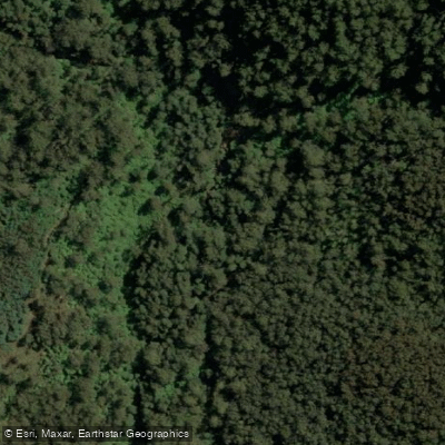
Tanjil River West Branch
- Boat Ramps
- 0
- Access Points
- 0
- Campsites
- 0
The Tanjil River West Branch is a mountain stream in the West Gippsland region of Victoria, Australia, draining the eastern slopes of Mount Toorongo and flowing from an elevation of around 677 metres near Tanjil Bren. It forms one of the two source branches of the Tanjil River, joining the East Branch below Hill End within the Great Dividing Range. The river is roughly a two-hour drive from Melbourne.
For paddlers, the upper section offers the most technically interesting whitewater. The put-in for the upper run is on Strahan Road, just above the bridge crossing on the Baw Baw Tourist Road, requiring approximately a 1-kilometre walk to reach the start of the runnable water. From there, the river features grade 1–2 gravel races and wave trains down to the bridge, where the first significant drop is encountered — rated around grade 3 at higher water and containing some strainers, though it can be portaged on the right. Continuing approximately 2 kilometres below the bridge provides the most rewarding section, with high-altitude rainforest, boulder drops, and numerous grade 3 to 3+ rapids that can push to grade 4 at higher flows. The take-out at around 4 kilometres below the bridge requires a steep climb up a mud cliff to the Baw Baw Road. Beyond this point, the river moves away from the road, transitions to flatter moving water with willows and trees, and the next accessible take-out is at Simpsons Road, a considerably greater distance downstream.
The river begins its journey with a large waterfall approximately 10 metres high, which is unrunnable. This falls can be accessed via a roughly 5-kilometre hike from Tanjil Bren.
The upper section was first descended by kayak in March 2022, with a separate first descent of a lower section recorded in July 2022. Water levels are a key consideration — the river requires sufficient rainfall to be paddleable, and the upper run is best suited to higher water conditions. The valley is notably shaded and remains cooler than surrounding streams in the area. The water is crystal clear, flowing through high-altitude rainforest with boulder-strewn channels. Some pools are described as very deep, and underwater snags are a hazard, particularly early in the season. Given the remote nature of the terrain and limited walking tracks, carrying a personal locator beacon is advisable.
Water access, boat ramps & amenities
Learn how to get on Tanjil River West Branch. Uncover great paddling access points, boat ramps, and all the facilities you need for an unforgettable day on the water. Some locations shown may border or include private property. Always check property boundaries and applicable regulations before visiting. PaddleWays's Public & Private Land layer can help you plan your access with confidence.
Paddle smarter with real-time insights
Whether you're en route and conditions shift or you're looking for the best spot based on current flows, we enable you to make informed decisions on the fly.








Find Places to Paddle

Over 400,000 Places to Paddle
Every user gets free access to launch points, boat ramps, and public property parcels.


Water and weather conditions (10 day forecast)
See the best times to paddle Tanjil River West Branch and check the forecast before you go.
Tanjil River @ Tanjil Junction
All Flow Stations
Paddling near Tanjil River West Branch
Yarra River
Maribyrnong River

Port Phillip Bay

Werribee River
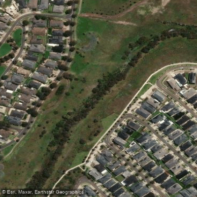
Kororoit Creek

Port Phillip
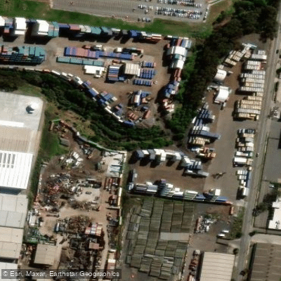
Stony Creek
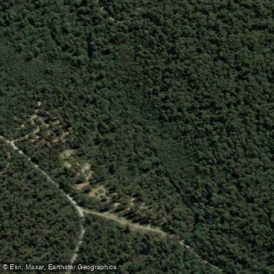
Murrindindi River
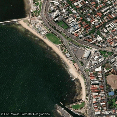
St Kilda Beach

Campaspe River
Explore Victoria waters
Top paddling waters
No waters available right now.
Popular Cities
Loading popular cities...
Explore near Tanjil River West Branch

Smarter Paddling Starts in the App.
Paddleways gives you everything you need to plan smarter, paddle better, and own every trip from first launch to takeout.