Tyers River
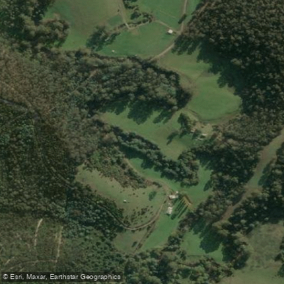
Tyers River
- Boat Ramps
- 0
- Access Points
- 0
- Campsites
- 2
The Tyers River in Victoria offers several distinct paddling sections with varying character and difficulty. The Upper West Branch above the Baw Baw South Face Road presents demanding whitewater, rated at a solid Grade 4 with the potential for harder conditions at higher water levels. The creek bed consists entirely of large granite boulders forming rock gardens and boulder drops, with individual drops typically ranging from 2 to 3 metres in height. Some boulders are large enough to produce slide-style drops with pools below, and slots between larger boulders can be tight enough to challenge boat width.
The section above the bridge is relatively clean with few strainers, but the cascades below the bridge are significantly choked with logs, and only some drops are paddleable. This section requires careful scouting. Access is either by walking up from the South Face Road or via the Christmas Creek extension track for approximately 2 kilometres before descending to the creek. This upper section needs to be paddled after snow melt and ideally following a rain event toward the end of the season.
On the Western Tyers, a canoeable run exists from Growlers — possibly from Christmas Creek — downstream to the old bridge at Western Tyers. A notable Grade 4 chute and drop sits just below Growlers where an old rail line diverged from the road; this feature can be portaged. Paddlers should be aware that access via the gate on Beynon's Creek Road leads onto private property and must not be used.
Further downstream near Moondarra, a canoe can be launched from the Wirilda Track at the W3 road and paddled down to the old Morwell pumping station at Wirilda Park, though this section involves some difficulty. The river corridor in this area passes impressive cliffs below Peterson's Lookout and supports notable birdlife and wildlife along its banks.
Water access, boat ramps & amenities
Learn how to get on Tyers River. Uncover great paddling access points, boat ramps, and all the facilities you need for an unforgettable day on the water. Some locations shown may border or include private property. Always check property boundaries and applicable regulations before visiting. PaddleWays's Public & Private Land layer can help you plan your access with confidence.
Paddle smarter with real-time insights
Whether you're en route and conditions shift or you're looking for the best spot based on current flows, we enable you to make informed decisions on the fly.








Find Places to Paddle

Over 400,000 Places to Paddle
Every user gets free access to launch points, boat ramps, and public property parcels.


Water and weather conditions (10 day forecast)
See the best times to paddle Tyers River and check the forecast before you go.
Tyers River @ Browns
All Flow Stations
Paddling near Tyers River
Yarra River
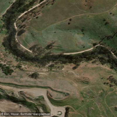
Maribyrnong River

Port Phillip Bay

Werribee River
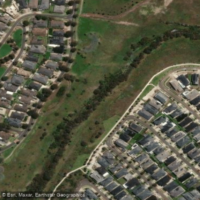
Kororoit Creek

Port Phillip
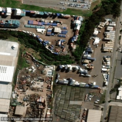
Stony Creek
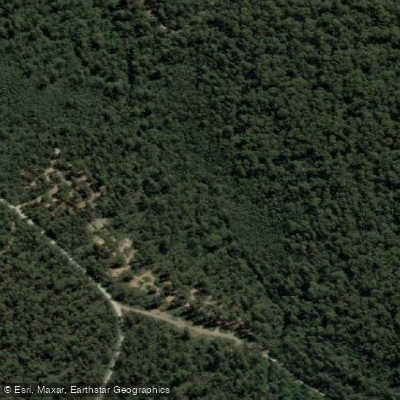
Murrindindi River
St Kilda Beach

Campaspe River
Explore Victoria waters
Top paddling waters
No waters available right now.
Popular Cities
Loading popular cities...
Explore near Tyers River

Smarter Paddling Starts in the App.
Paddleways gives you everything you need to plan smarter, paddle better, and own every trip from first launch to takeout.