Thomson River
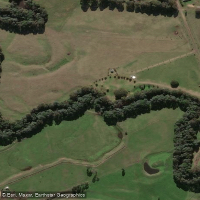
Thomson River
- Boat Ramps
- 0
- Access Points
- 0
- Campsites
- 6
The Thomson River rises below Newlands at the north-western end of the Baw Baw Plateau in Victoria's Great Dividing Range, descending 970 metres over its 170-kilometre course before joining the Latrobe River near Sale. The river flows through a deep valley, passing through Baw Baw National Park and the Walhalla Historic Area, and is impounded not far below its source by the Thomson Dam, which creates the Thomson Reservoir. The river's natural flow is significantly reduced by the dam, which supplies approximately 30% of Melbourne's water needs.
Two distinct paddling sections are commonly run. The Thomson River Canoe Trail, managed through Parks Victoria, runs from the Thomson Dam to the Walhalla Road Bridge near Rawson and features Grade 2 rapids suited to first-time paddlers and rafters. A longer section runs from Walhalla Bridge to Cowwarr Weir, covering approximately 45 kilometres and typically taking two to three days, though it can be completed in a single long day of around six hours. Much of this lower section is flat or moving water, punctuated by Grade 1+ and Grade 2 rapids, with the "Triple Stager" near the end rated Grade 2+ to Grade 3. Additional notable features include the S-bend, the gauge rapid, and the Hole in the Wall, which can reach Grade 3 at higher water levels. "The Chute," a narrow cut less than six feet wide, demands precise alignment and is rated Grade 3.
River level should be above 0.65 metres at the Cooper gauge for a runnable trip, with 0.8 metres and above considered preferable. The river is dam-released, with environmental flows delivered twice yearly — at the end of April and mid-November — which are the most reliable times for adequate water levels. The river can also be runnable during heavy winter rainfall.
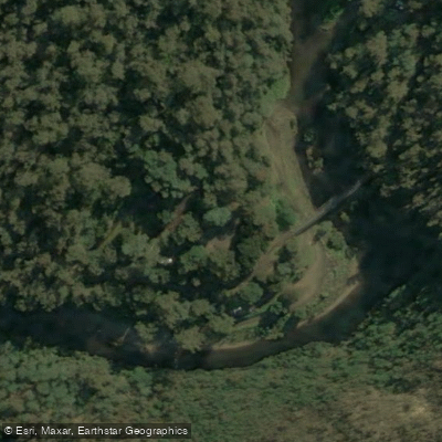
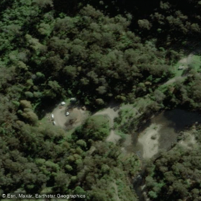
Access to put-in and take-out points is largely via dirt roads, and 4WD is recommended for several camping areas including Coopers Creek and Brunton's Bridge. The Cowwarr-Walhalla Road can be very slippery when wet, making 4WD preferable. A 9-kilometre section from Coopers Creek to Brunton's Bridge winds through forest scenery and takes approximately three hours. Camping is available at Coopers Creek, Brunton's Bridge, and Thomson Station. Dogs are not permitted on the Parks Victoria-managed canoe trail. Paddlers are advised to have substantial experience with Grade 2 rapids or travel with an experienced guide, and to plan emergency extraction options before entering the river.
Water access, boat ramps & amenities
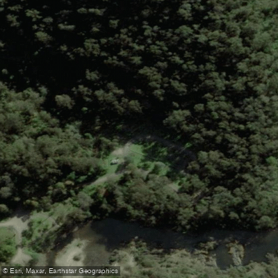
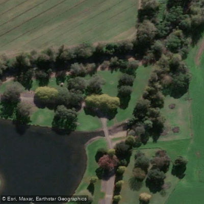
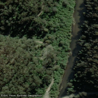
Learn how to get on Thomson River. Uncover great paddling access points, boat ramps, and all the facilities you need for an unforgettable day on the water. Some locations shown may border or include private property. Always check property boundaries and applicable regulations before visiting. PaddleWays's Public & Private Land layer can help you plan your access with confidence.
Paddle smarter with real-time insights
Whether you're en route and conditions shift or you're looking for the best spot based on current flows, we enable you to make informed decisions on the fly.








Find Places to Paddle

Over 400,000 Places to Paddle
Every user gets free access to launch points, boat ramps, and public property parcels.


Water and weather conditions (10 day forecast)
See the best times to paddle Thomson River and check the forecast before you go.
Thomson River Downstream Of Thomson Dam
All Flow Stations
Paddling near Thomson River
Yarra River
Maribyrnong River

Port Phillip Bay

Werribee River
Kororoit Creek

Port Phillip
Stony Creek
Murrindindi River
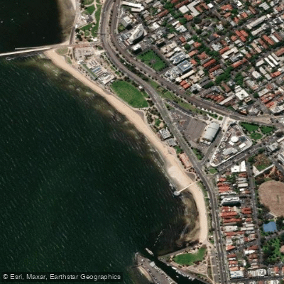
St Kilda Beach

Campaspe River
Explore Victoria waters
Top paddling waters
No waters available right now.
Popular Cities
Loading popular cities...
Explore near Thomson River
Access points
Nearby waters
More in Victoria

Smarter Paddling Starts in the App.
Paddleways gives you everything you need to plan smarter, paddle better, and own every trip from first launch to takeout.