Paddling in Bundjalung National Park
- National Park
- Lakes
- 1
- Rivers
- 9
- Access
- 0
- Boat Ramps
- 1
- Shops
- 0
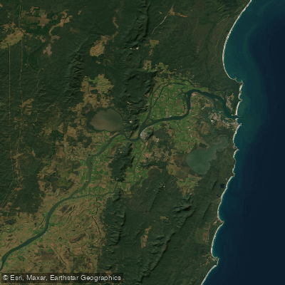
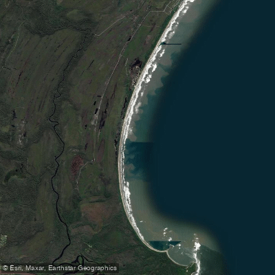
Bundjalung National Park sits on the New South Wales north coast, where rivers push through coastal rainforest, mangroves, and heathland before meeting the sea.
The paddling here is flatwater — tidal estuaries and sheltered inland waterways — shaped by tannin-stained currents and the rhythm of the tides rather than gradient or flow rate. The Evans River anchors the northern end of the park.
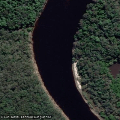
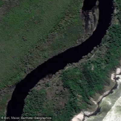
The established paddle route runs 8 km one-way from Gummigurrah picnic area upstream, rated medium, and takes around three hours. The water is brown with tannins from tea trees and minerals from mangrove mud — murky but clean.
Tides govern what's possible: sections that are navigable at high water can be dry a few hours later, so timing your launch matters. The park entry fee applies, and you should check conditions before heading out, as the river can flood quickly after rain.
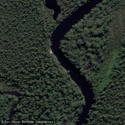
The Esk River defines the southern section of the park. Described as the longest unspoilt natural coastal river system on the north coast, it launches from Bill Weiley Bridge and runs upstream past mangroves, heathland, and old-growth dry sclerophyll forest.
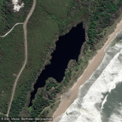
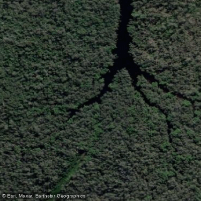
Rock formations appear along the banks. Downstream, closer to the Clarence River entrance, the character shifts toward more open estuary water. Jerusalem Creek is a calmer option — quieter, birdwatching-focused, and suited to canoe or kayak on still water.
Across all these waterways, the paddling rewards patience. Koalas sleep in tallowwood and swamp mahogany overhead. Pied oystercatchers and eastern whipbirds work the banks. At dawn and dusk, wallabies come down to feed at the water's edge.
This is a park where the wildlife encounter is the trip, not a bonus — and moving quietly on the water is the best way to earn it.
Top waters to paddle near Bundjalung National Park
Water and weather conditions (10 day forecast)
See the best times to paddle Bundjalung National Park and check the forecast before you go.
No forecast data available.
Paddle smarter with real-time insights
Whether you're en route and conditions shift or you're looking for the best spot based on current flows, we enable you to make informed decisions on the fly.







Paddling near Bundjalung National Park
Loading...
Gateway towns
Where to base yourself for paddling in Bundjalung National Park.
- Evans HeadNew South Wales
Northern gateway town with direct park access via Evans Head township for canoeing the Evans River and beach entry.
- IlukaNew South Wales
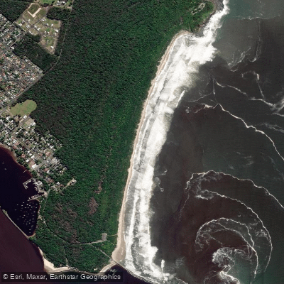
Southern gateway at the Iluka Peninsula end of the park, with access to Woody Head campground, cabins, and coastal walks.
- WoodburnNew South Wales
Inland access point with a visitor information centre and Gap Road entry leading to Black Rocks Campground and Jerusalem Creek.
Explore Bundjalung National Park
Top paddling waters
Popular Cities
Loading popular cities...

Smarter Paddling Starts in the App.
Paddleways gives you everything you need to plan smarter, paddle better, and own every trip from first launch to takeout.