Evans River
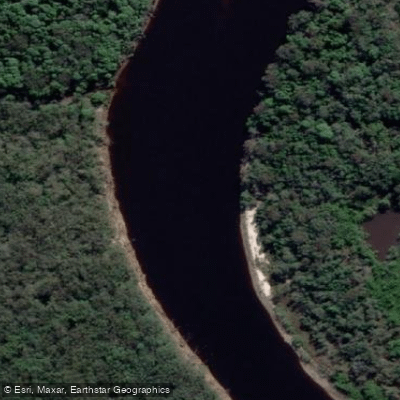
Evans River
- Boat Ramps
- 1
- Access Points
- 1
- Campsites
- 0
The Evans River flows between the Coral Sea at Evans Head and Tuckombil Canal at Woodburn on the NSW North Coast, running through the northern tip of Bundjalung National Park. The river is a tidal estuary, ebbing and flowing with the ocean, and its water carries a characteristic murky brown colour from tannins leached by nearby tea trees and minerals from mangrove mud — a natural quality rather than a sign of pollution.
The most established paddle route begins at the Gummigurrah picnic area, where paddlers head upstream through a landscape of river islands, mangroves, rainforest, heathland, and coastal banksia. The return distance from Evans Head is approximately 23 kilometres, typically taking around 4.5 hours. The route passes through two national parks, offering a sustained immersion in coastal wilderness.
Wildlife is a prominent feature of the experience. Birdwatchers may encounter eastern whipbirds, the rare barred cuckoo-shrike, white-faced herons, and pied oystercatchers. At dawn and dusk, eastern grey kangaroos, red-necked wallabies, and swamp wallabies are commonly seen feeding along the banks, and koalas have been spotted resting in the tree canopy. One guided tour operator, Evans River Kayak Adventures, has historically offered tours on this river system.
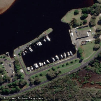
In the Evans Head township itself, two boat ramps are located at the southern end of the river on Elm Street, along with fish cleaning facilities, pontoon moorings, and nearby barbecue facilities. A walking track also runs along the riverbank. The area actively caters for people with access needs, including those who use wheelchairs or have hearing loss.
Paddlers should be aware that crocodiles have been reported in the river, particularly in the mangrove creek sections. This is an important safety consideration and warrants caution about entering the water. The river is tidal, so paddlers should factor tidal conditions into trip planning, particularly when timing upstream or downstream travel.
Water access, boat ramps & amenities
Learn how to get on Evans River. Uncover great paddling access points, boat ramps, and all the facilities you need for an unforgettable day on the water. Some locations shown may border or include private property. Always check property boundaries and applicable regulations before visiting. PaddleWays's Public & Private Land layer can help you plan your access with confidence.
Paddle smarter with real-time insights
Whether you're en route and conditions shift or you're looking for the best spot based on current flows, we enable you to make informed decisions on the fly.








Find Places to Paddle

Over 400,000 Places to Paddle
Every user gets free access to launch points, boat ramps, and public property parcels.


Water and weather conditions (10 day forecast)
See the best times to paddle Evans River and check the forecast before you go.
No forecast data available.
Paddling near Evans River
Nerang River
Mudgeeraba Creek
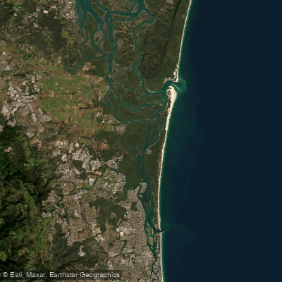
Southern Moreton Bay
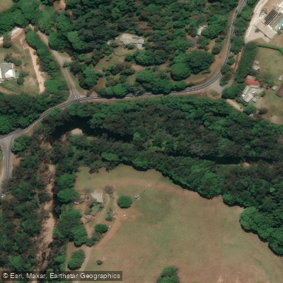
Tallebudgera Creek
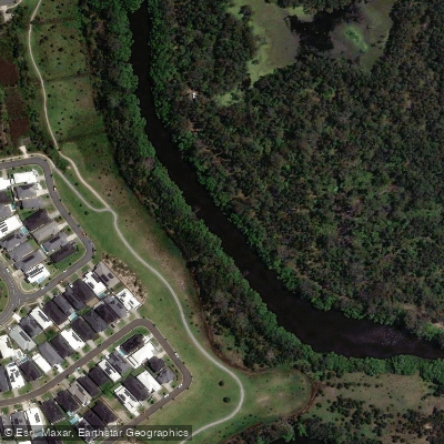
Coombabah Creek

Moreton Bay
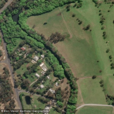
Coomera River
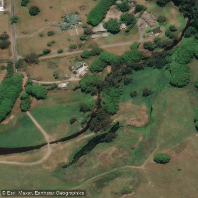
Currumbin Creek
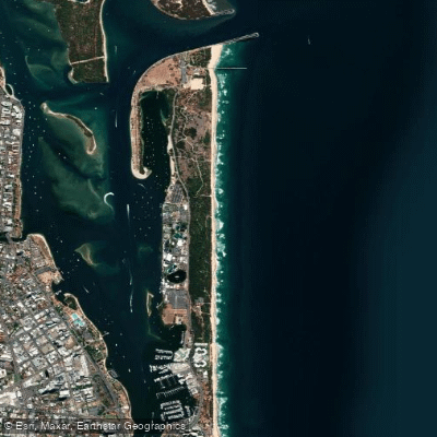
The Spit Beach
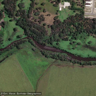
Pimpama River
Explore New South Wales waters
Top paddling waters
No waters available right now.
Popular Cities
Loading popular cities...
Explore near Evans River

Smarter Paddling Starts in the App.
Paddleways gives you everything you need to plan smarter, paddle better, and own every trip from first launch to takeout.