Paddling in Garig Gunak Barlu National Park
- National Park
- Lakes
- 0
- Rivers
- 6
- Access
- 0
- Boat Ramps
- 0
- Shops
- 0
The name says it plainly: *gunak* means land, *barlu* means deep water.
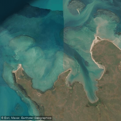
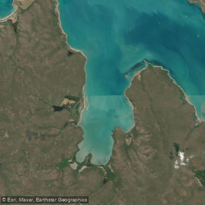
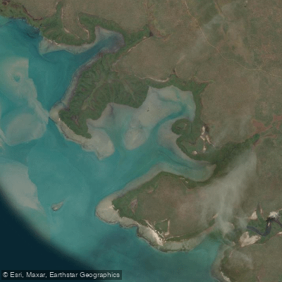
Garig Gunak Barlu sits at the tip of the Cobourg Peninsula in the Northern Territory, where the Arafura Sea presses in on three sides and tidal creeks cut through coastal country that remains genuinely remote.
The water here is marine and estuarine — not rivers in any whitewater sense, but a coastline and creek system shaped by tides that run to seven metres at the nearby East Alligator River crossing.
The park is jointly managed by the Parks and Wildlife Commission of the Northern Territory and the Iwaidja traditional owners, and that joint authority shapes how you get in and what you can do.
A permit is required to enter — check with the park for current requirements before planning any trip. The road in begins at Cahills Crossing over the East Alligator River, roughly 300 kilometres of travel from that point.
In the wet season the crossing becomes a swollen torrent; in the dry, the seven-metre tidal swing makes the concrete causeway impassable until the river ebbs. Timing your arrival around the tide is not optional.
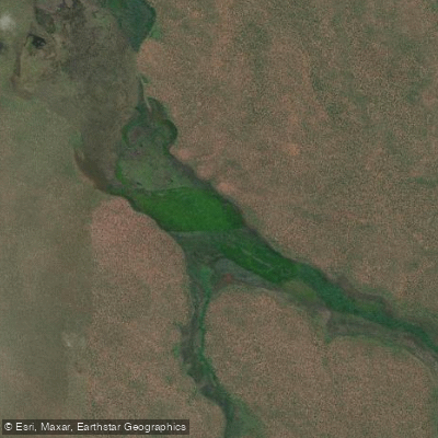
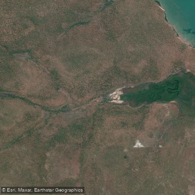
Waters inside the park include the King River and Caiman Creek (known locally as Unarn), both set within a landscape where saltwater crocodiles are present throughout.
That is not a footnote — it is a primary factor in every decision about where and how you paddle here.
Fishing and boating are among the recognised activities in the park; check with park management for any specific conditions that apply to vessels on park waters. This is not a place to improvise.
The remoteness, the tides, the crocodiles, and the permit system all demand that you plan carefully and communicate your intentions before launching. The reward is water that very few paddlers ever reach.
Top waters to paddle near Garig Gunak Barlu National Park
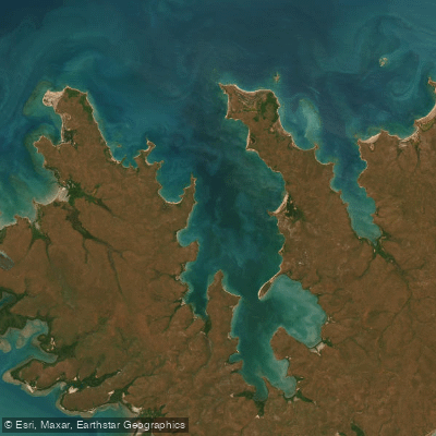
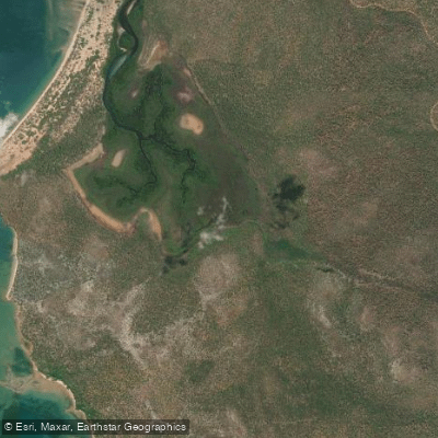
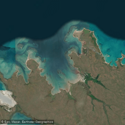
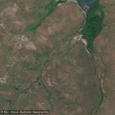
Water and weather conditions (10 day forecast)
See the best times to paddle Garig Gunak Barlu National Park and check the forecast before you go.
No forecast data available.
Paddle smarter with real-time insights
Whether you're en route and conditions shift or you're looking for the best spot based on current flows, we enable you to make informed decisions on the fly.







Paddling near Garig Gunak Barlu National Park
Loading...
Gateway towns
Where to base yourself for paddling in Garig Gunak Barlu National Park.
- DarwinNorthern Territory
Main departure point for fly-in fishing safaris, guided tours, and permit arrangements before entering the park.
- GunbalanyaNorthern Territory
Last town on the overland route through Arnhem Land before Cahills Crossing, the road gateway to the park.
- JabiruNorthern Territory
Nearest town with services for visitors driving through Kakadu before continuing on to the park via Arnhem Land.
Explore Garig Gunak Barlu National Park
Top paddling waters
Popular Cities
Loading popular cities...

Smarter Paddling Starts in the App.
Paddleways gives you everything you need to plan smarter, paddle better, and own every trip from first launch to takeout.