Paddling in Garigal National Park
- National Park
- Lakes
- 1
- Rivers
- 12
- Access
- 0
- Boat Ramps
- 1
- Shops
- 0
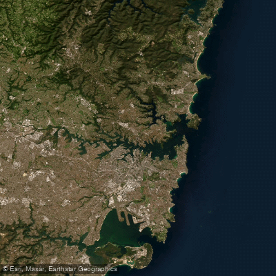
Garigal National Park sits on Sydney's northern fringe, where sandstone bushland drops into the tidal reaches of Middle Harbour. The water here is estuarine and sheltered — not whitewater, not open ocean — and the paddling reflects that.
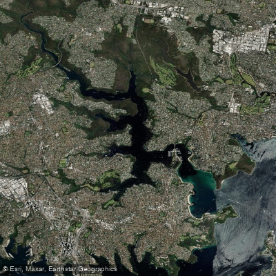
This is sea kayak and canoe country, defined by tidal creeks, mangrove edges, and bushland shorelines that feel remote despite being a short drive from the CBD. Middle Harbour is the park's main waterway, and it anchors everything.
Paddling its upper reaches means trading the busier harbour traffic near the Spit Bridge for quieter water as the shoreline shifts from suburban to national park bush.
Sugarloaf Bay and Bantry Bay are the bays most associated with paddling inside the park boundary — sheltered enough for beginners, interesting enough for experienced paddlers reading tides and watching for wildlife along the mangrove margins.
Scotts Creek is another route that comes into play depending on conditions on the day. Middle Harbour Creek runs through the park's interior and is specifically noted for boating, canoeing, and fishing.
It's calmer and more enclosed than the main harbour reaches, the kind of water where you're moving slowly and paying attention to what's around you rather than covering distance. Tides matter here.
Routes through the shallower bays and creek mouths open and close with the water, and paddlers who don't account for that will find themselves dragging boats across mud.
The standard put-in for guided trips is the Spit Bridge at Mosman, which also works well for independent paddlers launching into Middle Harbour.
Garigal is a NSW national park, which means the rules that apply across the NSW national parks estate apply here — check with NSW National Parks and Wildlife Service for current conditions, any access restrictions, and what's required before you launch.
The park doesn't ask you to hurry. The paddling is quiet, tidal, and close to a major city in a way that still feels like genuine bush. Bring a tide chart.
Water and weather conditions (10 day forecast)
See the best times to paddle Garigal National Park and check the forecast before you go.
No forecast data available.
Paddle smarter with real-time insights
Whether you're en route and conditions shift or you're looking for the best spot based on current flows, we enable you to make informed decisions on the fly.







Paddling near Garigal National Park
Loading...
Gateway towns
Where to base yourself for paddling in Garigal National Park.
- DavidsonNew South Wales
Suburb at the park's eastern edge where the Cascades Track exits and several trailheads begin.
- St IvesNew South Wales
Northern entry point with bus access to the Acron Road trailhead for the Cascades and surrounding tracks.
- ChatswoodNew South Wales
Nearest town with a concentration of lodging options for visitors exploring the park's southern sections.
Explore Garigal National Park
Top paddling waters
Popular Cities
Loading popular cities...

Smarter Paddling Starts in the App.
Paddleways gives you everything you need to plan smarter, paddle better, and own every trip from first launch to takeout.