Middle Harbour Creek
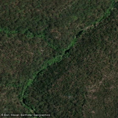
Middle Harbour Creek
- Boat Ramps
- 0
- Access Points
- 0
- Campsites
- 0
Middle Harbour Creek is a youthful, tide-dominated drowned-valley estuary located north-west of Sydney Harbour in New South Wales, Australia. It flows through Garigal National Park, transitioning from tidal Middle Harbour at Bungaroo upstream into the creek proper, with its source near Mona Vale Road at St Ives. The creek and its tributaries — including Rockey, Carroll, Moores, and Gordon Creeks — offer roughly 12 kilometres of paddling in and out of side channels, each ending differently at a tidal limit, impassable rocks, or a fallen log.
The primary launch point for exploring the creek is Davidson Park, which sits within Garigal National Park and has two dedicated kayak and canoe ramps — one near the boat ramp parking area and another at the western end of the picnic grounds. National Park entry fees apply at Davidson Park. A second common starting point is The Spit at Mosman, from which paddlers can travel upstream through Middle Harbour proper before reaching the creek. The Roseville Bridge marks a practical transition point; the creek extends beyond it with an 11-metre height clearance. Kayaks can reach the Stepping Stones area at high tide.
The water is flat and calm throughout most of the creek's length, rated as sheltered flat water with minimal currents — suitable for beginners. The surrounding slopes are vegetated with angophoras, blackbutts, banksias, she-oaks, bloodwoods, scribbly gums, and narrow-leaved stringy bark. Wildlife includes herons, cormorants, sea eagles, moon jellies, and saltwater fish, with occasional dolphins and seals reported in the broader Middle Harbour area. Bantry Bay is another noted side destination accessible from Davidson Park, featuring mangroves, a wharf, a picnic area, and a historic ammunition storage site.
Water quality is noted as less than ideal for swimming, particularly after rainfall, though this does not appear to affect paddling access. The creek's aesthetic character is defined by flat, reflective green water enclosed by eucalyptus-covered hillsides, with the surrounding national park providing a strong sense of isolation despite proximity to suburban Sydney. The area carries historical significance as the site of Governor Arthur Phillip's first exploration on 15 April 1788, and the Cammeraygal people paddled these waters in bark canoes long before European arrival. Aboriginal rock carvings are present in the area.
Water access, boat ramps & amenities
Learn how to get on Middle Harbour Creek. Uncover great paddling access points, boat ramps, and all the facilities you need for an unforgettable day on the water. Some locations shown may border or include private property. Always check property boundaries and applicable regulations before visiting. PaddleWays's Public & Private Land layer can help you plan your access with confidence.
Paddle smarter with real-time insights
Whether you're en route and conditions shift or you're looking for the best spot based on current flows, we enable you to make informed decisions on the fly.








Find Places to Paddle

Over 400,000 Places to Paddle
Every user gets free access to launch points, boat ramps, and public property parcels.


Water and weather conditions (10 day forecast)
See the best times to paddle Middle Harbour Creek and check the forecast before you go.
No forecast data available.
Paddling near Middle Harbour Creek
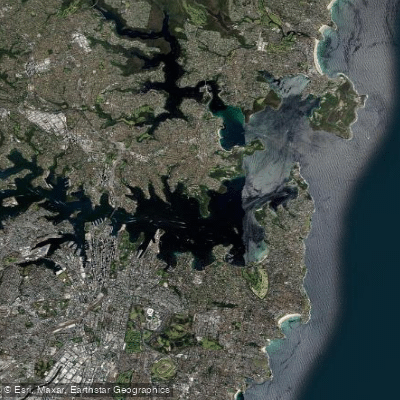
Sydney
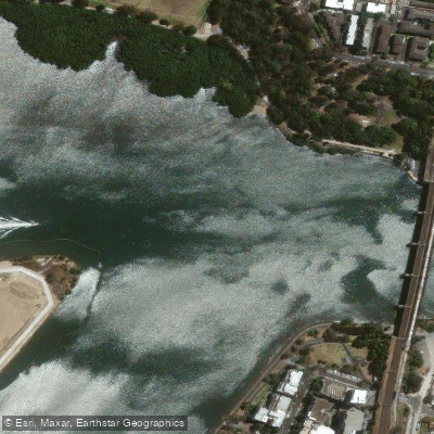
Parramatta River
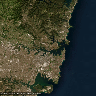
Port Jackson
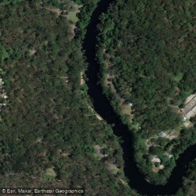
Lane Cove River
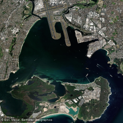
Botany
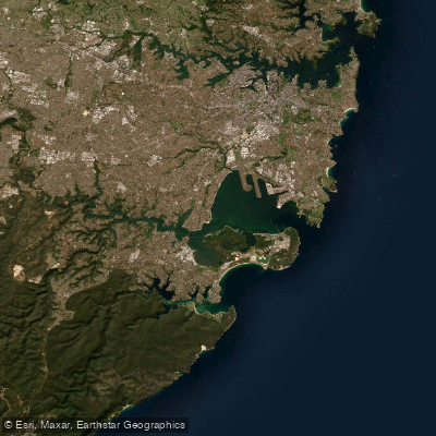
Botany Bay
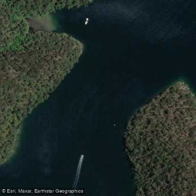
Cowan Creek

Georges River
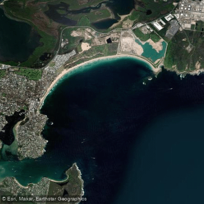
Bate Bay
Woronora River
Explore New South Wales waters
Top paddling waters
No waters available right now.
Popular Cities
Loading popular cities...
Explore near Middle Harbour Creek
Nearby waters
More in New South Wales

Smarter Paddling Starts in the App.
Paddleways gives you everything you need to plan smarter, paddle better, and own every trip from first launch to takeout.