Narrabeen Lagoon
- Saltwater
- Estuary
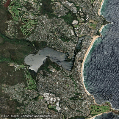
Narrabeen Lagoon
- Saltwater
- Estuary
- Sq. miles
- 1.7
- Boat Ramps
- 0
- Access Points
- 0
- Campsites
- 0
Narrabeen Lagoon is a coastal saltwater lagoon, or estuary, located within the Northern Beaches Council area. It is a popular destination for paddle sports including kayaking, canoeing, and stand-up paddleboarding. The lagoon is surrounded by a densely populated area but offers a sense of wilderness and tranquility, particularly on weekdays or during early mornings and sunsets, as it can become crowded on weekends. The flat, 8-kilometer walking trail that encircles the lagoon provides context for the water body's scale and accessibility from shore. Primary access points for launching non-powered craft include the boat ramps at Jamieson Park on The Esplanade in Narrabeen, Bilarong Reserve on Wakehurst Parkway in North Narrabeen, and Middle Creek Reserve on Wakehurst Parkway in Cromer. The concrete ramp at Jamieson Park is a noted hub for aquatic activities and the home of the Narrabeen Lakes Sailing Club, indicating shared use with sailboats. Paddlers should be aware of significant paid parking fees at official car parks, which can range from eight to ten dollars per hour up to a daily maximum. The lagoon's environment features parkland, woodland areas, and boardwalks along its shores. Wildlife such as native water birds are present in the catchment. The water quality is monitored for enterococci, a human health indicator, at the lagoon entrance. The presence of a sailing club suggests conditions suitable for wind-powered craft. The overall paddling experience is peaceful and ideal for exploration, with sunrise and sunset being particularly scenic times to be on the water.
Water access, boat ramps & amenities
Learn how to get on Narrabeen Lagoon. Uncover great paddling access points, boat ramps, and all the facilities you need for an unforgettable day on the water. Some locations shown may border or include private property. Always check property boundaries and applicable regulations before visiting. PaddleWays's Public & Private Land layer can help you plan your access with confidence.
Paddle smarter with real-time insights
Whether you're en route and conditions shift or you're looking for the best spot based on current flows, we enable you to make informed decisions on the fly.








Find Places to Paddle

Over 400,000 Places to Paddle
Every user gets free access to launch points, boat ramps, and public property parcels.


Tides, wind & water conditions (10 day forecast)
On open water, wind and tide matter as much as the weather. See the best times to paddle Narrabeen Lagoon and check the marine forecast before you launch.
Loading tide predictions…
Paddling near Narrabeen Lagoon
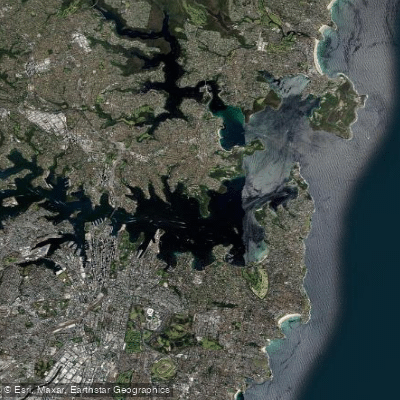
Sydney
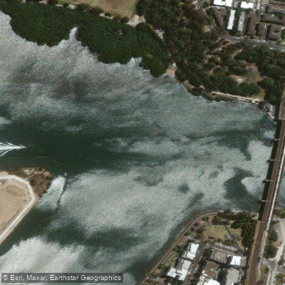
Parramatta River
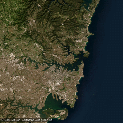
Port Jackson
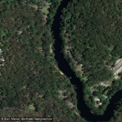
Lane Cove River
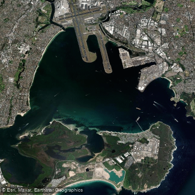
Botany
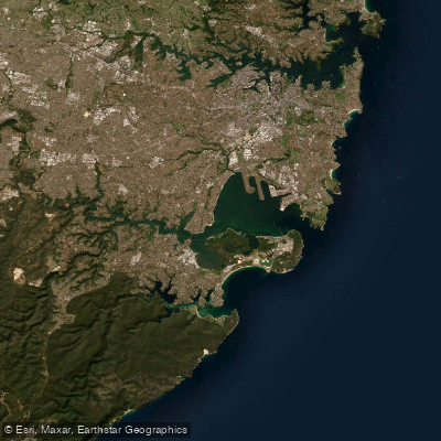
Botany Bay
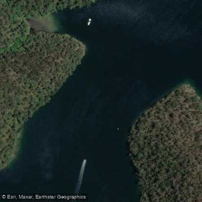
Cowan Creek

Georges River
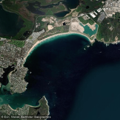
Bate Bay
Woronora River
Explore New South Wales waters
Top paddling waters
No waters available right now.
Popular Cities
Loading popular cities...
Explore near Narrabeen Lagoon
Nearby waters
More in New South Wales

Smarter Paddling Starts in the App.
Paddleways gives you everything you need to plan smarter, paddle better, and own every trip from first launch to takeout.