Paddling in Great Otway National Park
- National Park
- Lakes
- 4
- Rivers
- 73
- Access
- 0
- Boat Ramps
- 1
- Shops
- 0
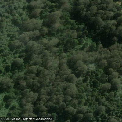
Great Otway National Park stretches along Victoria's southwest coast from Torquay to Princetown, with the Otway Ranges rising inland behind it.
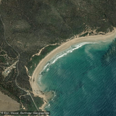
The paddling here is shaped by that geography: short, rain-fed coastal rivers dropping through dense rainforest and farmland to the Southern Ocean, and one quiet lake tucked into the ranges.
The water is generally intimate in scale, with character that shifts sharply between seasons. The Aire River is the most documented paddle in the park.
The route from Aire River West Campground to the Great Ocean Road puts canoes, kayaks, and paddleboards on a river that winds through the park toward the coast.
Access at the campground makes it a practical put-in, and the Great Ocean Road crossing provides a clear take-out. Like most rivers in the Otways, the Aire runs best after winter and spring rainfall.
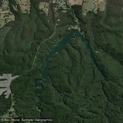
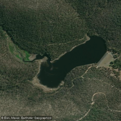
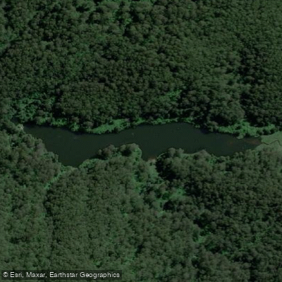
Lake Elizabeth, set within the ranges, is a different experience entirely. Canoe tours operate here at dawn and dusk — the hours when platypus are active on the water. The lake is reached by a 1 km walk through tree ferns and tall eucalypt forest.
Otway Eco Tours, licensed by Parks Victoria, has been running guided canoe trips here for 25 years. This is not a self-guided put-in-and-go destination; the guided format is the established way to paddle it.
The Anglesea River, Gellibrand River, Skenes Creek, and other smaller drainages like Stony Creek and Running Creek also fall within or near the park boundary, fed by the same wet ranges.
The Otways are one of the wettest parts of Victoria, and that rainfall is what keeps these rivers moving — but it also means levels can rise quickly and drop just as fast.
Paddling inside a Victorian national park means operating under Parks Victoria's jurisdiction. Check current conditions and any access requirements with Parks Victoria before launching, as rules can change and some areas may have restrictions in place.
The Otways reward paddlers who pay attention to the rain gauge. Come in the dry and you may be dragging; come after a good winter soaking and these rivers move with real purpose through country that few people see from the water.

Water and weather conditions (10 day forecast)
See the best times to paddle Great Otway National Park and check the forecast before you go.
No forecast data available.
Paddle smarter with real-time insights
Whether you're en route and conditions shift or you're looking for the best spot based on current flows, we enable you to make informed decisions on the fly.







Paddling near Great Otway National Park
Loading...
Gateway towns
Where to base yourself for paddling in Great Otway National Park.
- Apollo BayVictoria
Main base for the Great Ocean Walk and coastal park access, with lodging, cafes, and tour operators.
- LorneVictoria
Eastern gateway with accommodation and services near Erskine Falls and coastal park trails.
- TorquayVictoria
Northern entry point to the park corridor along the Great Ocean Road, with lodging and surf amenities.
- Lavers HillVictoria
Inland hub for the hinterland section of the park, close to Melba Gully and Hopetoun Falls.
- Aireys InletVictoria
Small coastal town on the park's eastern edge with accommodation and beach access.
Explore Great Otway National Park
Top paddling waters
Popular Cities
Loading popular cities...

Smarter Paddling Starts in the App.
Paddleways gives you everything you need to plan smarter, paddle better, and own every trip from first launch to takeout.