Urquhart Bluff
- Saltwater
- Beach
Urquhart Bluff
- Saltwater
- Beach
- Sq. miles
- 0.6
- Boat Ramps
- 0
- Access Points
- 0
- Campsites
- 0
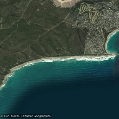
Urquhart Bluff is a coastal beach launch site on the Great Ocean Road, just east of Aireys Inlet on Victoria's Surf Coast. The primary access is a car park located off the Great Ocean Road, with a signposted turn approximately 750 meters past the Urquhart Bluff Lookout. From this car park, paddlers reach the water via a beach access ramp and a short walk down the bluff. The beach access ramp is steep and slick, and the car park surface is pebbly and uneven, which can complicate the carry of watercraft. The beach itself is a 200-meter stretch of golden sand directly below the bluff, fronting the vast Southern Ocean. The coastline here features eroding bluffs ranging from 20 to 50 meters in height, limestone cliffs, rugged reefs, and rocky outcrops. The area exudes a wild, low-key atmosphere and is part of an untouched and pristine coastline.
The launch is from an exposed beach facing the open ocean, making it susceptible to swells and winds. The surf is a straight beach break with waves that can reach up to 1.3 meters, creating punchy, hollow peaks. Strong rips are consistently present against the reef and headland, making this a hazardous location for swimming and requiring significant paddling skill for launch and landing through the surf zone. The beach and surf zone are widest at low tide, which also allows for exploration of rockpools and marine life on the reef. High tide reduces the available sand. The best conditions for paddlers seeking calmer water are likely during periods of minimal swell, particularly in the summer months when average wave heights drop to around 0.8 meters. The water is cold year-round, with temperatures ranging from 12-13°C in winter to 17-18°C in summer, necessitating appropriate thermal protection.
From this launch, paddlers can explore a series of secluded coves and beaches to the southwest, accessible by paddling around headlands and past bright-coloured clay cliffs. Notable nearby destinations include Sunnymead Beach and Step Beach, with views of Split Point Lighthouse and Eagle Rock. The area is part of the Surf Coast Walk, and the clifftop views are a notable feature. There are no facilities at the beach itself. The site is also a designated zone for personal watercraft (PWC), indicating shared use of the launch area.
Water access, boat ramps & amenities
Learn how to get on Urquhart Bluff. Uncover great paddling access points, boat ramps, and all the facilities you need for an unforgettable day on the water. Some locations shown may border or include private property. Always check property boundaries and applicable regulations before visiting. PaddleWays's Public & Private Land layer can help you plan your access with confidence.
Paddle smarter with real-time insights
Whether you're en route and conditions shift or you're looking for the best spot based on current flows, we enable you to make informed decisions on the fly.








Find Places to Paddle

Over 400,000 Places to Paddle
Every user gets free access to launch points, boat ramps, and public property parcels.


Tides, wind & water conditions (10 day forecast)
On open water, wind and tide matter as much as the weather. See the best times to paddle Urquhart Bluff and check the marine forecast before you launch.
Loading tide predictions…
Paddling near Urquhart Bluff
Barwon River
Moorabool River

Port Phillip Bay
Leigh River

Werribee River

Port Phillip
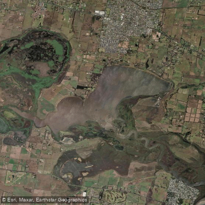
Lake Connewarre
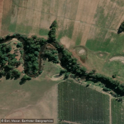
Yarra River
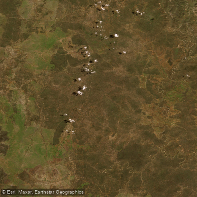
Thompson Creek
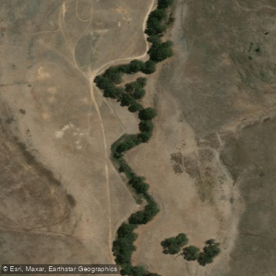
Woady Yaloak River
Explore Victoria waters
Top paddling waters
No waters available right now.
Popular Cities
Loading popular cities...
Explore near Urquhart Bluff

Smarter Paddling Starts in the App.
Paddleways gives you everything you need to plan smarter, paddle better, and own every trip from first launch to takeout.