Paddling in Murray-Sunset National Park
- National Park
- Lakes
- 19
- Rivers
- 10
- Access
- 0
- Boat Ramps
- 1
- Shops
- 0
Murray-Sunset sits in the far northwest corner of Victoria, where the Murray River forms the state's boundary with New South Wales and the surrounding landscape flattens into mallee scrub and floodplain.
The water here is slow, seasonal, and shaped by flood — not gradient. This is canoe and kayak country, not whitewater country, and the paddling is inseparable from the ecology of the floodplain islands and creek systems that thread through the park.
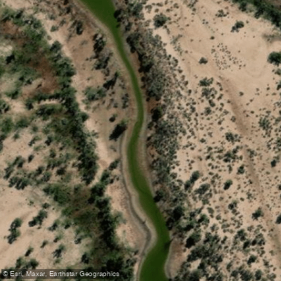
The main paddling ground is the network of floodplain islands formed by the Murray and its distributaries — Walpolla, Lindsay, and Mulcra Islands are the anchors.
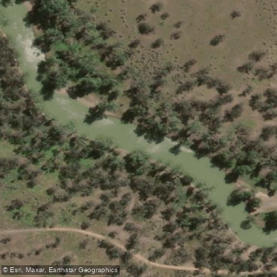
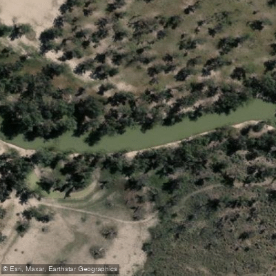
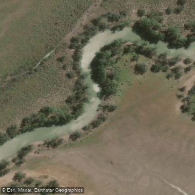
Mullaroo Creek runs through this country and is the most directly named paddling route in the park, a quiet creek passage through the mallee and river red gum fringe that characterises the northwest Victoria floodplain.
The character of these waters changes with the river: after rain and when the Murray is running, the creeks and channels fill and the islands become genuinely navigable by canoe. In dry conditions, access tightens considerably.
The paddling here is expedition-minded by nature. The park is remote — Mildura is the nearest service town — and the floodplain channels are not day-trip infrastructure.
Multi-day canoe trips are the format that fits the country, moving through a landscape where the nearest road may be well back from the water.
Parks Victoria manages the area, and anyone planning overnight travel should check current access conditions and any permit requirements with the park directly before launching. What the park protects is also what makes it worth the effort.
The floodplain supports birdlife that rewards slow, quiet movement on the water — the kind of travel a canoe allows and a motorised boat doesn't.
The same seasonal flooding that creates the paddling also drives the ecology, so timing matters both for water levels and for what you'll encounter on the banks. Come prepared for self-sufficiency.
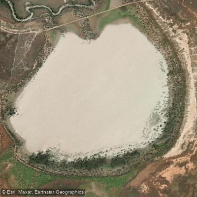
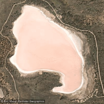
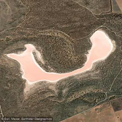
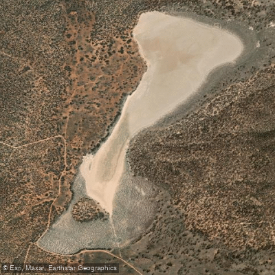
The Pink Lakes and the mallee draw visitors, but the river channels are genuinely remote. That remoteness is the point.
Top waters to paddle near Murray Sunset National Park

Water and weather conditions (10 day forecast)
See the best times to paddle Murray-Sunset National Park and check the forecast before you go.
No forecast data available.
Paddle smarter with real-time insights
Whether you're en route and conditions shift or you're looking for the best spot based on current flows, we enable you to make informed decisions on the fly.







Paddling near Murray-Sunset National Park
Loading...
Gateway towns
Where to base yourself for paddling in Murray-Sunset National Park.
- RobinvaleVictoria
Nearby Murray River town serving as a base for the park's northern river and island areas, with accommodation and supplies.
- MurrayvilleVictoria
Small Mallee town on the park's eastern edge, used as an access point and supply stop for visitors heading into the park.
- UnderboolVictoria
Closest township to the Pink Lakes via the Mallee Highway, making it the main jumping-off point for that iconic area of the park.
Explore Murray-Sunset National Park
Top paddling waters
Popular Cities
Loading popular cities...

Smarter Paddling Starts in the App.
Paddleways gives you everything you need to plan smarter, paddle better, and own every trip from first launch to takeout.