Paddling in Nymboi-Binderay National Park
- National Park
- Lakes
- 0
- Rivers
- 16
- Access
- 0
- Boat Ramps
- 0
- Shops
- 0
Nymboi-Binderay sits in the ranges west of Coffs Harbour in northern New South Wales, and the water that defines it is whitewater.
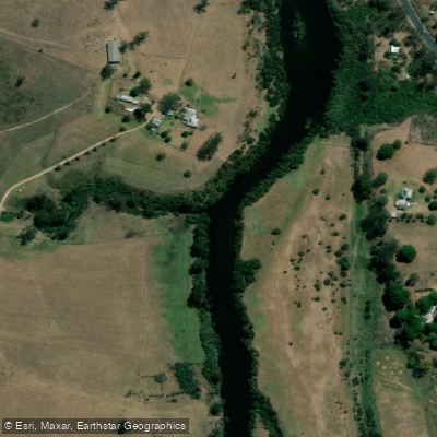
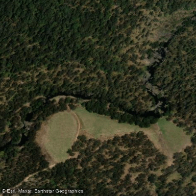
The Nymboida River is the park's spine — a demanding, continuous river running through gorge country that draws experienced kayakers and rafters from across the country. This is not a place to ease into paddling.
Apart from a short swimming section at Platypus Flat, the Nymboida is for paddlers who know what they're doing. The Nymboida is the upstream anchor of the Clarence Canoe and Kayak Trail, Australia's longest mapped whitewater trail at 195 kilometres.
The trail begins at the junction of the Nymboida and Little Nymboida Rivers inside the park — a full-day section of roughly 23 kilometres running at Grade 2 down to Nymboida township.
That junction put-in is the park's primary access point for paddlers, and the river from there downstream rewards those willing to commit to a multi-day trip through some of the most intact river gorge in coastal NSW. Water levels matter here.
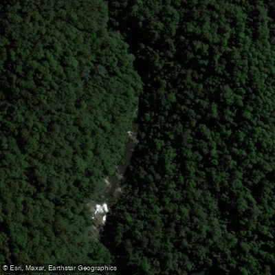
The Nymboida runs through a gorge where the difference between a low-water rock garden and a pushy, technical run is significant.
The packrafting and kayaking community tends to target the cooler months when rainfall is more reliable, though the river can run year-round depending on conditions.
Summer heat in the gorge is serious — 38°C days are not unusual — and the remoteness of the terrain means self-sufficiency is not optional.
Commercial rafting and canoeing trips operate on the Nymboida through licensed operators, including guided trips with Exodus Adventures running the Nymboida and Boyd rivers.
The park requires commercial operators to hold an Occupational Permit; check with NSW National Parks for current requirements before running a commercial trip or booking a guide. The Nymboida doesn't forgive underestimation.
Gorge walls, remote campsites, and a river that changes character with every rain event make this a place where preparation is the price of entry — and where the paddling, when conditions align, is as good as anything in eastern Australia.
Top waters to paddle near Nymboi Binderay National Park
Water and weather conditions (10 day forecast)
See the best times to paddle Nymboi-Binderay National Park and check the forecast before you go.
No forecast data available.
Paddle smarter with real-time insights
Whether you're en route and conditions shift or you're looking for the best spot based on current flows, we enable you to make informed decisions on the fly.







Paddling near Nymboi-Binderay National Park
Loading...
Gateway towns
Where to base yourself for paddling in Nymboi-Binderay National Park.
- DorrigoNSW
The nearest town to the park, serving as the main base with access to the Moonpar Forest Drive route through the park.
- NymboidaNSW
Small village close to the park's river access points, used by rafters and kayakers heading onto the Nymboida River.
Explore Nymboi-Binderay National Park
Top paddling waters
Popular Cities
Loading popular cities...

Smarter Paddling Starts in the App.
Paddleways gives you everything you need to plan smarter, paddle better, and own every trip from first launch to takeout.