Paddling in Royal National Park
- National Park
- Lakes
- 4
- Rivers
- 60
- Access
- 0
- Boat Ramps
- 1
- Shops
- 0
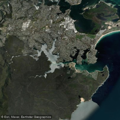
Royal National Park sits on the southern edge of Sydney, wrapped around the Port Hacking estuary and the Hacking River system.
The paddling here is estuarine and sheltered creek water — tidal, sandstone-lined, and largely calm — with a stretch of more open water near the heads where ocean swell and current make themselves felt. This is not whitewater country.
It is a park where the paddling reward is access to bush that you simply cannot reach on foot from the water's edge. The Hacking River is the spine of it.
From the Audley Weir, the tidal reach runs downstream through the estuary toward Bundeena and the heads at Port Hacking.
The weir at Audley marks the practical upstream limit; below it, Reids Flat Picnic Area gives easy water access with car access subject to the park entry fee.
The estuary's southern bank is park boundary for most of its length, which means the bush stays intact where the northern shore has given way to waterfront houses and marina moorings.
Kangaroo Creek branches off near Audley and runs about 2 km into the park between sandstone cliffs and eucalypt forest. It is the most contained paddle in the system — sheltered, easy-graded, and the kind of water where you slow down and look up.
The Audley Boatshed, operating since 1893, hires canoes, kayaks, and rowboats Tuesday through Sunday; life jackets are required and included in the hire.
South West Arm Creek is a different proposition — a mix of river and open-inlet paddling that suits a sea kayak more than a short recreational hull. The launch is off Warumbul Road Picnic Area, down a short track to flat rocks.
The inlet can get choppy in afternoon wind, and the open water crossing has some depth to it. Summer brings swimming holes and snorkelling along the way. From Bundeena, on the southern shore near the park boundary, the paddling opens onto Port Hacking itself.
Bundeena Kayaks operates from Bonnie Vale picnic grounds and runs guided tours covering roughly 4 km of waterway, as well as self-guided hire.
Near the heads, tidal currents strengthen and ocean swell wraps in; Simpson's Bay near Bundeena can produce small surf.
Power boats and jet skis share the estuary, and the deep-water channels deserve respect on busy weekends — mid-week paddles are noticeably quieter. Park entry fees apply across the whole area.
The water itself is shared and tidal, which means conditions shift with the tide as much as the weather. Check both before you launch.
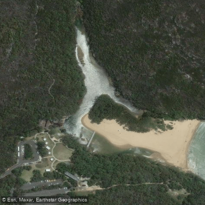
Top waters to paddle near Royal National Park
Water and weather conditions (10 day forecast)
See the best times to paddle Royal National Park and check the forecast before you go.
No forecast data available.
Paddle smarter with real-time insights
Whether you're en route and conditions shift or you're looking for the best spot based on current flows, we enable you to make informed decisions on the fly.







Paddling near Royal National Park
Loading...
Gateway towns
Where to base yourself for paddling in Royal National Park.
- SutherlandNew South Wales
Main northern gateway town with train access, supplies, and lodging for visitors heading into the park.
- CronullaNew South Wales
Coastal suburb serving as a northern access point with ferry service to Bundeena inside the park.
- BundeenaNew South Wales
Small village at the park's northern edge, reachable by ferry, with direct access to coastal walks and beaches.
- OtfordNew South Wales
Southern entry point on the Coast Track, with a train station used by hikers starting or finishing the multi-day coastal walk.
Explore Royal National Park
Top paddling waters
Popular Cities
Loading popular cities...

Smarter Paddling Starts in the App.
Paddleways gives you everything you need to plan smarter, paddle better, and own every trip from first launch to takeout.