South West Arm Creek
South West Arm Creek
- Boat Ramps
- 0
- Access Points
- 0
- Campsites
- 0
South West Arm Creek is a tidal creek entering Royal National Park on the southern side of Port Hacking, approximately 50 kilometres south of Sydney. The creek runs roughly 3.5 kilometres into the park from its entrance opposite Lilli Pilli, terminating at a deep basin with a rock shelf above it. The surrounding landscape is entirely within the national park, giving the upper reaches a remote character despite the relatively short distance from suburban Sydney.
Timing a paddle around high tide is strongly recommended, as shallow water and exposed mud flats can make the creek difficult or impassable at lower water levels. A national park entry fee applies to the area; at the time of reporting this was $12 per day or $65 for an annual pass.
Several launch options exist on the northern side of Port Hacking, including the boat ramp at Yowie Bay. Paddlers can also start from Warumbul Picnic Area, which is accessible via a side road between Audley and Bundeena and allows vehicles to drive close to the water's edge. From the northern shore, reaching the creek entrance requires a crossing of approximately 600 metres. This crossing is generally calm but can be affected by wind and chop, and it crosses an active boating channel. Paddlers are advised to cross in a group, remain alert to vessel traffic, and minimise time spent in the channel. The headland at Warumbul experiences strong tidal flow and is frequently choppy.
The outer entrance to the creek attracts fast powerboats and occasional water skiers, so staying close to shore is advisable in this section. Further upstream, fast boats are rarely encountered, though small aluminium runabouts with outboard motors are common. The upper reaches feature mangroves, mud flats with small fish and crabs, and shallow sandy sections where dragging a boat may be necessary. The basin at the navigable limit offers a swimming hole, and at low tide a small beach is exposed nearby. Flatrock Creek joins the arm near the upper basin, and Winifred Falls is a short distance upstream on foot from the rock shelf.
Wildlife along the creek includes cormorants, herons, and kingfishers. Afternoon winds can increase chop on the return journey. A return trip from Yowie Bay to the upper end of South West Arm is approximately 15 kilometres and typically takes four to five hours, with the paddle best started around two hours before high tide.
Water access, boat ramps & amenities
Learn how to get on South West Arm Creek. Uncover great paddling access points, boat ramps, and all the facilities you need for an unforgettable day on the water. Some locations shown may border or include private property. Always check property boundaries and applicable regulations before visiting. PaddleWays's Public & Private Land layer can help you plan your access with confidence.
Paddle smarter with real-time insights
Whether you're en route and conditions shift or you're looking for the best spot based on current flows, we enable you to make informed decisions on the fly.








Find Places to Paddle

Over 400,000 Places to Paddle
Every user gets free access to launch points, boat ramps, and public property parcels.


Water and weather conditions (10 day forecast)
See the best times to paddle South West Arm Creek and check the forecast before you go.
No forecast data available.
Paddling near South West Arm Creek
Sydney
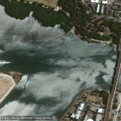
Parramatta River
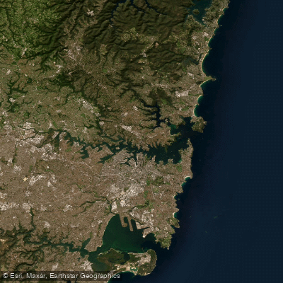
Port Jackson
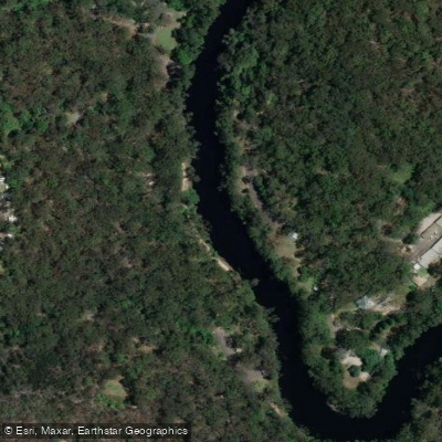
Lane Cove River
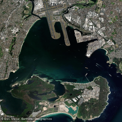
Botany
Botany Bay
Cowan Creek
Georges River
Bate Bay
Woronora River
Explore New South Wales waters
Top paddling waters
No waters available right now.
Popular Cities
Loading popular cities...
Explore near South West Arm Creek
Nearby waters
More in New South Wales

Smarter Paddling Starts in the App.
Paddleways gives you everything you need to plan smarter, paddle better, and own every trip from first launch to takeout.