Hacking River
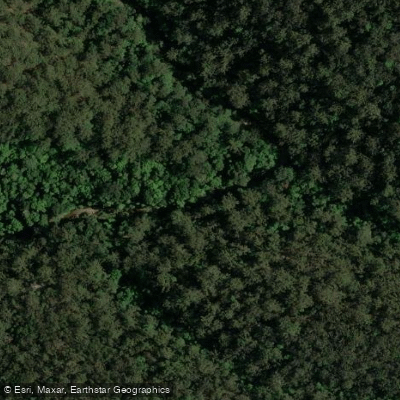
Hacking River
- Boat Ramps
- 2
- Access Points
- 0
- Campsites
- 0
The Hacking River originates in the Royal National Park south of Sydney, in the Sutherland Shire, and flows into the Port Hacking Estuary. The estuary extends from the tidal reach at Audley Weir to the heads at Cronulla and Bundeena, offering a substantial paddling corridor through varied landscapes. The northern side of the estuary opens into suburban bays, while the southern shore borders the Royal National Park, where several creeks provide access into the park's interior.
A common put-in is at Reids Flat Picnic Area, located in the Royal National Park a few hundred metres from Audley Weir at the end of Riverside Drive. Car access is available here, though a National Parks entry charge applies. The water at this end of the estuary is sheltered and generally calm except after significant rainfall, making it a practical location for skill practice as well as the starting point for longer paddles toward Bundeena and the heads. The full estuary paddle from Audley to Bundeena covers approximately 12 kilometres one way.
South West Arm Creek, accessible from boat ramps on the northern side of Port Hacking opposite Lilli Pilli, runs into the Royal National Park for around 3.5 kilometres. This creek is best paddled around high tide, as shallow water can make it impassable at other times. Mangroves are present along portions of the estuary and are accessible at high tide.
Tidal planning is relevant for the full estuary route; paddlers aiming for longer trips are advised to time their journey so tides are favourable. The estuary passes through varied terrain including mangroves, open water, and coastal scenery, with wildlife and flora characteristic of the Royal National Park. The Bonnie Vale campground near Bundeena provides a rest point along the route.
Multiple boat ramps on the northern side of Port Hacking offer additional launch options for those wanting to access different sections of the estuary or side creeks.
Water access, boat ramps & amenities
Learn how to get on Hacking River. Uncover great paddling access points, boat ramps, and all the facilities you need for an unforgettable day on the water. Some locations shown may border or include private property. Always check property boundaries and applicable regulations before visiting. PaddleWays's Public & Private Land layer can help you plan your access with confidence.
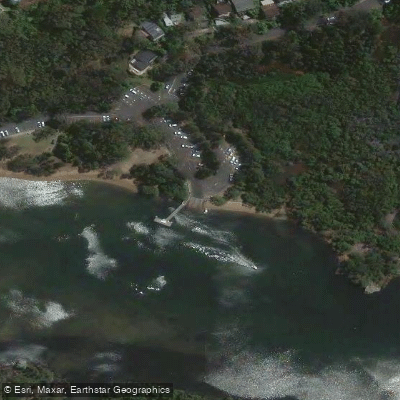
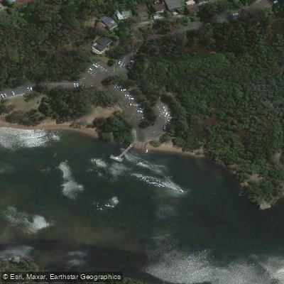
Paddle smarter with real-time insights
Whether you're en route and conditions shift or you're looking for the best spot based on current flows, we enable you to make informed decisions on the fly.








Find Places to Paddle

Over 400,000 Places to Paddle
Every user gets free access to launch points, boat ramps, and public property parcels.


Water and weather conditions (10 day forecast)
See the best times to paddle Hacking River and check the forecast before you go.
No forecast data available.
Paddling near Hacking River
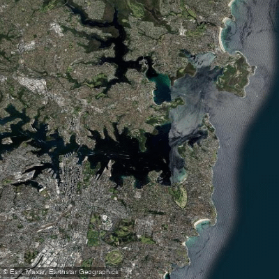
Sydney
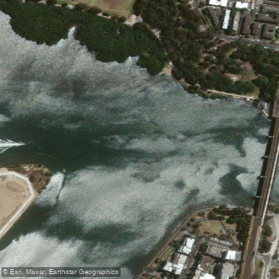
Parramatta River
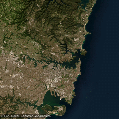
Port Jackson
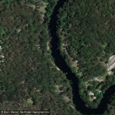
Lane Cove River
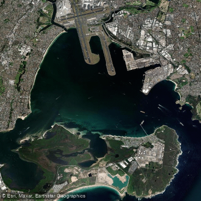
Botany
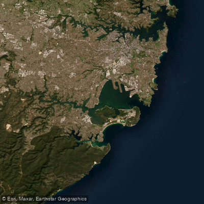
Botany Bay
Cowan Creek

Georges River
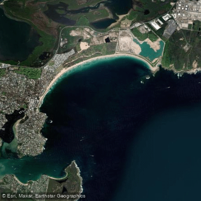
Bate Bay
Woronora River
Explore New South Wales waters
Top paddling waters
No waters available right now.
Popular Cities
Loading popular cities...
Explore near Hacking River
Access points
Nearby waters
More in New South Wales

Smarter Paddling Starts in the App.
Paddleways gives you everything you need to plan smarter, paddle better, and own every trip from first launch to takeout.