Garie Beach
- Saltwater
- Beach
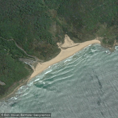
Garie Beach
- Saltwater
- Beach
- Sq. miles
- 0.2
- Boat Ramps
- 0
- Access Points
- 0
- Campsites
- 0
Garie Beach is a large, yellow-sand beach within Royal National Park, accessed via Garie Beach Road. It is the park's largest beach and provides a direct ocean launch for kayaks, stand-up paddleboards, and surf skis. The beach is flanked by a towering headland, creating a scenic and somewhat remote-feeling coastal environment. Access for paddlers involves carrying gear from the adjacent Garie Beach picnic area, which has parking available, though a park entry fee applies. The beach is intermittently patrolled by lifeguards during summer daylight hours, indicating the presence of surf and potential shore-break, which are primary hazards for launching and landing. The beach faces the open Pacific Ocean, making it exposed to prevailing winds and swell. Whale watching is a notable seasonal activity from the beach and nearby Governor Game lookout, with the migration season occurring between May and November. The beach serves as a waypoint on the multi-day Coast Track, a 26-30 kilometer coastal bushwalk, and is the start of the 4.8-kilometer return walking track to Era Beach. This proximity to the Coast Track suggests that a recommended day trip for experienced paddlers could involve exploring the coastline north or south, passing other beaches like Era and Burning Palms. The surrounding area features rainforest gullies with cabbage tree palms and ferns. Birdwatching is popular, with potential sightings of seabirds like albatross, sea eagles, and peregrine falcons. Facilities are limited to the picnic area, which provides basic amenities like picnic spots and drinking water. The overall character is that of a popular, scenic surf beach within a national park, suitable for paddlers comfortable with handling ocean conditions.
Water access, boat ramps & amenities
Learn how to get on Garie Beach. Uncover great paddling access points, boat ramps, and all the facilities you need for an unforgettable day on the water. Some locations shown may border or include private property. Always check property boundaries and applicable regulations before visiting. PaddleWays's Public & Private Land layer can help you plan your access with confidence.
Paddle smarter with real-time insights
Whether you're en route and conditions shift or you're looking for the best spot based on current flows, we enable you to make informed decisions on the fly.








Find Places to Paddle

Over 400,000 Places to Paddle
Every user gets free access to launch points, boat ramps, and public property parcels.


Tides, wind & water conditions (10 day forecast)
On open water, wind and tide matter as much as the weather. See the best times to paddle Garie Beach and check the marine forecast before you launch.
Loading tide predictions…
Paddling near Garie Beach
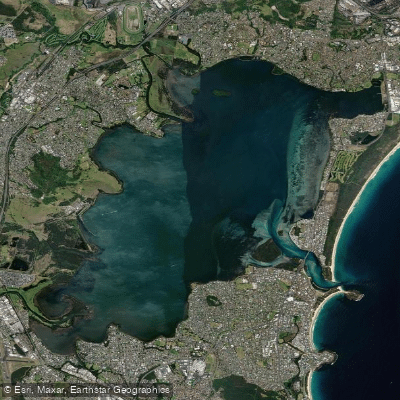
Lake Illawarra

Georges River
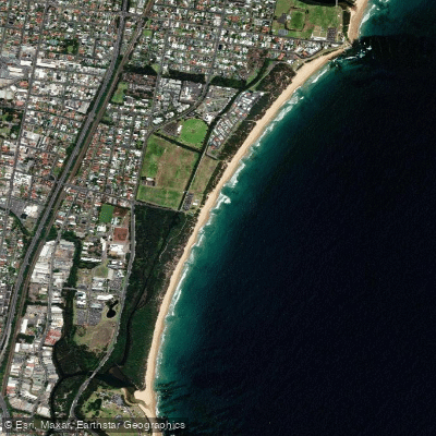
Towradgi Beach
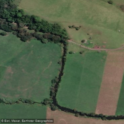
Minnamurra River
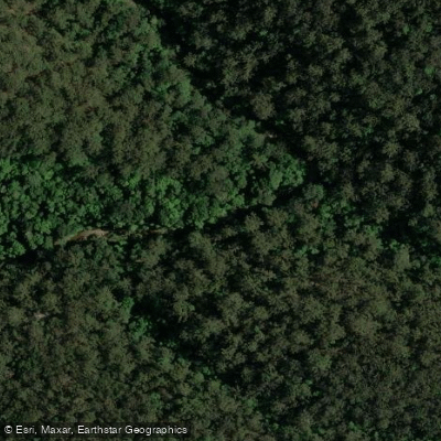
Hacking River
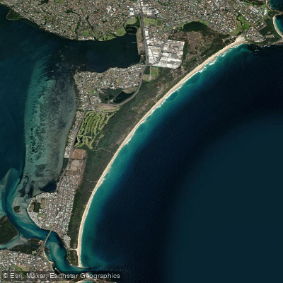
Perkins Beach
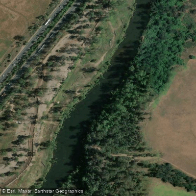
Nepean River
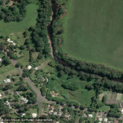
Kangaroo River
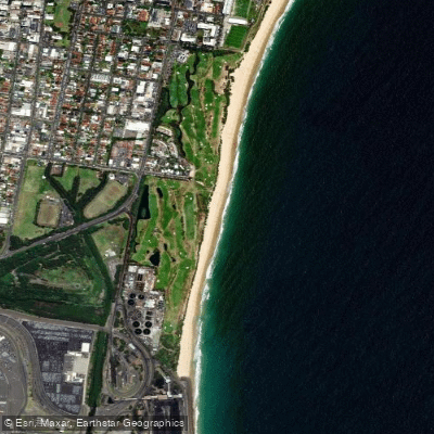
Coniston Beach
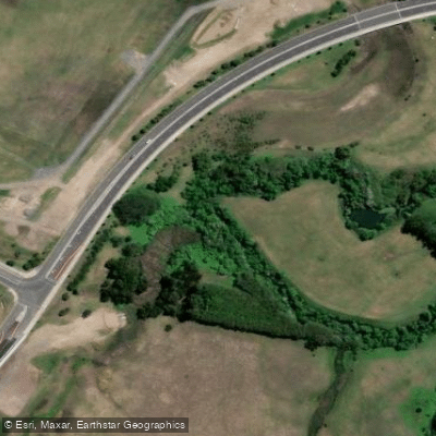
Mullet Creek
Explore New South Wales waters
Top paddling waters
No waters available right now.
Popular Cities
Loading popular cities...
Explore near Garie Beach

Smarter Paddling Starts in the App.
Paddleways gives you everything you need to plan smarter, paddle better, and own every trip from first launch to takeout.