Paddling in Wilsons Promontory National Park
- National Park
- Lakes
- 7
- Rivers
- 30
- Access
- 0
- Boat Ramps
- 1
- Shops
- 0
Wilsons Promontory pushes further south into Bass Strait than any other point on mainland Australia, and the water around it reflects that exposure.
The paddling here is almost entirely coastal — sea kayaking along granite headlands, through coves, and across open crossings where Bass Strait weather sets the terms.
The park also holds the Wilsons Promontory Marine National Park along its southern coast, a protected marine zone that shapes what paddlers can and cannot do once they're on the water. The east and west coasts of the Prom offer very different experiences.
The east coast, with its pink granite cliffs, clear coves, and access to offshore islands, draws most of the sea kayak traffic.
Refuge Cove is a key waypoint on multi-day east coast traverses — a sheltered anchorage that can turn exposed fast when wind swings offshore. The crossing from Brown Head into the cove, roughly 1.
75 km across open water, is the kind of short distance that demands attention to conditions. Waterloo Bay sits further north along the east coast and serves as a staging point for paddlers moving between sections.
Tin Mine Cove, accessible from Port Welshpool across Corner Inlet, is a common first-night destination on guided trips approaching the Prom from the north.
Corner Inlet itself — the shallow, tidal waterway on the park's northwest edge — is a different kind of paddling: flatter, more sheltered, tide-dependent.
The 3–4 hour crossing from Port Welshpool to Tin Mine Cove threads through a section locals call Five Ways, where channels converge.
Tidal River, on the west side of the park, is the main access hub and campground area; Darby River and Roaring Meg Creek are smaller drainages in the same vicinity. Bass Strait doesn't forgive poor timing.
Wind forecasts here routinely underestimate actual conditions — real-time wind can run well above forecast, particularly in the afternoons.
Paddlers completing circuits of the Prom treat it as a serious multi-day expedition, typically six to seven days, with boat pickup often arranged at the end rather than paddling back against prevailing conditions.
Check in with Parks Victoria before any overnight coastal trip; the marine national park designation carries its own rules about where you can land and camp.
Top waters to paddle near Wilsons Promontory National Park
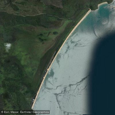
Water and weather conditions (10 day forecast)
See the best times to paddle Wilsons Promontory National Park and check the forecast before you go.
No forecast data available.
Paddle smarter with real-time insights
Whether you're en route and conditions shift or you're looking for the best spot based on current flows, we enable you to make informed decisions on the fly.







Paddling near Wilsons Promontory National Park
Loading...
Gateway towns
Where to base yourself for paddling in Wilsons Promontory National Park.
- YanakieVictoria
The closest settlement to the park entrance, with holiday parks, cabins, and a general store serving as the main base.
- FosterVictoria
The nearest town with a full range of services—supermarkets, fuel, accommodation, and supplies—before heading to the Prom.
- Fish CreekVictoria
A small town on the approach road to the park with cafes and accommodation popular with visitors.
- TooraVictoria
A quiet gateway town on the South Gippsland Highway with motel lodging for visitors approaching the park from the north.
Explore Wilsons Promontory National Park
Top paddling waters
Popular Cities
Loading popular cities...
Smarter Paddling Starts in the App.
Paddleways gives you everything you need to plan smarter, paddle better, and own every trip from first launch to takeout.