Sandy Point (Waratah Bay)
- Saltwater
- Beach
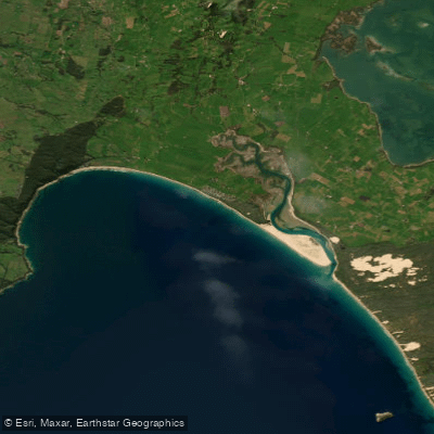
Sandy Point (Waratah Bay)
- Saltwater
- Beach
- Sq. miles
- 3.8
- Boat Ramps
- 0
- Access Points
- 0
- Campsites
- 2
Sandy Point (Waratah Bay) is a 15-kilometre long, open, southerly-facing surf beach located at the northern end of Wilsons Promontory National Park. The beach is exposed and characterised by high waves, averaging between 1.4 to 1.6 metres, which produce a wide, low-gradient sandy shore. The surf zone is approximately 300 metres wide and typically features two shore-parallel sandbars, with the inner bar cut by large rip currents every 300 metres. These rips become more active and the bar detaches from the shore following periods of high waves. Westerly winds intensify both the wave action and these rip currents, making conditions more challenging. The beach fronts both the open ocean of Waratah Bay and is near the calmer waters of Shallow Inlet, a water sports mecca. Access for paddlers launching from shore is via a parking area off Beach Parade in the small coastal settlement of Sandy Point. The beach is wide, suggesting a potentially long carry from the car park to the water's edge depending on the tide. The area is exposed, with no natural protection from wind or swell, requiring careful assessment of conditions before launching. Notable nearby features include views across Corner Inlet toward Wilsons Promontory. The surrounding district is known for its scenic beauty and outdoor, adventurous environment.
Water access, boat ramps & amenities
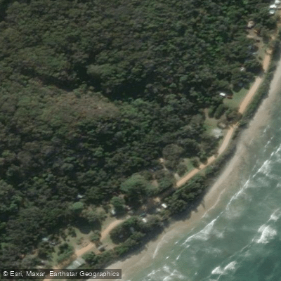
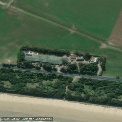
Learn how to get on Sandy Point (Waratah Bay). Uncover great paddling access points, boat ramps, and all the facilities you need for an unforgettable day on the water. Some locations shown may border or include private property. Always check property boundaries and applicable regulations before visiting. PaddleWays's Public & Private Land layer can help you plan your access with confidence.
Paddle smarter with real-time insights
Whether you're en route and conditions shift or you're looking for the best spot based on current flows, we enable you to make informed decisions on the fly.








Find Places to Paddle

Over 400,000 Places to Paddle
Every user gets free access to launch points, boat ramps, and public property parcels.


Tides, wind & water conditions (10 day forecast)
On open water, wind and tide matter as much as the weather. See the best times to paddle Sandy Point (Waratah Bay) and check the marine forecast before you launch.
Loading tide predictions…
Paddling near Sandy Point (Waratah Bay)
Yarra River
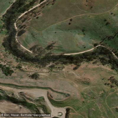
Maribyrnong River

Port Phillip Bay

Werribee River
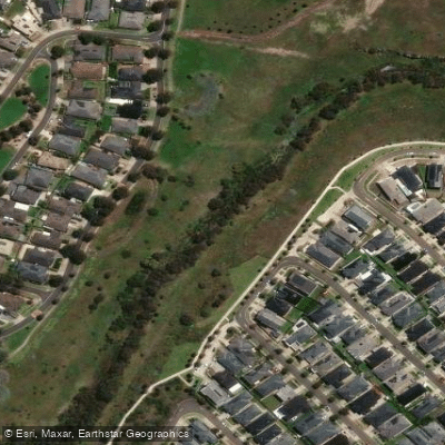
Kororoit Creek

Port Phillip
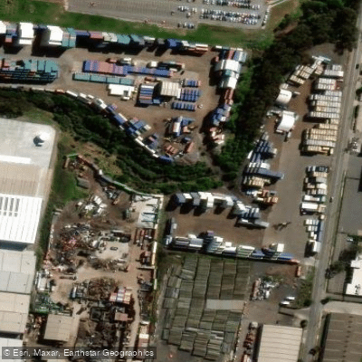
Stony Creek
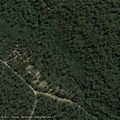
Murrindindi River
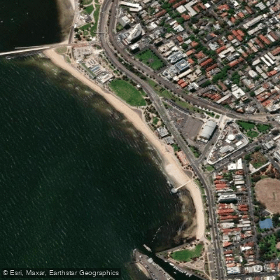
St Kilda Beach

Campaspe River
Explore Victoria waters
Top paddling waters
No waters available right now.
Popular Cities
Loading popular cities...
Explore near Sandy Point (Waratah Bay)

Smarter Paddling Starts in the App.
Paddleways gives you everything you need to plan smarter, paddle better, and own every trip from first launch to takeout.