Shallow Inlet
- Saltwater
- Estuary
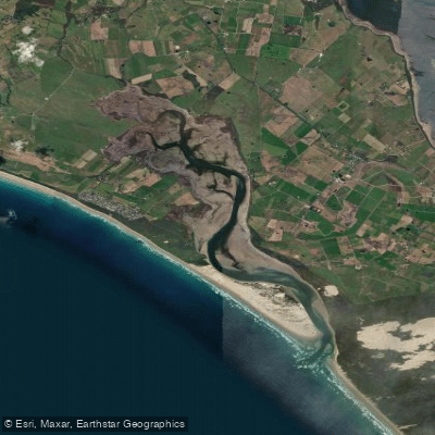
Shallow Inlet
- Saltwater
- Estuary
- Sq. miles
- 9.9
- Boat Ramps
- 2
- Access Points
- 0
- Campsites
- 1
Shallow Inlet is a large, shallow saltwater estuary located east of Yanakie and north of Wilsons Promontory in South Gippsland, Victoria. The primary access point for paddlers is at the end of Sandy Point Road, where there is a car park and a designated boat launching area on the foreshore. This launch site is also referenced as the "High Tide carpark" for a coastal walk. The inlet is characterized by its expansive, shallow waters and proximity to coastal bushland and marshlands. The area is known for significant wind exposure, with forecasts frequently indicating strong gusts that can create challenging conditions. Wave heights within the inlet can become significant. The water temperature is consistently cool, posing a year-round risk of hypothermia, with temperatures around 13-14°C. Paddlers can expect to see abundant wildlife, including many birds and crabs in the northern marshlands. The scenic views extend down towards Wilsons Promontory. A walking track connects the inlet to Sandy Point's surf beach, indicating the inlet is sheltered from direct ocean surf but is adjacent to a surf coast. Facilities include retained vehicle access, parking, and boat launching infrastructure on the foreshore. The overall character is one of a dynamic, wind-affected coastal estuary where conditions can change rapidly, demanding experience and preparation for cold water and wind.
Water access, boat ramps & amenities
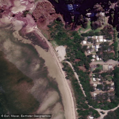
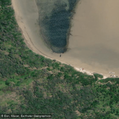
Learn how to get on Shallow Inlet. Uncover great paddling access points, boat ramps, and all the facilities you need for an unforgettable day on the water. Some locations shown may border or include private property. Always check property boundaries and applicable regulations before visiting. PaddleWays's Public & Private Land layer can help you plan your access with confidence.
Paddle smarter with real-time insights
Whether you're en route and conditions shift or you're looking for the best spot based on current flows, we enable you to make informed decisions on the fly.








Find Places to Paddle

Over 400,000 Places to Paddle
Every user gets free access to launch points, boat ramps, and public property parcels.


Tides, wind & water conditions (10 day forecast)
On open water, wind and tide matter as much as the weather. See the best times to paddle Shallow Inlet and check the marine forecast before you launch.
Loading tide predictions…
Paddling near Shallow Inlet
Yarra River
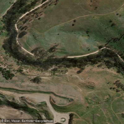
Maribyrnong River

Port Phillip Bay

Werribee River
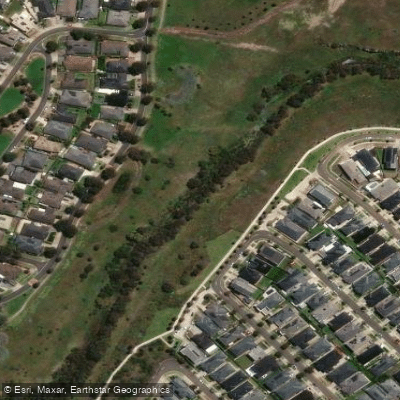
Kororoit Creek

Port Phillip
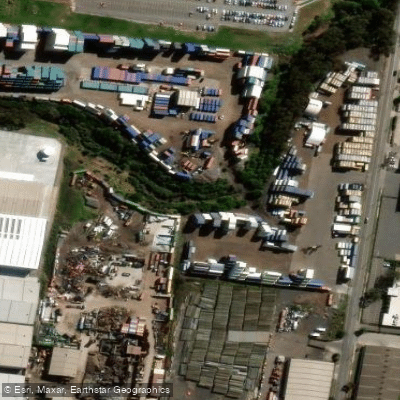
Stony Creek
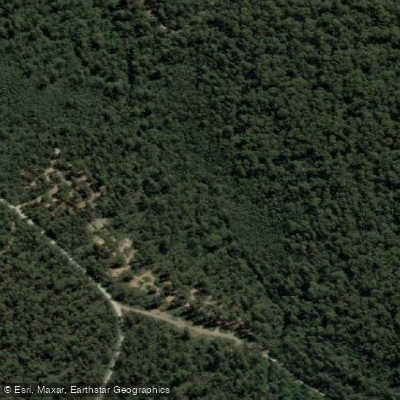
Murrindindi River
St Kilda Beach

Campaspe River
Explore Victoria waters
Top paddling waters
No waters available right now.
Popular Cities
Loading popular cities...
Explore near Shallow Inlet

Smarter Paddling Starts in the App.
Paddleways gives you everything you need to plan smarter, paddle better, and own every trip from first launch to takeout.