Corner Inlet
- Saltwater
- Estuary
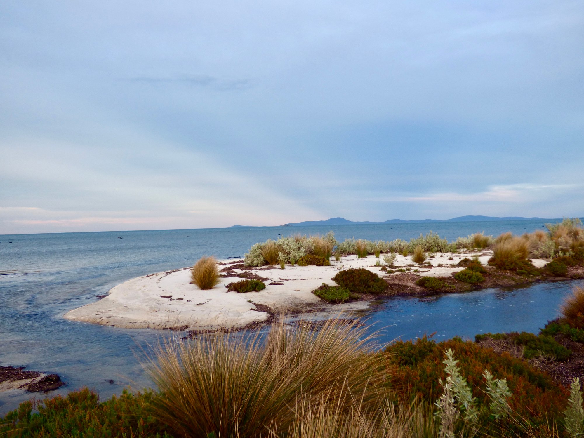
Corner Inlet
- Saltwater
- Estuary
- Sq. miles
- 287
- Boat Ramps
- 6
- Access Points
- 0
- Campsites
- 7
Corner Inlet is a large, shallow coastal estuary located in the Shire of Wellington, Victoria, Australia. It is an internationally significant Ramsar wetland, featuring the world's most southerly population of white mangroves alongside extensive seagrass beds and saltmarsh. The inlet is part of the Corner Inlet and Nooramunga Marine National Park, and its waters are managed by Gippsland Ports, which provides information on boating facilities for the area. Paddling here offers a tour through a network of islands and provides access to the spectacular headlands and beaches at the northern end of Wilsons Promontory, connected via the Yanakie Isthmus. The paddling experience can involve exciting open-water sections. The area holds deep cultural significance for the Gunaikurnai Traditional Owners, being a central part of their creation story. A number of licensed tour operators are permitted to offer sea-kayaking tours within the Marine National Park, indicating that guided commercial paddling is a recognized activity. The inlet is an important habitat for a wide range of waterbirds, including migratory shorebirds that travel vast distances, and it supports diverse native fish species. Paddlers should be aware they are operating in a protected marine national park and Ramsar site, which will have regulations in place to conserve the sensitive ecological values.
Water access, boat ramps & amenities
Learn how to get on Corner Inlet. Uncover great paddling access points, boat ramps, and all the facilities you need for an unforgettable day on the water. Some locations shown may border or include private property. Always check property boundaries and applicable regulations before visiting. PaddleWays's Public & Private Land layer can help you plan your access with confidence.
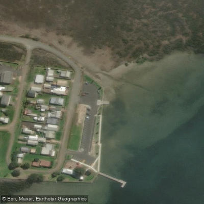
Corner Inlet Port Albert - Manns Beach Ramp
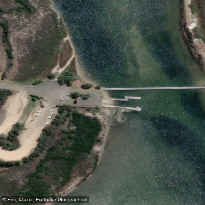
Corner Inlet Port Albert - Mcloughlins Beach Ramp
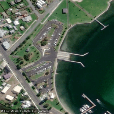
Corner Inlet Port Albert - Port Albert Ramp
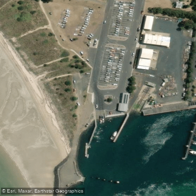
Corner Inlet Port Albert - Port Welshpool Ramp
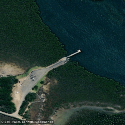
Corner Inlet Port Albert - Toora Ramp
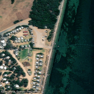
Corner Inlet Port Albert - Yanakie Duck Point Ramp
Paddle smarter with real-time insights
Whether you're en route and conditions shift or you're looking for the best spot based on current flows, we enable you to make informed decisions on the fly.








Find Places to Paddle

Over 400,000 Places to Paddle
Every user gets free access to launch points, boat ramps, and public property parcels.


Tides, wind & water conditions (10 day forecast)
On open water, wind and tide matter as much as the weather. See the best times to paddle Corner Inlet and check the marine forecast before you launch.
Loading tide predictions…
Paddling near Corner Inlet
Yarra River
Maribyrnong River

Port Phillip Bay

Werribee River
Kororoit Creek

Port Phillip
Stony Creek
Murrindindi River
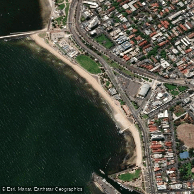
St Kilda Beach

Campaspe River
Explore Victoria waters
Top paddling waters
No waters available right now.
Popular Cities
Loading popular cities...
Explore near Corner Inlet
Access points
- Corner Inlet Port Albert - Manns Beach Ramp
- Corner Inlet Port Albert - Mcloughlins Beach Ramp
- Corner Inlet Port Albert - Port Albert Ramp
- Corner Inlet Port Albert - Port Welshpool Ramp
- Corner Inlet Port Albert - Toora Ramp
- Corner Inlet Port Albert - Yanakie Duck Point Ramp
- Gulf Campsite
- Mcloughlins
- Reeves Beach Camping Area
- Reeves Beach Coastal Reserve
- Swashway Campsite
- The Gulf Campground (Snake Island) Bush camping limited facilities
- All 13 spots
Nearby waters
More in Victoria

Smarter Paddling Starts in the App.
Paddleways gives you everything you need to plan smarter, paddle better, and own every trip from first launch to takeout.