Bohle River
- Saltwater
- Estuary
Bohle River
- Saltwater
- Estuary
- Sq. miles
- 9.7
- Boat Ramps
- 0
- Access Points
- 0
- Campsites
- 0
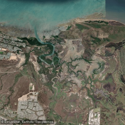
The Bohle River is a tidal estuary in Townsville's northern beaches area, providing sheltered, mangrove-lined paddling routes. The primary public access point for paddlers is the Bushland Beach boat ramp, also referred to as the Stoney Creek/Bohle River boat ramp, located on Marina Drive. This facility is a dual-lane concrete ramp with a floating walkway pontoon, providing direct access to Stony Creek which flows into the main Bohle River channel. Paddlers should be aware of significant tidal influence, with real-time water level data available from the Bureau of Meteorology's "At Dalrymple Road (Alert)" gauging station. The river is subject to flooding, with moderate flood levels noted as a possibility, and paddlers must consult conditions before departure. A critical safety consideration is the confirmed presence of crocodiles within the estuary, requiring constant vigilance. The area is also used by motorized boats, as indicated by the public boat ramp, so paddlers should expect traffic, especially on Stony Creek near the launch. The surrounding environment includes the Bohle River Fish Habitat Area, suggesting ecologically significant mangrove and saltmarsh systems. The waterway has been subject to pollution, with one cleanup effort removing 11 tonnes of waste, indicating variable water quality. The overall paddling experience is characterized by a coastal, subtropical setting with a focus on flatwater exploration of creeks and the main river channel, suitable for kayaks, canoes, and stand-up paddleboards.
Water access, boat ramps & amenities
Learn how to get on Bohle River. Uncover great paddling access points, boat ramps, and all the facilities you need for an unforgettable day on the water. Some locations shown may border or include private property. Always check property boundaries and applicable regulations before visiting. PaddleWays's Public & Private Land layer can help you plan your access with confidence.
Paddle smarter with real-time insights
Whether you're en route and conditions shift or you're looking for the best spot based on current flows, we enable you to make informed decisions on the fly.







Queensland licenses and regulations

Find Places to Paddle

Over 400,000 Places to Paddle
Every user gets free access to launch points, boat ramps, and public property parcels.


Tides, wind & water conditions (10 day forecast)
On open water, wind and tide matter as much as the weather. See the best times to paddle Bohle River and check the marine forecast before you launch.
Loading tide predictions…
Paddling near Bohle River
Ross River
Gordon Creek
Ross Creek
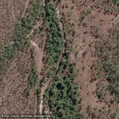
Althaus Creek
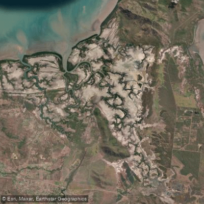
Crocodile Creek
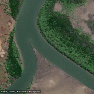
Barramundi Creek
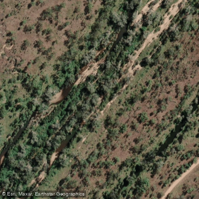
Keelbottom Creek
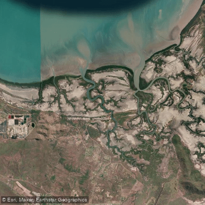
Alligator Creek
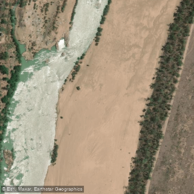
Burdekin River
Explore Queensland waters
Top paddling waters
No waters available right now.
Popular Cities
Loading popular cities...
Explore near Bohle River

Smarter Paddling Starts in the App.
Paddleways gives you everything you need to plan smarter, paddle better, and own every trip from first launch to takeout.