Ross River
Ross River
- Boat Ramps
- 7
- Access Points
- 9
- Campsites
- 0
The Ross River is a 49-kilometre waterway in North Queensland that flows through the city of Townsville before emptying into the Coral Sea. It is the major waterway of Townsville and the city's primary source of drinking water. The river rises in the Hervey Range below Pepper Pot Mountain, flows generally north through Lake Ross, across a flat coastal plain, and then east around Mount Stuart into the city, passing through the suburbs of Aitkenvale, Annandale, Condon, Kelso, Mundingburra, Murray, and Rasmussen.
Paddlers should be aware that the river contains crocodiles and turtles, as noted by guided kayaking tours operating on the waterway. The presence of crocodiles is a significant safety consideration for anyone paddling independently. Flow rates along the river are regulated by the Ross River Dam, the largest dam in the catchment, and three weirs exist along the river's course, which will affect route planning and may require portaging. Seven crossings also span the river.
The river connects to Ross Creek and is accessible from The Strand area near Townsville's CBD, which serves as a launch point for paddlers. The mouth of the river, located in South Townsville, is currently being developed into a marina precinct. Commercial kayaking tours operate on the river, offering guided experiences that include wildlife observation.
The river's catchment area covers 1,340 square kilometres. Given its location in tropical North Queensland, paddlers should factor in the region's wet and dry season patterns when planning trips.
Water access, boat ramps & amenities
Learn how to get on Ross River. Uncover great paddling access points, boat ramps, and all the facilities you need for an unforgettable day on the water. Some locations shown may border or include private property. Always check property boundaries and applicable regulations before visiting. PaddleWays's Public & Private Land layer can help you plan your access with confidence.
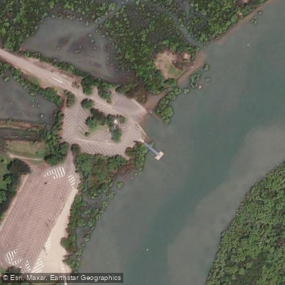
Railway Estate, Barnicle Street
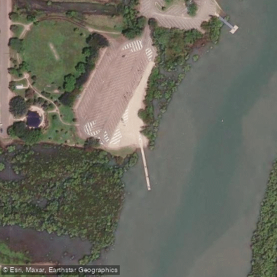
Railway Estate, Barnicle Street (Upstream)
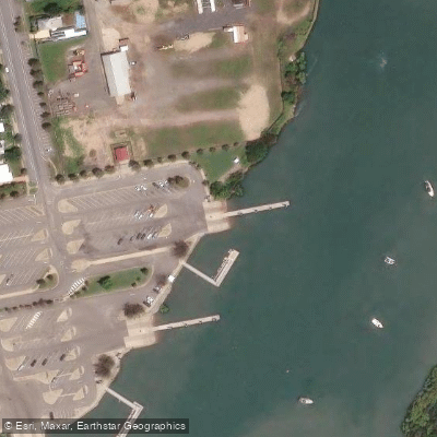
Townsville Recreational Boating Park
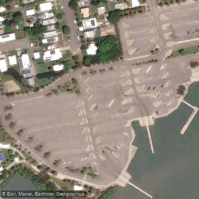
Townsville Recreational Boating Park
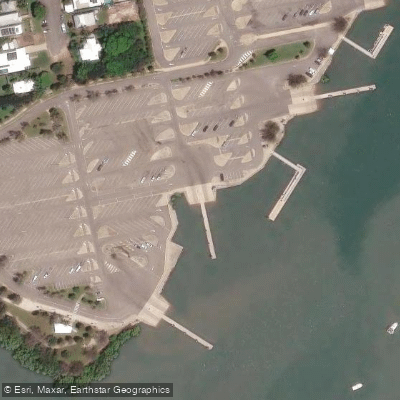
Townsville Recreational Boating Park
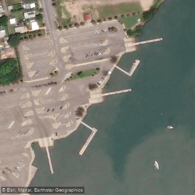
Townsville Recreational Boating Park
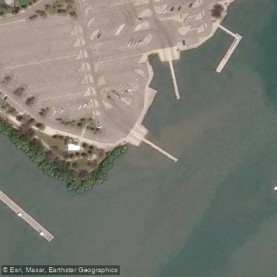
Townsville Recreational Boating Park
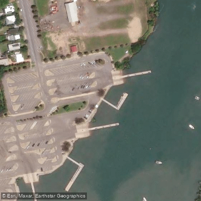
Townsville Recreational Boating Park (30 Metre)
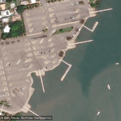
Townsville Recreational Boating Park (50 Metre)
Paddle smarter with real-time insights
Whether you're en route and conditions shift or you're looking for the best spot based on current flows, we enable you to make informed decisions on the fly.







Queensland licenses and regulations

Find Places to Paddle

Over 400,000 Places to Paddle
Every user gets free access to launch points, boat ramps, and public property parcels.


Water and weather conditions (10 day forecast)
See the best times to paddle Ross River and check the forecast before you go.
No forecast data available.
Paddling near Ross River
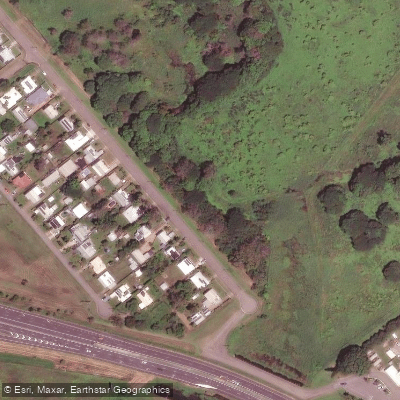
Gordon Creek
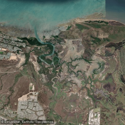
Bohle River
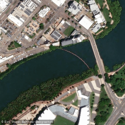
Ross Creek
Althaus Creek
Crocodile Creek
Barramundi Creek
Keelbottom Creek
Alligator Creek
Burdekin River
Explore Queensland waters
Top paddling waters
No waters available right now.
Popular Cities
Loading popular cities...
Explore near Ross River
Access points
- Railway Estate, Barnicle Street (Downstream)
- Railway Estate, Barnicle Street (Upstream)
- Rassmussen, Loam Island, Illuta Street
- Townsville Recreational Boating Park
- Townsville Recreational Boating Park
- Townsville Recreational Boating Park
- Townsville Recreational Boating Park
- Railway Estate, Barnicle Street
- Railway Estate, Barnicle Street (Upstream)
- Townsville Recreational Boating Park
- Townsville Recreational Boating Park
- Townsville Recreational Boating Park
- All 16 spots
Nearby waters
More in Queensland

Smarter Paddling Starts in the App.
Paddleways gives you everything you need to plan smarter, paddle better, and own every trip from first launch to takeout.