Burdekin River
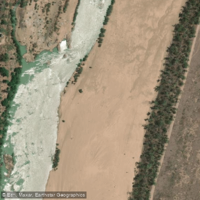
Burdekin River
- Boat Ramps
- 0
- Access Points
- 0
- Campsites
- 0
The Burdekin River is a major waterway in North Queensland, Australia, rising on the northern slopes of Boulder Mountain at Valley of Lagoons on the western slope of the Seaview Range and flowing into the Coral Sea at Upstart Bay. With a catchment area of approximately 130,000 square kilometres, it ranks as Australia's largest river by peak discharge volume and fourth-largest by overall flow volume. The river's flow is notably erratic — annual rainfall across the basin can range from 200 to 1,600 millimetres depending on monsoon activity and cyclone frequency, meaning the river can run at extraordinary volumes following severe weather events or experience up to seven months with no flow at all.
Popular access points and activity areas include the Macrossan Bridge near Charters Towers, Dave Chapman Recreational Park, the Burdekin Weir Park, and Burdekin Falls Dam (also known as Lake Dalrymple). The dam facility includes a boat ramp, car parking, picnic areas, BBQs, camping, toilets, treated water, and a lookout. A mapped kayak route of approximately 112 kilometres (69.6 miles) runs near Charters Towers, described as moderately hilly terrain on an A-to-B layout.
Paddlers should be aware that the Burdekin Falls Dam road at the spillway is subject to closure when the dam is spilling or when a spill is imminent, which can affect access. The boat ramp and recreation area at Lake Dalrymple have previously been closed following significant monsoon events, so checking current access status before visiting is advisable. Any organised events or group activities on Sunwater-managed land — including rowing or boating competitions — require prior approval from Sunwater.
The river corridor supports a diverse range of wildlife. Fish species include Barramundi, Black Bream, Jewfish, and Sleepy Cod. Birdlife along the banks is extensive, with jabirus, egrets, brolgas, terns, white-breasted sea eagles, stilts, ducks, cormorants, cockatoos, rosellas, bowerbirds, wrens, honeyeaters, orioles, kookaburras, dollarbirds, koels, bee-eaters, and kingfishers all recorded. Eastern Water Dragons are also present and can occasionally be spotted in riverside trees. The river's historical significance includes its naming by Ludwig Leichhardt's 1845 expedition in honour of Thomas Burdekin, one of the expedition's sponsors.
Water access, boat ramps & amenities
Learn how to get on Burdekin River. Uncover great paddling access points, boat ramps, and all the facilities you need for an unforgettable day on the water. Some locations shown may border or include private property. Always check property boundaries and applicable regulations before visiting. PaddleWays's Public & Private Land layer can help you plan your access with confidence.
Paddle smarter with real-time insights
Whether you're en route and conditions shift or you're looking for the best spot based on current flows, we enable you to make informed decisions on the fly.







Queensland licenses and regulations

Find Places to Paddle

Over 400,000 Places to Paddle
Every user gets free access to launch points, boat ramps, and public property parcels.


Water and weather conditions (10 day forecast)
See the best times to paddle Burdekin River and check the forecast before you go.
Burdekin River At Clare
All Flow Stations
Paddling near Burdekin River
Ross River
Gordon Creek
Bohle River
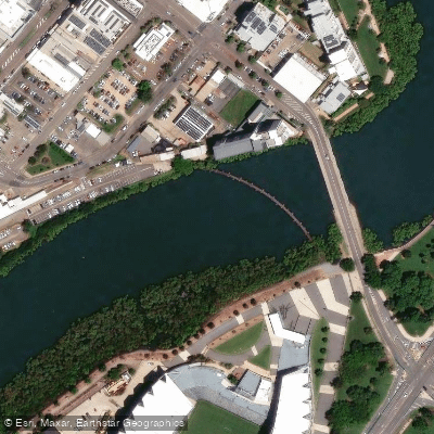
Ross Creek
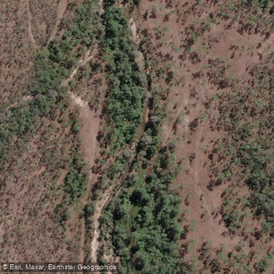
Althaus Creek
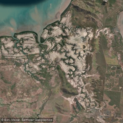
Crocodile Creek
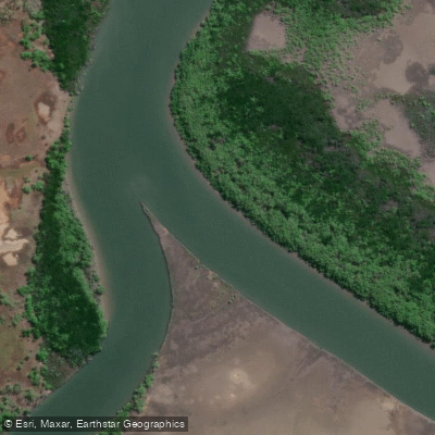
Barramundi Creek
Keelbottom Creek
Alligator Creek
Explore Queensland waters
Top paddling waters
No waters available right now.
Popular Cities
Loading popular cities...
Explore near Burdekin River

Smarter Paddling Starts in the App.
Paddleways gives you everything you need to plan smarter, paddle better, and own every trip from first launch to takeout.