Keelbottom Creek
Keelbottom Creek
- Boat Ramps
- 0
- Access Points
- 0
- Campsites
- 0
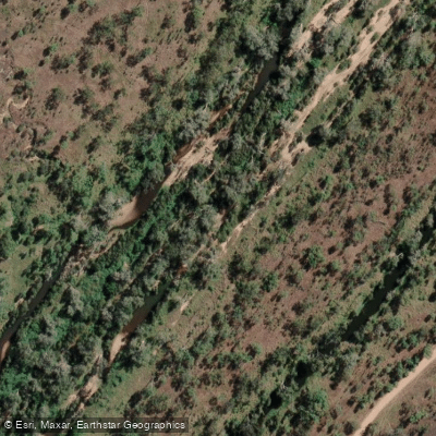
Keelbottom Creek is located in the Dalrymple region of Queensland, approximately 70 kilometres west of Townsville along the Hervey's Range Developmental Road. The road is sealed for most of the journey, with only a short dirt section on the turnoff from the main road. The creek sits at a higher elevation than the coast, offering noticeably cooler temperatures than Townsville.
The creek is characterised by clean, clear water with numerous snags and a scenic appearance. Paddleable water is limited in extent — one account describes paddling upstream from the bridge access point before the water shallows out relatively quickly, with only around 500 metres or so of fishable, navigable water in that direction. Downstream from the bridge, broad expanses of sand provide easier access to the water. The creek can run bank to bank and appear swollen following wet season rainfall, which affects where paddlers can safely access and move along it.
Keelbottom Creek is a popular camping and fishing destination, particularly on weekends and during school holiday periods. Campers swimming in the water and general activity from other users should be expected, especially during peak periods. Litter and rubbish in and around the water has been noted as a recurring issue, with debris observed both in the water and on the banks — a consideration for paddlers expecting a pristine environment.
Wildlife in the area includes a variety of bird species such as fantails, honeyeaters, willie wagtails, double-barred finches, pale-headed rosellas, and black kites. Reptiles including skinks have also been observed on rocks and tree trunks along the creek edge. Riparian vegetation includes flowering plants along the creek edge.
The creek is used for kayaking, with sooty grunter being a target species for those combining paddling with fishing. The snag-heavy structure of the creek makes it well-suited to this style of paddling. Given the shallow water upstream and the limited navigable stretch, Keelbottom Creek is best suited to short day trips rather than extended journeys.
Water access, boat ramps & amenities
Learn how to get on Keelbottom Creek. Uncover great paddling access points, boat ramps, and all the facilities you need for an unforgettable day on the water. Some locations shown may border or include private property. Always check property boundaries and applicable regulations before visiting. PaddleWays's Public & Private Land layer can help you plan your access with confidence.
Paddle smarter with real-time insights
Whether you're en route and conditions shift or you're looking for the best spot based on current flows, we enable you to make informed decisions on the fly.







Queensland licenses and regulations

Find Places to Paddle

Over 400,000 Places to Paddle
Every user gets free access to launch points, boat ramps, and public property parcels.


Water and weather conditions (10 day forecast)
See the best times to paddle Keelbottom Creek and check the forecast before you go.
Keelbottom Creek At Keelbottom
All Flow Stations
Paddling near Keelbottom Creek
Ross River
Gordon Creek
Bohle River
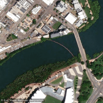
Ross Creek
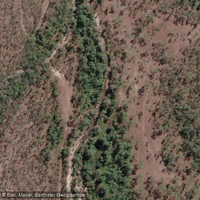
Althaus Creek
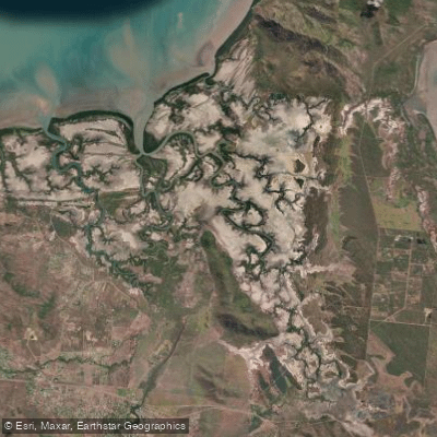
Crocodile Creek
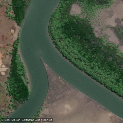
Barramundi Creek
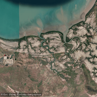
Alligator Creek
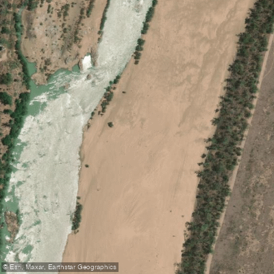
Burdekin River
Explore Queensland waters
Top paddling waters
No waters available right now.
Popular Cities
Loading popular cities...
Explore near Keelbottom Creek

Smarter Paddling Starts in the App.
Paddleways gives you everything you need to plan smarter, paddle better, and own every trip from first launch to takeout.