Maslin Beach
- Saltwater
- Beach
Maslin Beach
- Saltwater
- Beach
- Sq. miles
- 0.9
- Boat Ramps
- 1
- Access Points
- 0
- Campsites
- 0
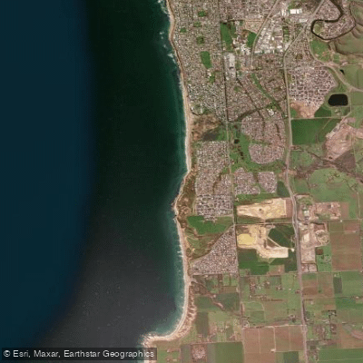
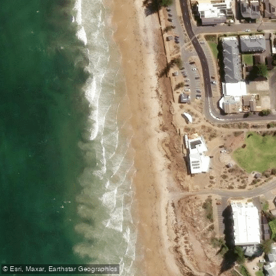
Maslin Beach is a long, straight shore beach approximately 7.3 kilometers in length, located within the City of Onkaparinga on the Fleurieu Peninsula coastline. The beach is public with amenities and is situated adjacent to a road, facilitating access. Parking is available, and the beach is located within a settlement. The foreshore features geologically significant rugged red cliffs that provide a striking contrast to the water, offering scenic views from both the sand and the coastal walking trail above. The northern section of the Coast Park Trail runs for about 1.5 kilometers along these cliff tops, providing several beach access points for paddlers. The southern end of Maslin Beach is designated as a nudist beach, while the remainder of the beach is dog-friendly. For paddlers launching from shore, the carry distance from parking to the water's edge is typically short due to the adjacent road and foreshore access. The beach faces Gulf St Vincent, making it exposed to prevailing winds and swell from that direction, which can create surf and shore-break conditions. The beach is known for its raw dune landscapes and is generally uncrowded. From Maslin Beach, paddlers can access nearby coastal destinations. The Coast Park Trail plan indicates a conceptual link along the foreshore, and consultation has taken place on a trail section that would connect Maslin Beach to Port Willunga and Aldinga Beach to the south. Paddling north along the coast leads towards Christies Beach and Port Noarlunga. The water quality and general cleanliness of the beach are considered good, with the area noted for its picturesque and pristine appearance.
Water access, boat ramps & amenities
Learn how to get on Maslin Beach. Uncover great paddling access points, boat ramps, and all the facilities you need for an unforgettable day on the water. Some locations shown may border or include private property. Always check property boundaries and applicable regulations before visiting. PaddleWays's Public & Private Land layer can help you plan your access with confidence.
Paddle smarter with real-time insights
Whether you're en route and conditions shift or you're looking for the best spot based on current flows, we enable you to make informed decisions on the fly.







South Australia licenses and regulations

Find Places to Paddle

Over 400,000 Places to Paddle
Every user gets free access to launch points, boat ramps, and public property parcels.


Tides, wind & water conditions (10 day forecast)
On open water, wind and tide matter as much as the weather. See the best times to paddle Maslin Beach and check the marine forecast before you launch.
Loading tide predictions…
Paddling near Maslin Beach
Port River
Onkaparinga River
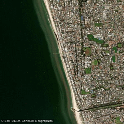
Henley Beach
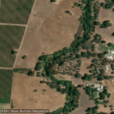
River Torrens
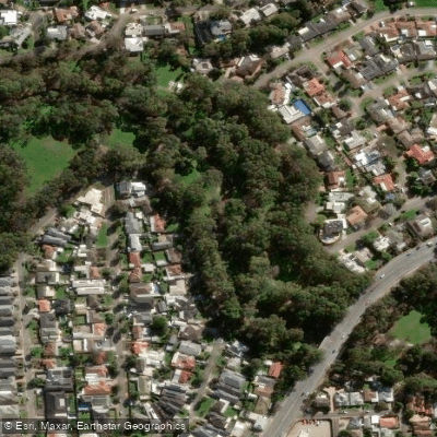
Karrawirra Parri (River Torrens)
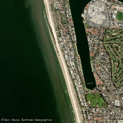
Tennyson Beach

Murray River
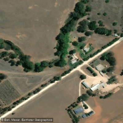
Bremer River
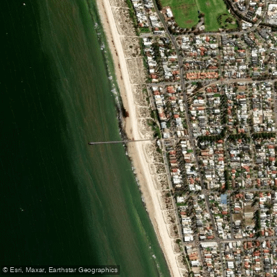
Grange Beach
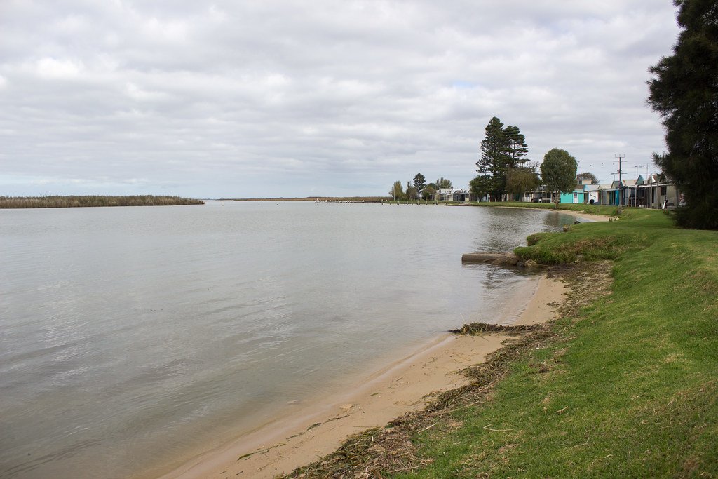
Lake Alexandrina
Explore South Australia waters
Top paddling waters
No waters available right now.
Popular Cities
Loading popular cities...
Explore near Maslin Beach
Access points
Nearby waters
More in South Australia

Smarter Paddling Starts in the App.
Paddleways gives you everything you need to plan smarter, paddle better, and own every trip from first launch to takeout.