D'Entrecasteaux Channel
- Saltwater
- Channel
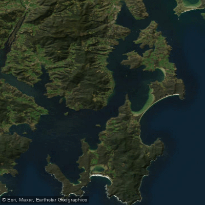
D'Entrecasteaux Channel
- Saltwater
- Channel
- Sq. miles
- 133
- Boat Ramps
- 10
- Access Points
- 1
- Campsites
- 1
The D'Entrecasteaux Channel is a significant saltwater channel separating mainland Tasmania from Bruny Island off the south-eastern coast. It connects the Derwent River estuary to the open Southern Ocean, offering paddlers extensive sheltered waterways. The channel is known for its complex coastline, featuring cliffs, rocky headlands, and small, secluded beaches, some of which are only accessible by boat. A notable access point for paddlers is Snug Beach on North West Bay, which provides a launch site with a caravan park and a peaceful river nearby. However, paddlers should be aware that conditions can change rapidly, especially around headlands. The sea state can become challenging with increasing fetch, leading to an "uppity swell" and white-crested waves that can make landing on exposed beaches hazardous. The water is darker and deeper in these areas. While the channel offers sheltered sections, paddlers must be prepared for open water crossings and variable conditions influenced by Southern Ocean swells. The coastline holds historical significance from early European expeditions and was once used by timber cutters and a small fishing fleet. The overall paddling experience involves exploring a rugged coastline with a mix of developed areas like Snug and remote wilderness stretches, requiring careful attention to weather, swell, and landing conditions.
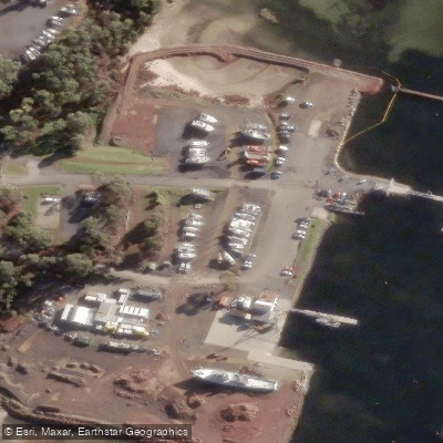
Water access, boat ramps & amenities
Learn how to get on D'Entrecasteaux Channel. Uncover great paddling access points, boat ramps, and all the facilities you need for an unforgettable day on the water. Some locations shown may border or include private property. Always check property boundaries and applicable regulations before visiting. PaddleWays's Public & Private Land layer can help you plan your access with confidence.
Paddle smarter with real-time insights
Whether you're en route and conditions shift or you're looking for the best spot based on current flows, we enable you to make informed decisions on the fly.








Find Places to Paddle

Over 400,000 Places to Paddle
Every user gets free access to launch points, boat ramps, and public property parcels.


Tides, wind & water conditions (10 day forecast)
On open water, wind and tide matter as much as the weather. See the best times to paddle D'Entrecasteaux Channel and check the marine forecast before you launch.
Loading tide predictions…
Paddling near D'Entrecasteaux Channel
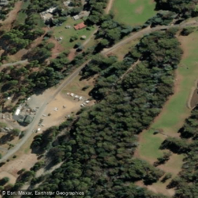
North West Bay River
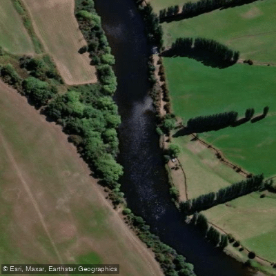
River Derwent
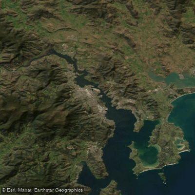
Derwent River
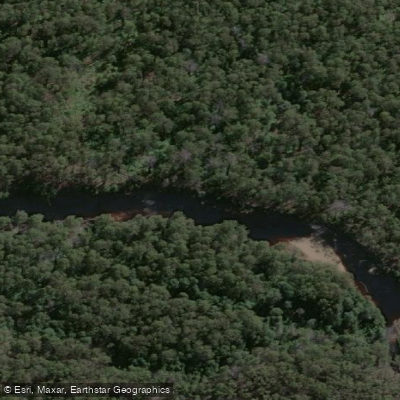
Huon River
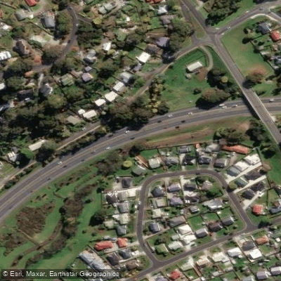
Kangaroo Bay Rivulet
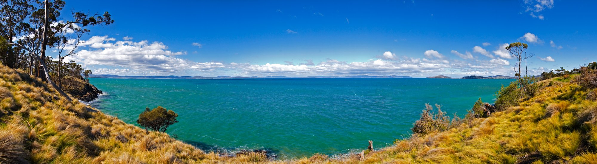
Frederick Henry Bay
Russell River
River Clyde
Weld River
Explore Tasmania waters
Top paddling waters
No waters available right now.
Popular Cities
Loading popular cities...
Explore near D'Entrecasteaux Channel
Access points
Nearby waters
More in Tasmania

Smarter Paddling Starts in the App.
Paddleways gives you everything you need to plan smarter, paddle better, and own every trip from first launch to takeout.