Derwent River
- Saltwater
- Estuary
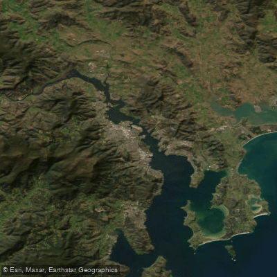
Derwent River
- Saltwater
- Estuary
- Sq. miles
- 30
- Boat Ramps
- 11
- Access Points
- 7
- Campsites
- 0
The Derwent River in Tasmania is a significant coastal estuary offering diverse paddling environments from its upper freshwater reaches to the open waters of Storm Bay. For paddlers, the river's character changes dramatically along its length. The upper estuary, from Bridgewater to New Norfolk, features freshwater and is noted for its pristine, protected river environment ideal for wildlife spotting, including platypus, eagles, and birdlife. This section offers a 6.2 km stretch of river on private land used for guided tours. Further downstream, the river transitions to saltwater at the New Norfolk Bridge. The mid and lower estuary, from Bridgewater down to the South Arm, encompasses Hobart and features numerous bays on both sides which often provide sheltered conditions for kayaking. Launching sites in the greater Hobart area include Cornelian Bay, the Hobart Regatta site, Marieville Esplanade, Nutgrove Beach, Long Beach, and Taroona Beach. The Clarence Kayak Trail on the eastern shore can be accessed by crossing from the western shore when river conditions are good, requiring intermediate or advanced skills. The river mouth opens into Storm Bay, a favorite local playground featuring tranquil bays, lichen-covered Alum Cliffs, sea caves, and sandy beaches between Tinderbox and Taroona, part of the Tinderbox Marine Reserve. Paddling conditions are heavily influenced by wind strength, direction, duration, and fetch, as well as tide and currents. The estuary can be exposed to strong winds, predominantly from the west and northwest, and parts of Pitt Water in the lower estuary can become very shallow at low tides. Paddlers must remain vigilant for changing weather conditions, strengthening or offshore winds, and other boat traffic. The area is rich in wildlife, with potential sightings of white-bellied sea eagles, stingrays, seals, dolphins, and migrating whales in the lower estuary and bay.
Water access, boat ramps & amenities
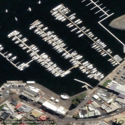
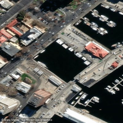
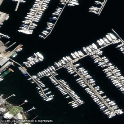
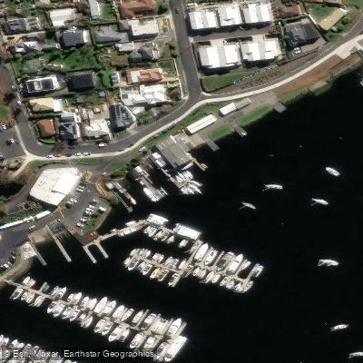
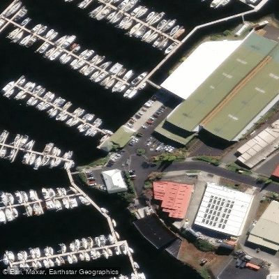
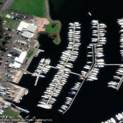
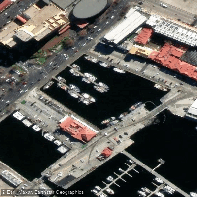
Learn how to get on Derwent River. Uncover great paddling access points, boat ramps, and all the facilities you need for an unforgettable day on the water. Some locations shown may border or include private property. Always check property boundaries and applicable regulations before visiting. PaddleWays's Public & Private Land layer can help you plan your access with confidence.
Paddle smarter with real-time insights
Whether you're en route and conditions shift or you're looking for the best spot based on current flows, we enable you to make informed decisions on the fly.








Find Places to Paddle

Over 400,000 Places to Paddle
Every user gets free access to launch points, boat ramps, and public property parcels.


Tides, wind & water conditions (10 day forecast)
On open water, wind and tide matter as much as the weather. See the best times to paddle Derwent River and check the marine forecast before you launch.
Loading tide predictions…
Paddling near Derwent River
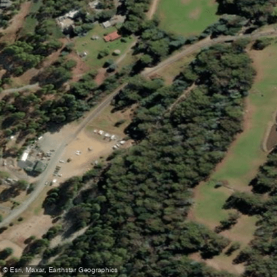
North West Bay River
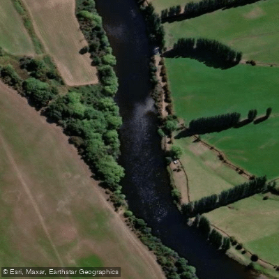
River Derwent
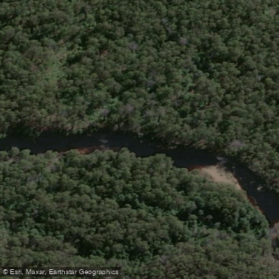
Huon River
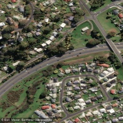
Kangaroo Bay Rivulet
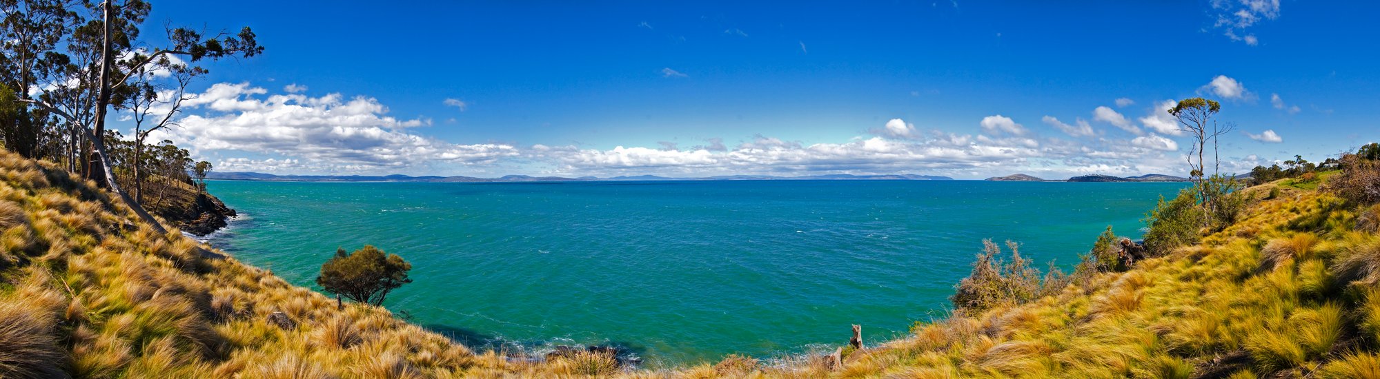
Frederick Henry Bay
Russell River
River Clyde
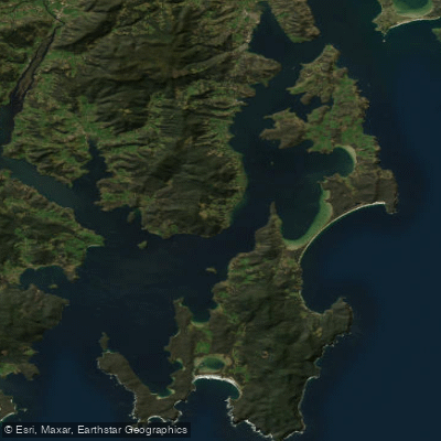
D'Entrecasteaux Channel
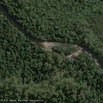
Weld River
Explore Tasmania waters
Top paddling waters
No waters available right now.
Popular Cities
Loading popular cities...
Explore near Derwent River
Access points
Nearby waters
More in Tasmania

Smarter Paddling Starts in the App.
Paddleways gives you everything you need to plan smarter, paddle better, and own every trip from first launch to takeout.