River Derwent
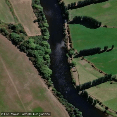
River Derwent
- Boat Ramps
- 4
- Access Points
- 0
- Campsites
- 1
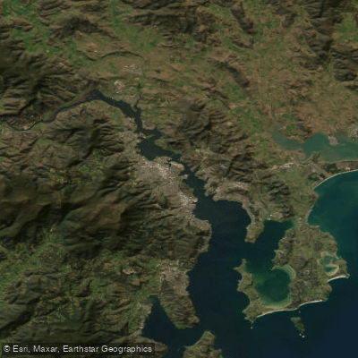
The River Derwent rises at Lake St. Clair in Tasmania's central highlands, formed by the confluence of the Narcissus and Cuvier Rivers, and flows more than 200 kilometres south to Hobart, dropping over 700 metres in elevation along the way. A series of hydroelectric dams have created seven lakes along its course — Meadowbank, Cluny, Repulse, Catagunya, Wayatinah, Liapootah, and King William — before the river enters a broad estuary at Hobart, which is noted as the deepest sheltered harbour in the Southern Hemisphere. Typical flow rates run between 50 and 140 cubic metres per second.
For paddlers, the river is generally described in three sections. From Gretna to New Norfolk, the river is deep, fast, and difficult to wade, with overgrown banks making this stretch challenging. River flows are particularly critical in this section and can significantly affect both wading and paddling conditions; flow data is available from the Bureau of Meteorology. Canoe Tasmania grades sections of the river from Grade 1 (Easy) to Grade 2 (Medium).
A popular kayak route runs from near Meadowbank Dam to Big Bend (also known as Rayners Corner), just south of Bushy Park — a distance of approximately 24.2 kilometres that experienced paddlers have completed in around three hours of moving time. Note that public access to the river at the base of Meadowbank Dam via Meadowbank Dam Road is not permitted by Hydro Tasmania due to liability concerns; access has been arranged through nearby private properties such as Glenelg Estate. The exit at Big Bend features a clear track up the bank to Glenora Road with a gravel parking area. Other marked entry and exit points along the river include Gretna, Bushy Park, Rayners Corner, Hayes, Railway Bridge, Windsor Corner, Bryn Estyn, and New Norfolk.
In the lower estuary around Hobart, the Clarence Kayak Trail offers paddling along the eastern shore of the Derwent estuary, with launching points at locations including Risdon Boat Launch, Howrah Point, and Rokeby Beach. Paddlers with intermediate or advanced skills may cross from the western shore, launching from sites such as Cornelian Bay, Marieville Esplanade, Nutgrove Beach, and Taroona Beach. Flares are recommended when paddling outside the Derwent River proper. An inland angling licence is required for fishing on the river, and access to riverbanks across private land is by landowner goodwill only.
Water access, boat ramps & amenities
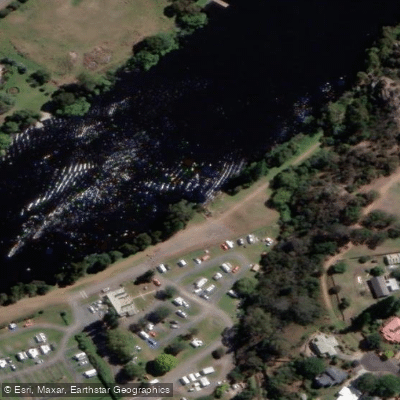
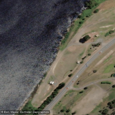
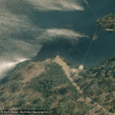
Learn how to get on River Derwent. Uncover great paddling access points, boat ramps, and all the facilities you need for an unforgettable day on the water. Some locations shown may border or include private property. Always check property boundaries and applicable regulations before visiting. PaddleWays's Public & Private Land layer can help you plan your access with confidence.
Paddle smarter with real-time insights
Whether you're en route and conditions shift or you're looking for the best spot based on current flows, we enable you to make informed decisions on the fly.








Find Places to Paddle

Over 400,000 Places to Paddle
Every user gets free access to launch points, boat ramps, and public property parcels.


Water and weather conditions (10 day forecast)
See the best times to paddle River Derwent and check the forecast before you go.
Derwent River - Above Nive River
All Flow Stations
Paddling near River Derwent
North West Bay River
Derwent River
Huon River
River Clyde
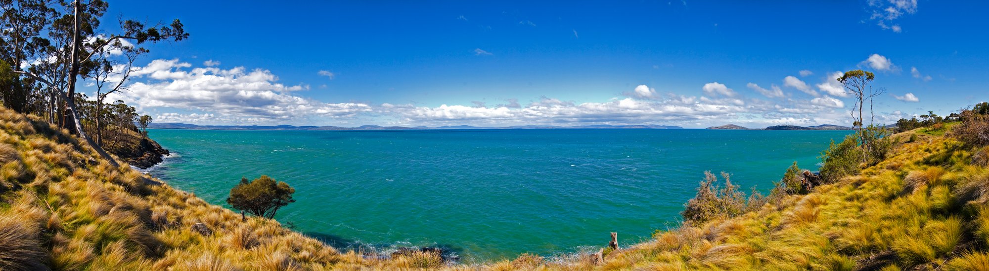
Frederick Henry Bay
Russell River
Lachlan River
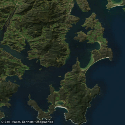
D'Entrecasteaux Channel
Weld River
Explore Tasmania waters
Top paddling waters
No waters available right now.
Popular Cities
Loading popular cities...
Explore near River Derwent

Smarter Paddling Starts in the App.
Paddleways gives you everything you need to plan smarter, paddle better, and own every trip from first launch to takeout.