North West Bay River
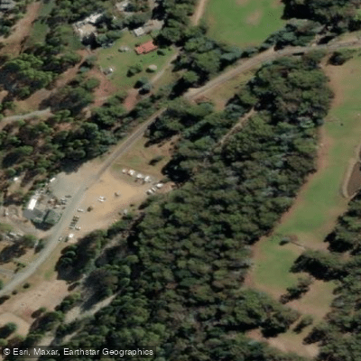
North West Bay River
- Boat Ramps
- 0
- Access Points
- 0
- Campsites
- 0
The North West Bay River in Tasmania runs approximately 25 kilometres from kunyani/Mt Wellington to its mouth at the D'Entrecasteaux Channel near Margate. The lower section of the river is the portion most documented for paddling, with a drive of roughly 15 minutes to the put-in reported by paddling groups.
The river carries enough gradient and volume in its lower reaches to support whitewater rafting and kayaking. The character of the lower section is technical and pushy, described as "chunky," with multiple rapids and features requiring active boat management. One notable hazard is a left-hand bend where an undermined tree projects approximately one metre into the river on the outside of the corner, with the main current directed directly into it — a serious strainer risk. A 0.5-metre drop exists on river right and has caused swimmers. A broken weir in the lower section also warrants scouting. Paddlers should be prepared for swim scenarios and have solid self-rescue skills.
Water levels on the river are variable; the trail that runs alongside the lower river notes that natural river crossings are only passable on foot when water levels are low, suggesting the river can run high and fast after rainfall. Paddlers should assess conditions carefully before committing to a run.
The river passes through intact bushland, rocky outcrops, and small farming communities on its way to the coast. The lower reaches near Margate transition toward the D'Entrecasteaux Channel, where the surrounding landscape opens into tidal mudflats and shallow channels. The trip is reported to finish near a bowls club, which can serve as a take-out reference point.
Water access, boat ramps & amenities
Learn how to get on North West Bay River. Uncover great paddling access points, boat ramps, and all the facilities you need for an unforgettable day on the water. Some locations shown may border or include private property. Always check property boundaries and applicable regulations before visiting. PaddleWays's Public & Private Land layer can help you plan your access with confidence.
Paddle smarter with real-time insights
Whether you're en route and conditions shift or you're looking for the best spot based on current flows, we enable you to make informed decisions on the fly.








Find Places to Paddle

Over 400,000 Places to Paddle
Every user gets free access to launch points, boat ramps, and public property parcels.


Water and weather conditions (10 day forecast)
See the best times to paddle North West Bay River and check the forecast before you go.
North West Bay Riv&Quot;T(5201) [North West Bay Rivulet @ Margate Ws Int]
All Flow Stations
Paddling near North West Bay River
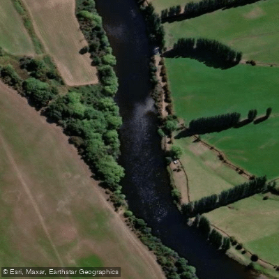
River Derwent
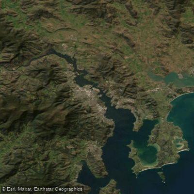
Derwent River
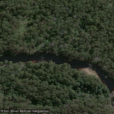
Huon River
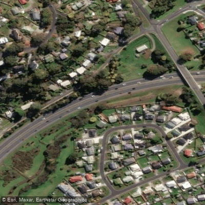
Kangaroo Bay Rivulet
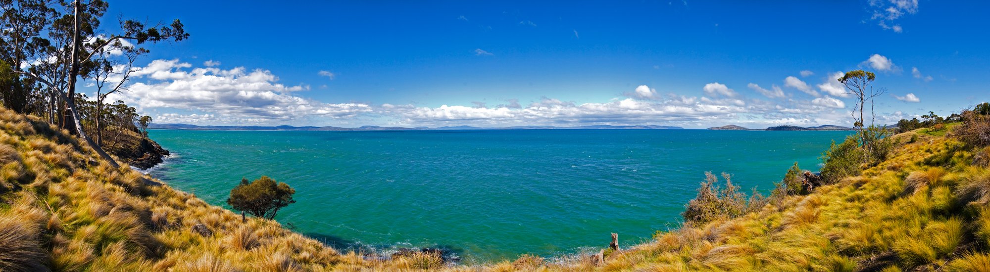
Frederick Henry Bay
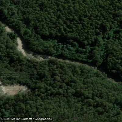
Russell River
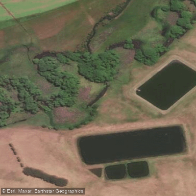
River Clyde
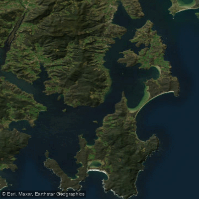
D'Entrecasteaux Channel
Weld River
Explore Tasmania waters
Top paddling waters
No waters available right now.
Popular Cities
Loading popular cities...
Explore near North West Bay River

Smarter Paddling Starts in the App.
Paddleways gives you everything you need to plan smarter, paddle better, and own every trip from first launch to takeout.