Frederick Henry Bay
- Saltwater
- Estuary
Frederick Henry Bay
- Saltwater
- Estuary
- Sq. miles
- 198
- Boat Ramps
- 7
- Access Points
- 0
- Campsites
- 2
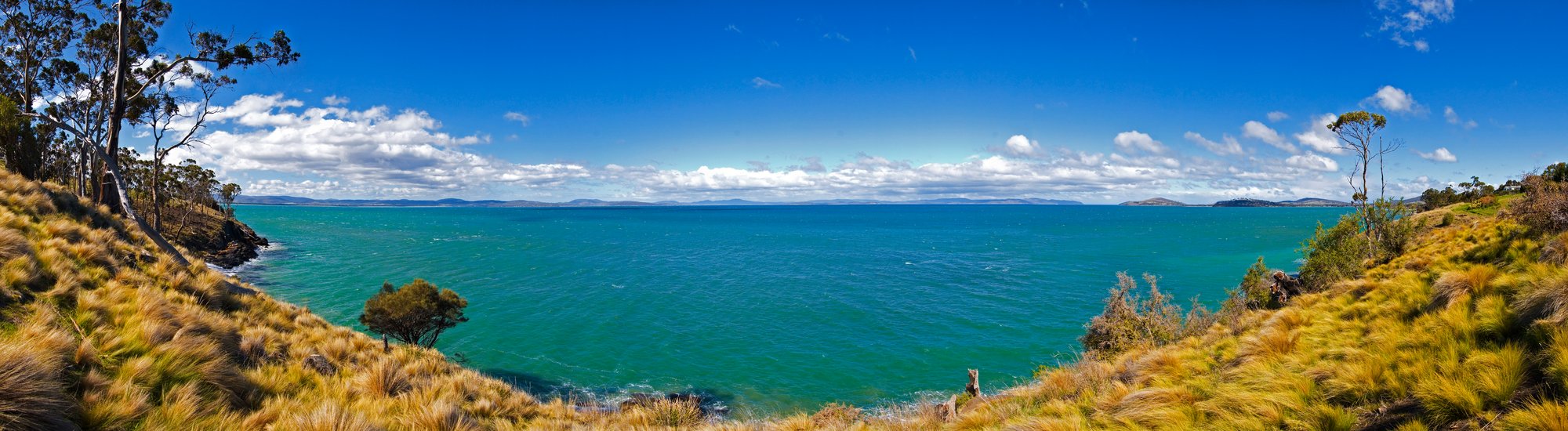
Frederick Henry Bay is a large, open coastal bay located southeast of Hobart, bordering the Tasman Peninsula to the west and the South Arm Peninsula to the east. It is a saltwater estuary with a connection to Storm Bay. The bay is characterized by a relatively shallow seabed, with depths often less than 20 meters, and a low-gradient shoreline featuring sandy beaches, rocky headlands, and sheltered coves. It offers a diverse paddling environment with views towards kunanyi/Mt Wellington, Bruny Island, and the Tasman Peninsula. The bay is known for its wildlife, including large flocks of short-tailed shearwaters, Australian fur seals, penguins, dolphins, and migrating whales. Access points for paddlers are found at various locations around its perimeter. The boat ramp at Lewisham provides entry to the Pitt Water Lagoon system, which connects to Frederick Henry Bay through narrow channels at Sandy Point and Dodges Ferry. The Cremorne boat ramp is another noted access point, and the Clarence Kayak Trail includes a section from Lauderdale to Seven Mile Beach and Sandy Point, which borders the bay. Paddling in Frederick Henry Bay requires significant caution due to its open, exposed nature. The bay is subject to strong winds which can quickly create hazardous conditions, as evidenced by multiple serious marine incidents where vessels have sunk. Paddlers must be prepared for sudden weather changes and should possess at least intermediate skills, including the ability to handle winds over 10 km/hour, perform self-rescue, and understand marine weather forecasts. It is critical to always wear a personal flotation device, carry appropriate safety equipment, and inform others of your trip plan. The area sees boat traffic from anglers and other recreational vessels. The bay's estuarine nature means tides are a key factor for trip planning, particularly when navigating the channels connecting Pitt Water Lagoon. The best paddling conditions are likely during calmer summer months, though wind is a constant consideration. Facilities are limited to basic boat ramps, and paddlers should be self-sufficient.
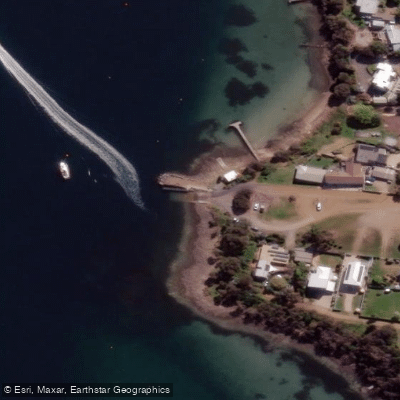
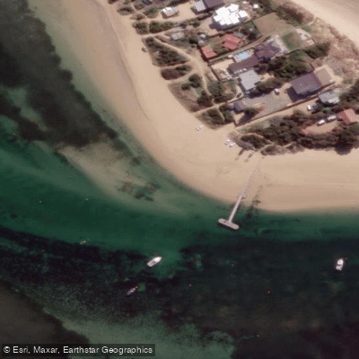
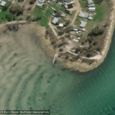
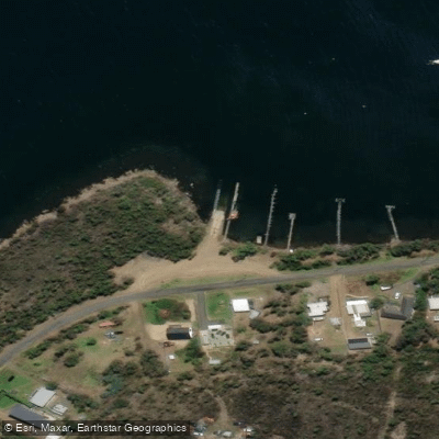
Water access, boat ramps & amenities
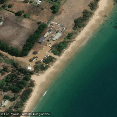
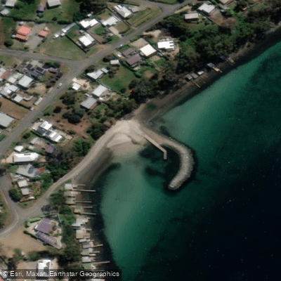
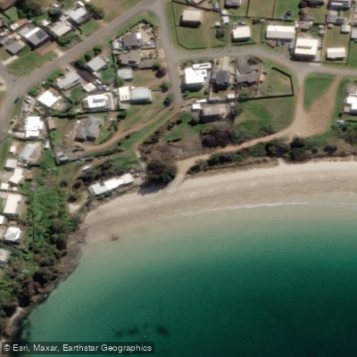
Learn how to get on Frederick Henry Bay. Uncover great paddling access points, boat ramps, and all the facilities you need for an unforgettable day on the water. Some locations shown may border or include private property. Always check property boundaries and applicable regulations before visiting. PaddleWays's Public & Private Land layer can help you plan your access with confidence.
Paddle smarter with real-time insights
Whether you're en route and conditions shift or you're looking for the best spot based on current flows, we enable you to make informed decisions on the fly.








Find Places to Paddle

Over 400,000 Places to Paddle
Every user gets free access to launch points, boat ramps, and public property parcels.


Tides, wind & water conditions (10 day forecast)
On open water, wind and tide matter as much as the weather. See the best times to paddle Frederick Henry Bay and check the marine forecast before you launch.
Loading tide predictions…
Paddling near Frederick Henry Bay
North West Bay River
River Derwent
Derwent River
Huon River
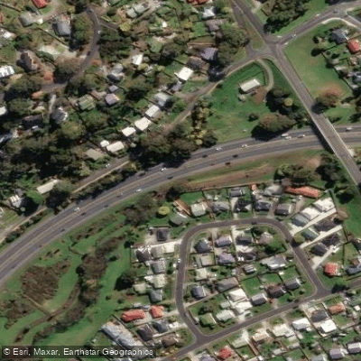
Kangaroo Bay Rivulet
Russell River
River Clyde
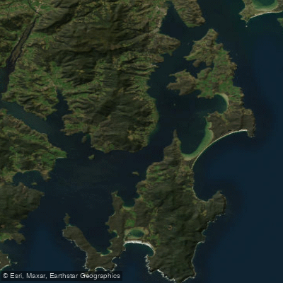
D'Entrecasteaux Channel
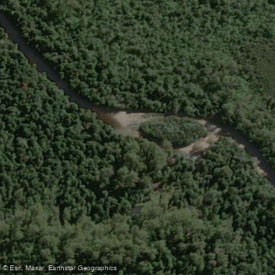
Weld River
Explore Tasmania waters
Top paddling waters
No waters available right now.
Popular Cities
Loading popular cities...
Explore near Frederick Henry Bay
Access points
Nearby waters
More in Tasmania

Smarter Paddling Starts in the App.
Paddleways gives you everything you need to plan smarter, paddle better, and own every trip from first launch to takeout.